Tour della strada dei 2.000 TdM
Saint-Jean-de-Maurienne
Charbonnel Group
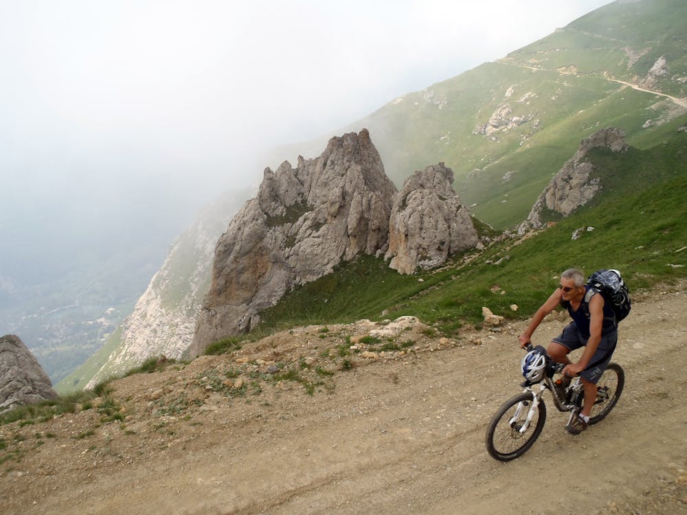
Magnifica vista sulla Val Cenischia
Also in Savoie, France
Mountain Biking Severe
- Distance
- 15 km
- Ascent
- 483 m
- Descent
- 1.5 km
- Duration
- 0-1 hrs
- Low Point
- 834 m
- High Point
- 2.2 km
- Gradient
- 19˚

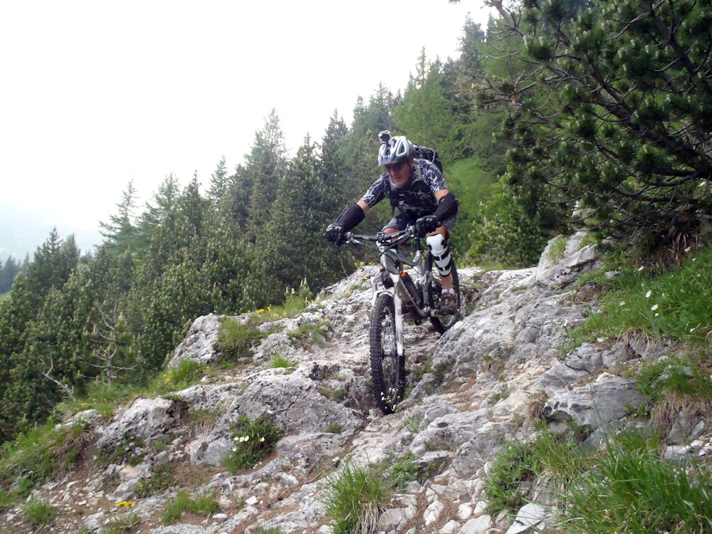
This is a popular mountain biking route which is generally considered to be severe. It's remote, it features high exposure and is typically done between April and November. From a low point of 834 m to the maximum altitude of 2.2 km, the route covers 15 km, 483 vertical metres of ascent and 1522 vertical metres of descent.
- •
- •
- •
Description
Stupendo Tour che dal Monce scende a Novalesa su single track
Difficulty
Severe
Widely variable, narrow trail tread with steeper grades and unavoidable obstacles of 15in/38cm tall or less. Obstacles may include unavoidable bridges 24in/61cm wide or less, large rocks, gravel, difficult root sections, and more. Ideal for advanced-level riders.
High Exposure

Some trail sections have exposed ledges or steep ascents/descents where falling could cause serious injury.
Remoteness

Away from help but easily accessed.
Best time to visit
Features
- Technical
- Hike a bike
- Picturesque
- Singletrack
- In the forest
- Road sections
- Drops
- Roots
- Rock Rolls
- Rock Slabs
- Rock Gardens
- Wooden Feature