7 km away
Pic Lombard
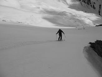
A classic ski tour in a peaceful and little known part of the French Alps.
Difficult Ski Touring
- Distance
- 7.3 km
- Ascent
- 944 m
- Descent
- 944 m
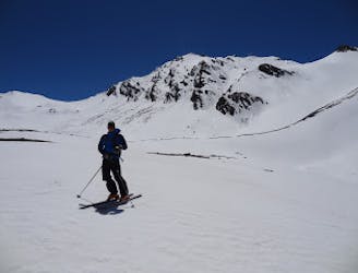
A classic of the Alta Valle di Susa
Ski Touring Moderate

The beautiful and changing scenary of this route will never cease to amaze you. From the quaint village of Rhuilles to following the Chabaud river and through sights of Cima Dorlier, this is a must-do classing ending in a stunning peak with the gorgeous Bivacco Corradini conveniently located for a nap once you get on top before coming back down.
Moderate
Slopes become slightly steeper at around 25-30 degrees.

Exposure is limited to that of the slope itself. Getting hurt is still likely if the slope is steep and/or the snow is hard.

Away from help but easily accessed.
7 km away
A classic ski tour in a peaceful and little known part of the French Alps.
Difficult Ski Touring
7 km away
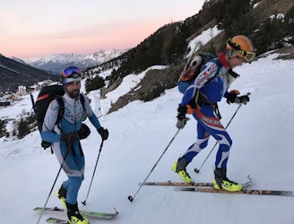
A classic ski couloir in a wild valley
Severe Ski Touring
8.9 km away
A hybrid day with 2 busy resorts at the beginning and the middle, sandwiched with some very remote and beautiful terrain
Difficult Ski Touring

50 routes · Freeride Skiing · Ski Touring

15 routes · Freeride Skiing · Ski Touring