9.6 km away
Santa Maria Maggiore to Rimella (Chiesa)
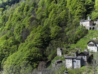
Day 44 of Grande Traversate delle Alpi (GTA), the famous long-distance hiking trail across the Italian Alps.
Moderate Hiking
- Distance
- 7.8 km
- Ascent
- 604 m
- Descent
- 568 m
Giro della porzione occidentale della Val Mastallone su sentieri poco battuti
Hiking Severe

This is a popular hiking route which is generally considered to be severe. It's extremely remote, it features high exposure and is typically done in May, June, September and October. From a low point of 711 m to the maximum altitude of 1.9 km, the route covers 29 km, 2796 vertical metres of ascent and 2809 vertical metres of descent.
Giro ad anello della Va Mastallone con partenza da Sabbia e rientro alla medesima destinazione;
Severe
Hiking challenging trails where simple scrambling, with the occasional use of the hands, is a distinct possibility. The trails are often filled with all manner of obstacles both small and large, and the hills are very steep. Obstacles and challenges are often unexpected and can be unpredictable.

Some trail sections have exposed ledges or steep ascents/descents where falling could cause serious injury.

In the high mountains or remote conditions, all individuals must be completely autonomous in every situation.
9.6 km away
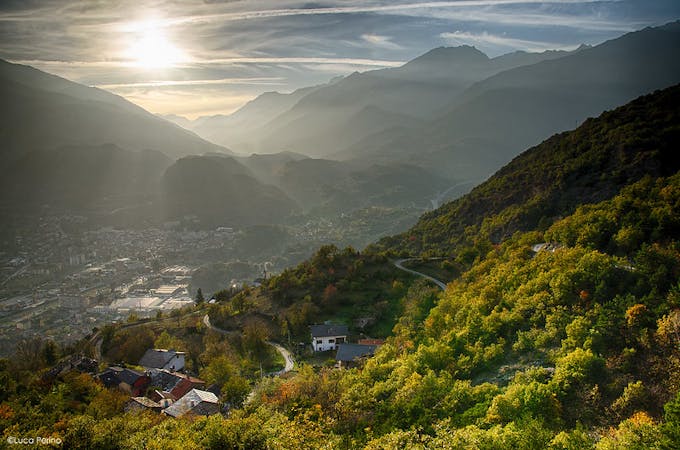
Day 44 of Grande Traversate delle Alpi (GTA), the famous long-distance hiking trail across the Italian Alps.
Moderate Hiking
5 routes · Hiking