Karakol to Ala Kul base camp
From Karakol outskirts to the valley base camp
Hiking Easy
- Distance
- 18 km
- Ascent
- 756 m
- Descent
- 139 m
- Duration
- 4-5 hrs
- Low Point
- 1.9 km
- High Point
- 2.6 km
- Gradient
- 5˚

This is a popular hiking route which is generally considered to be easy. It's remote, it features low exposure and is typically done between May and August. From a low point of 1.9 km to the maximum altitude of 2.6 km, the route covers 18 km, 756 vertical metres of ascent and 139 vertical metres of descent.
Description
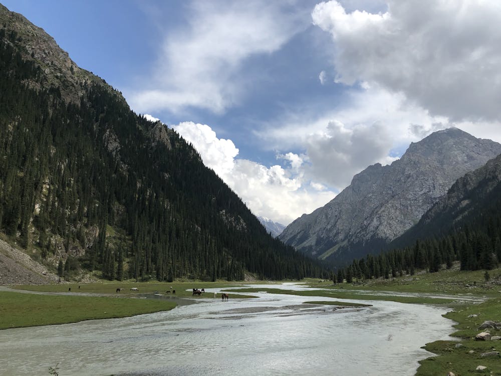
Fantastic hike through alpine scenery. The trail starts on the outskirts of Karakol, then progresses along the valley next to the Karakol river. Beautiful views on the valley and the river, the only inhabitants we met were horses roaming free until we reached the base camp.
Difficulty
Easy
Walking along a well-kept trail that’s mostly flat. No obstacles are present.
Low Exposure

The path is on completely flat land and potential injury is limited to falling over.
Remoteness

Away from help but easily accessed.
Best time to visit
Features
- Alpine
- Picturesque
- Forestry or heavy vegetation