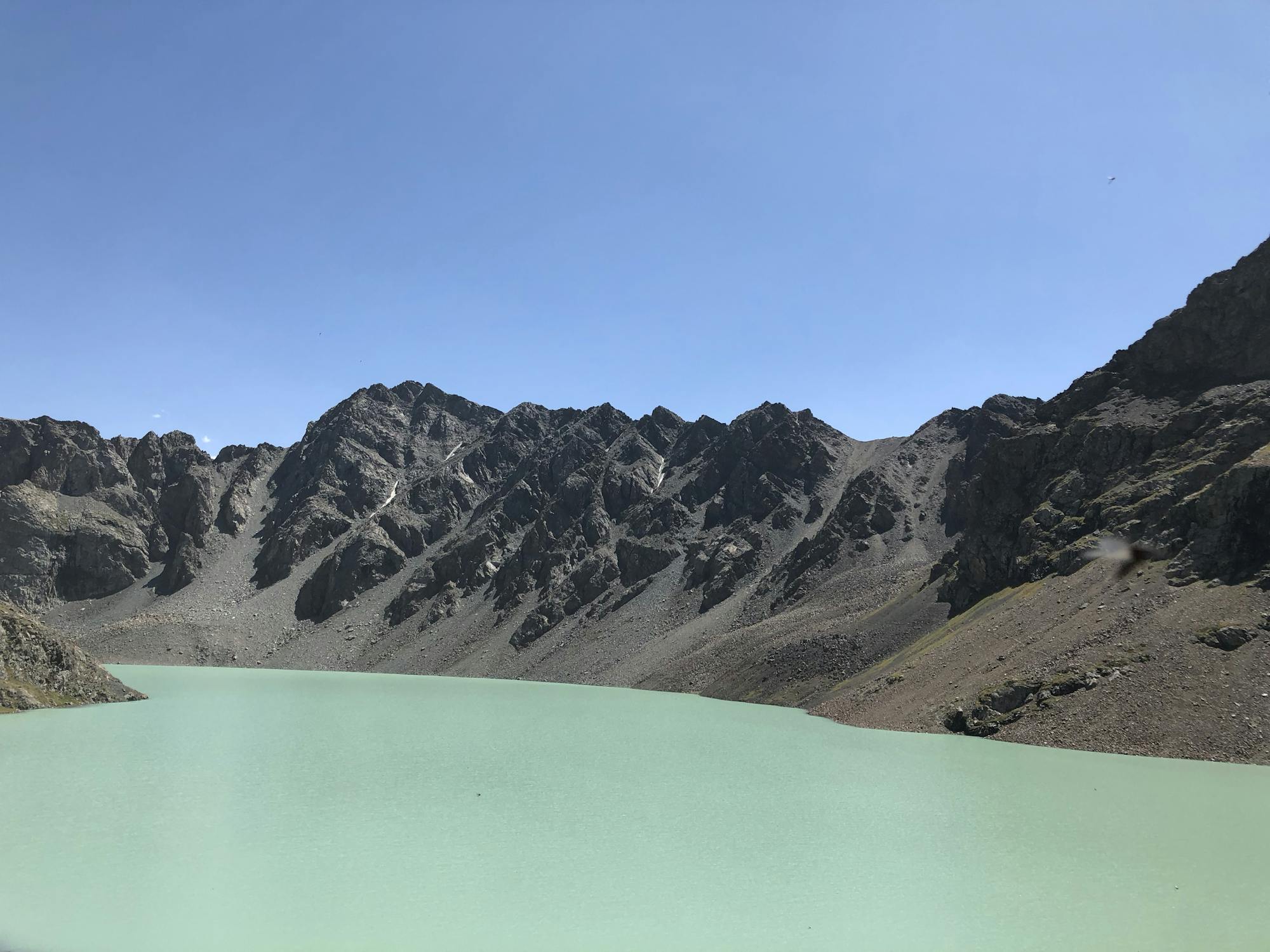
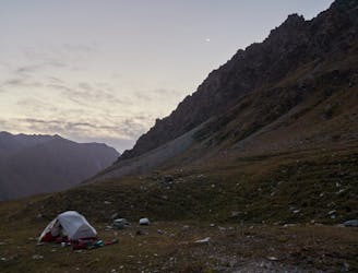
Ala Kul
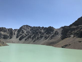
Daily hike to the Ala Kul from the valley base camp
Difficult Hiking
- Distance
- 13 km
- Ascent
- 1.1 km
- Descent
- 1.1 km
Go hiking in Ysyk-Köl with curated guides of the best hikes across the region. With over 29 3D trail maps in FATMAP, you can easily discover and navigate the best trails in Ysyk-Köl.
No matter what your next adventure has in store, you can find a guide on FATMAP to help you plan your next epic trip.
Get a top hiking trail recommendation in Ysyk-Köl, or get inspired by the 29 local adventures uploaded by the FATMAP community. Start exploring now!
Daily hike to the Ala Kul from the valley base camp
Difficult Hiking
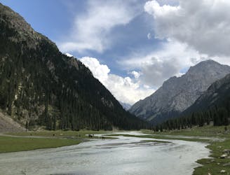
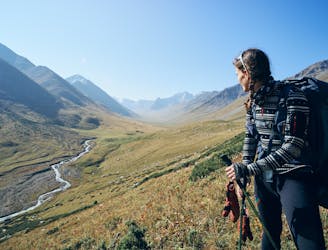
From Karakol outskirts to the valley base camp
Easy Hiking
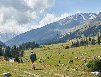
Day 1 on the Ak-Suu traverse
Moderate Hiking
The final push - down to Jeti-Oguz
Difficult Hiking
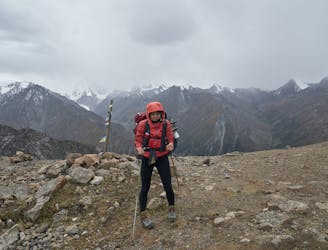
4000m passes, Ala-Kol lake, and a steep descent
Extreme Hiking
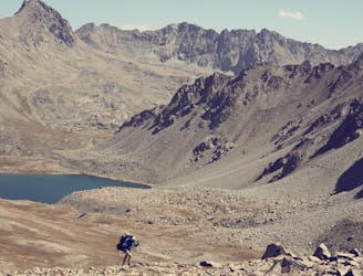
First alpine pass, river crossing, and long walk up to camp
Difficult Hiking
A long day crossing Ailanysh Pass (3676m)
Difficult Hiking