Via Alpina
Axalp ob Brienz
Gstaad
Meiringen-Hasliberg
Schönried - Saanenmöser - Zweisimmen - St. Stephan
Engelberg
Trail Running Switzerland East to West
Also in Bern, Switzerland • Fribourg, Switzerland • Glarus, Switzerland • Nidwalden, Switzerland • Obwalden, Switzerland • Sankt Gallen, Switzerland • Schwyz, Switzerland • Uri, Switzerland • Vaud, Switzerland
Trail Running Difficult
- Distance
- 383 km
- Ascent
- 20 km
- Descent
- 20 km
- Duration
- 1 day +
- Low Point
- 372 m
- High Point
- 2.8 km
- Gradient
- 11˚
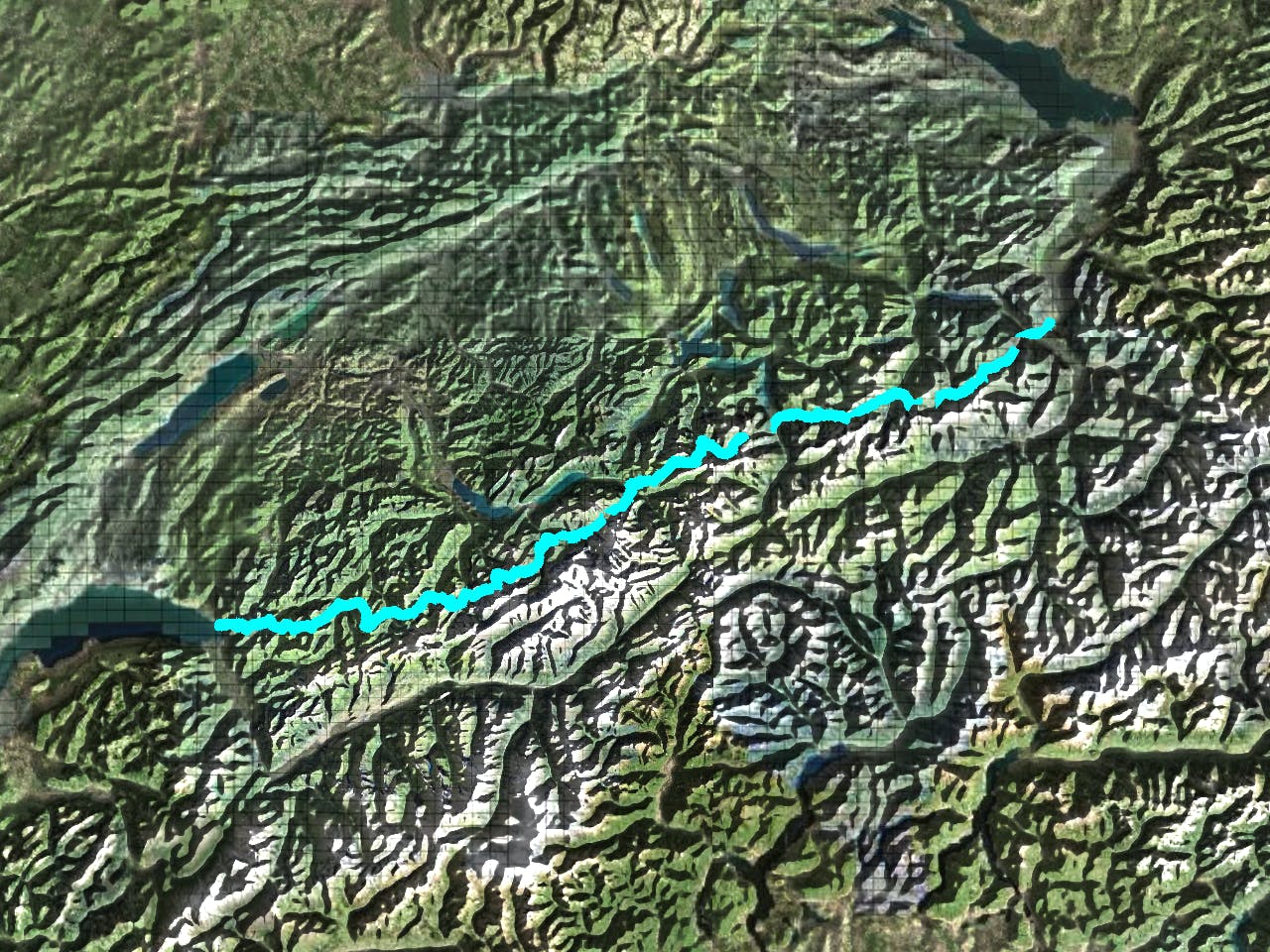
This is a popular trail running route which is generally considered to be difficult. It's not remote, it features low exposure and is typically done between July and September. From a low point of 372 m to the maximum altitude of 2.8 km, the route covers 383 km, 19565 vertical metres of ascent and 19671 vertical metres of descent.
Description
The Via Alpina crosses 14 of the most beautiful Alpine passes. Straight through six Swiss cantons with a vast variety of culture, geology and topography.
Difficulty
Difficult
Low Exposure

The path is on completely flat land and potential injury is limited to falling over.
Remoteness
Close to help in case of emergency.