6.1 km away
Nice walk to a secret "Tarzanke" Place.
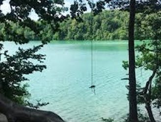
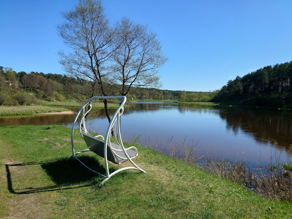
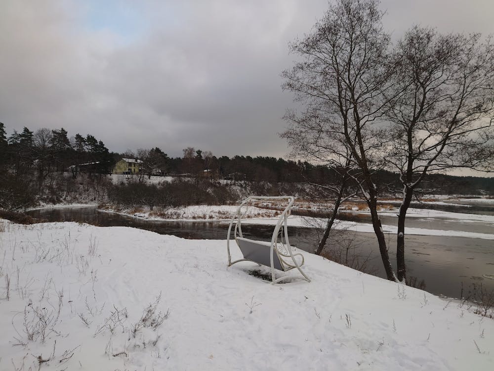
A great place for extreme swimmers, who like to jump from high places into the water.
Extreme Hiking
- Distance
- 1.8 km
- Ascent
- 25 m
- Descent
- 27 m
Nice walk along 5 lakes and Neris river
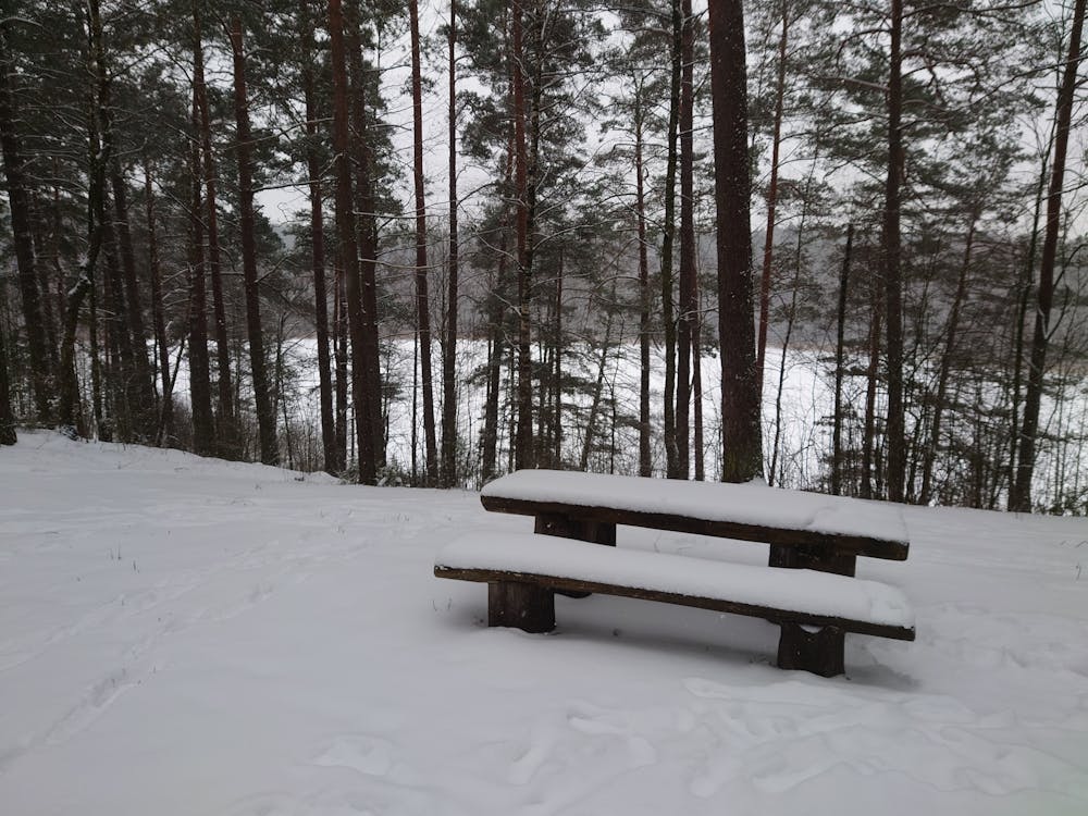
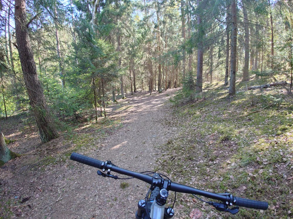
Hiking Easy

This is a popular hiking route which is generally considered to be easy. It's not remote, it features low exposure and is typically done all year round. From a low point of 97 m to the maximum altitude of 178 m, the route covers 25 km, 472 vertical metres of ascent and 476 vertical metres of descent.
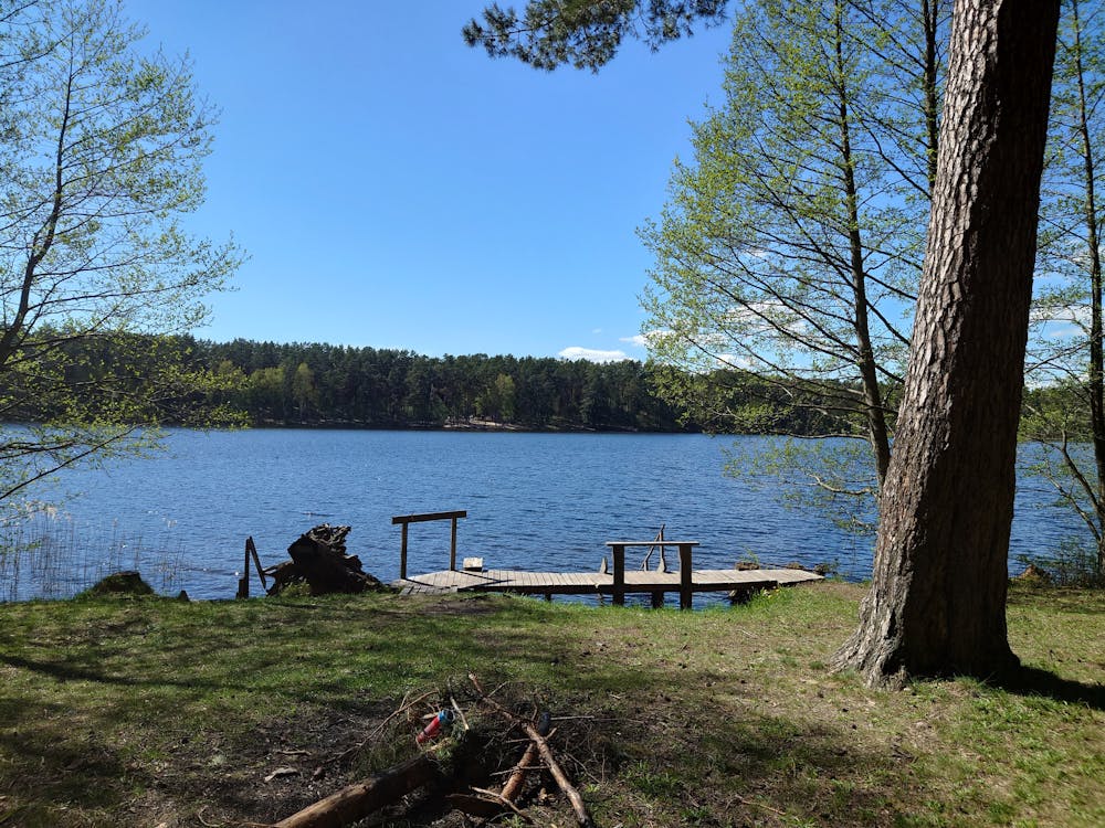
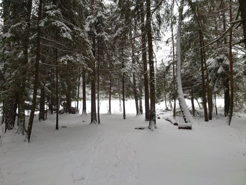

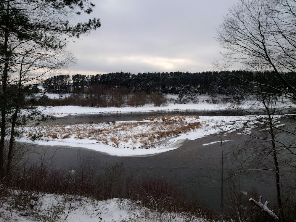
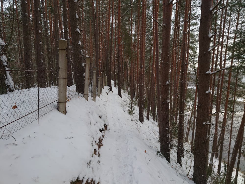
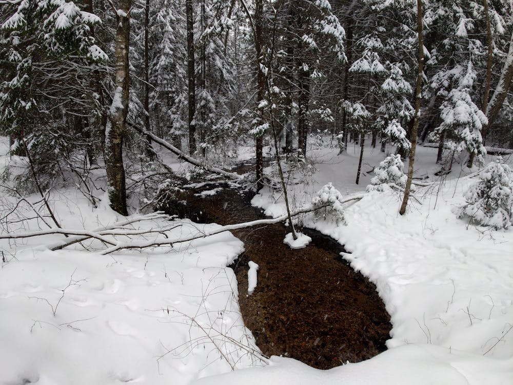
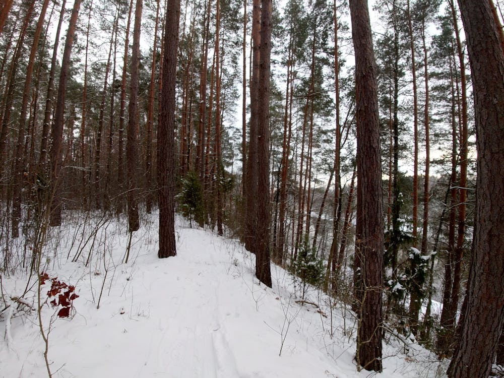
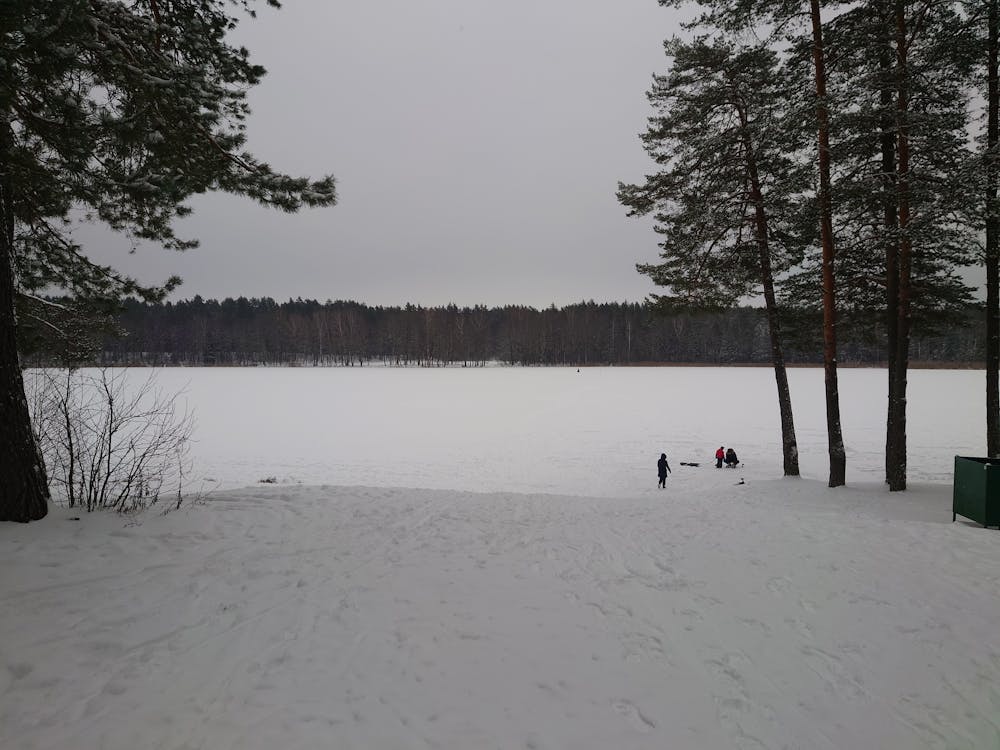
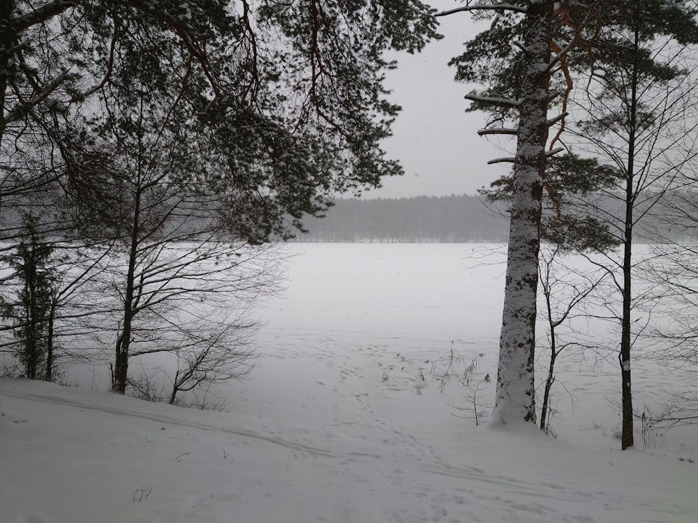
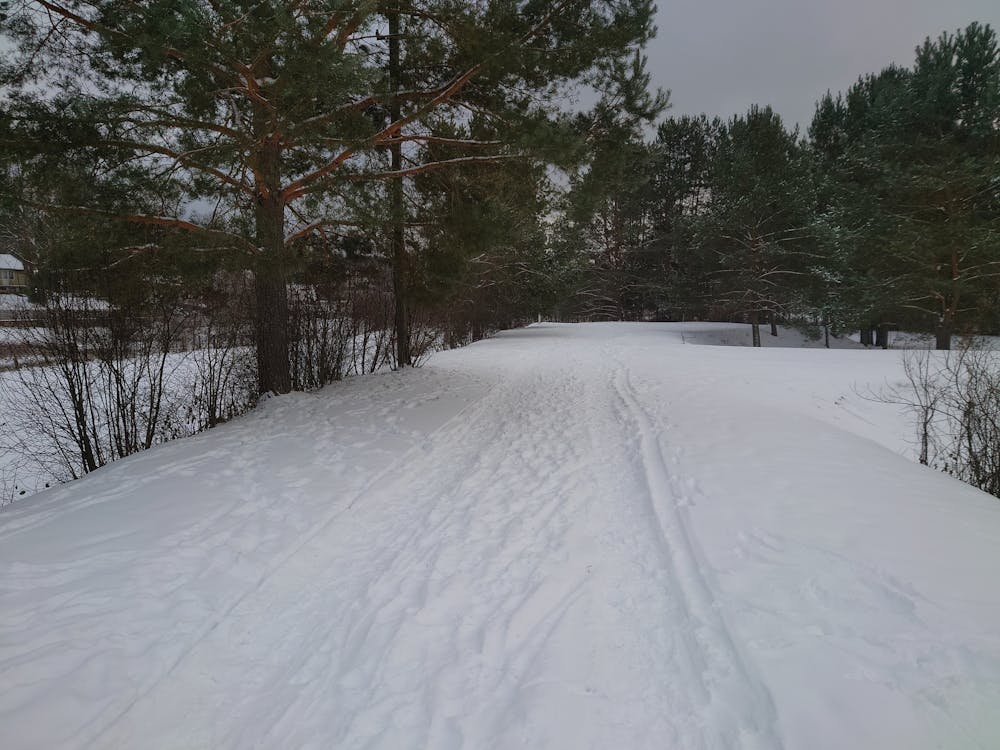
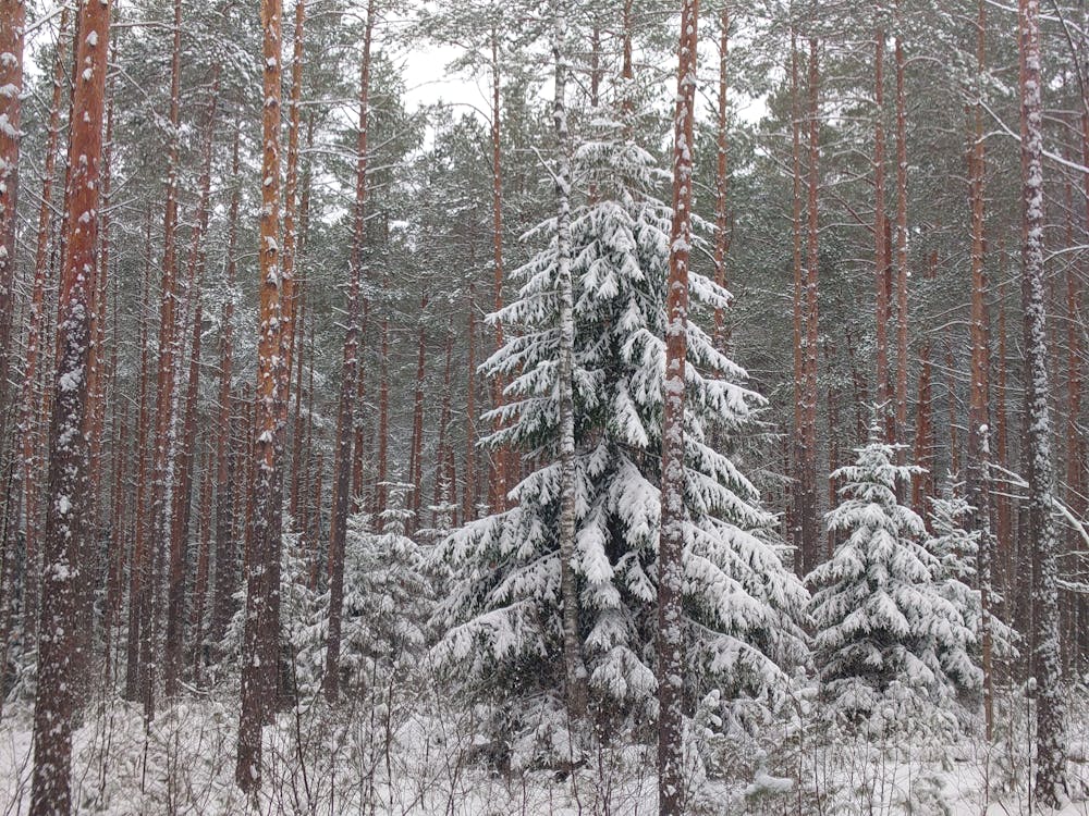
Walk along 5 lakes (Tapeliai, Juodis, Balžio, Skarbelis and Antavilių) and Neris river. Perfect for those who enjoy being in a forest as you will never leave it while hiking. There are no big hills and most of the surface is forest single tracks. Can be hiked all year round.
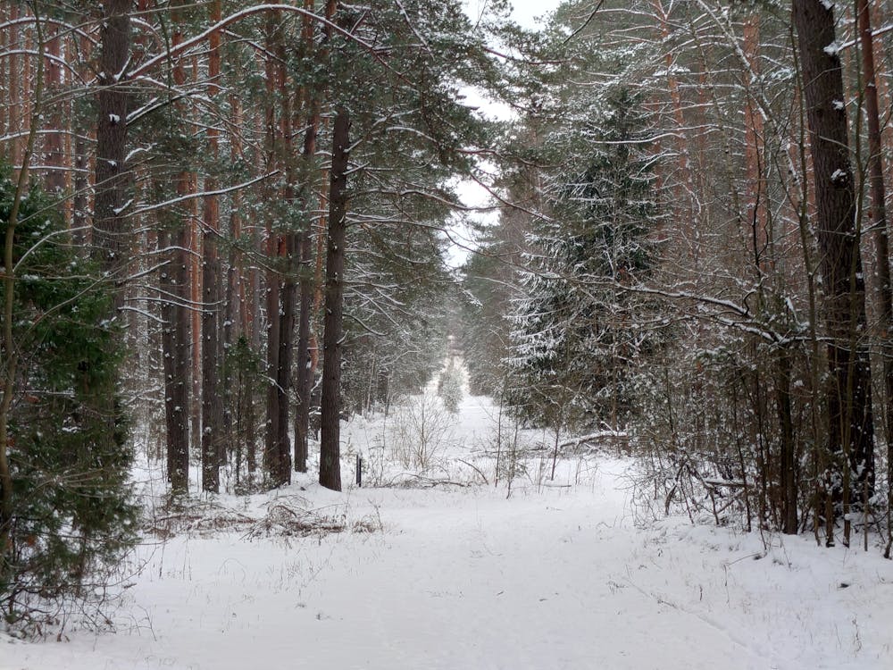
Easy
Walking along a well-kept trail that’s mostly flat. No obstacles are present.

The path is on completely flat land and potential injury is limited to falling over.
Close to help in case of emergency.
6.1 km away
A great place for extreme swimmers, who like to jump from high places into the water.
Extreme Hiking