6.1 km away
Mgoun Mountain: Ikiss to Tarkeddit Refuge
Day 2: After a relatively mellow start yesterday, today is all about getting into the high mountains and in position for your summit push.
Severe Hiking
- Distance
- 9 km
- Ascent
- 1.1 km
- Descent
- 451 m
Day 3: The big kahuna! Even in good conditions this is a long day, but the rewards are more than worth some exertion.
Hiking Difficult

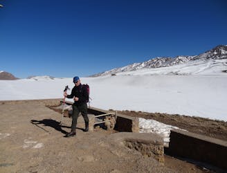
Given how much ground there is to cover today, a pre-dawn start is recommended, particularly in winter. Emerging out into the cold and dark is always unpleasant, but being midway across the Tarkeddit plateau as the sun begins to appear on the horizon is a wonderful experience.
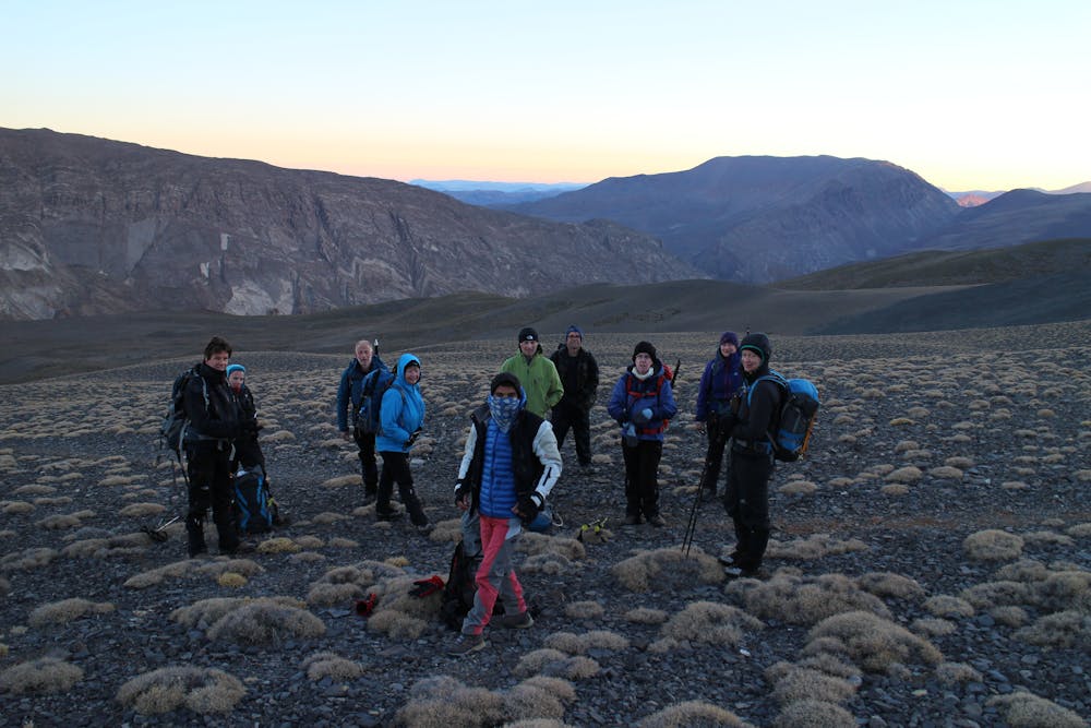
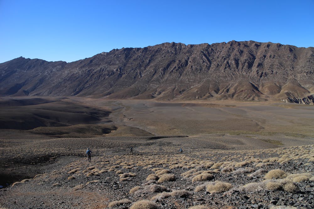
The route from the hut goes north/northwest across the plateau. On the initial section, the height gain is minimal, but there is a lot of distance to cover. If you're doing this trip in winter and there is no track through the snow, breaking trail across the plateau is one of the toughest parts of the day.
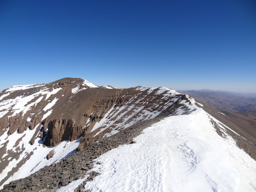
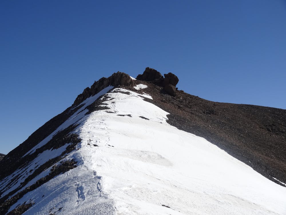
Having crossed the plateau, the path begins to climb through boulder fields and winds up at a huge, open bowl. The further you go up the bowl the steeper it gets, and it culminates with a short, sharp climb onto Mgoun's summit ridge. This final climb to the ridge is quite exposed and in icy conditions, you will need some cramponing skills to negotiate it safely.
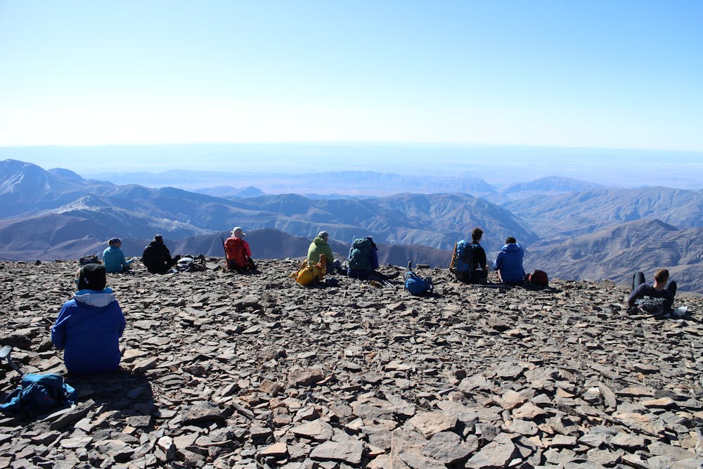
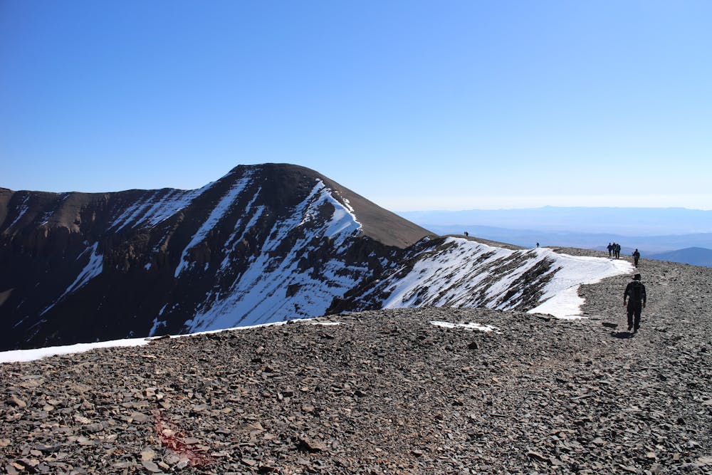
Once on the ridge, grab a drink and take in the breathtaking panorama to the south. Suitably refreshed, follow the wide ridge crest as it curves east and then north onto the summit of Mgoun. The ridge is never technical, but there are short sections that are slightly exposed, and those cramponing skills could come in handy again in icy conditions.
From reaching the ridge to getting to the summit takes about 2 hours, so you'll have plenty of time to take in the ambiance and views. From the summit, you'll be able to trace the route you took to get there, and will also be able to see the refuge far away on the other side of the Tarkeddit plateau.
Once you've taken photos and toasted your success, turn around and retrace your steps all the way back to the refuge.
After a (hopefully) long and peaceful sleep, link days 1 and 2 in reverse and descend all the way back to Ait Bouguemez village.
Difficult
Hiking trails where obstacles such as rocks or roots are prevalent. Some obstacles can require care to step over or around. At times, the trail can be worn and eroded. The grade of the trail is generally quite steep, and can often lead to strenuous hiking.

The trail contains some obstacles such as outcroppings and rock which could cause injury.

In the high mountains or remote conditions, all individuals must be completely autonomous in every situation.
6.1 km away
Day 2: After a relatively mellow start yesterday, today is all about getting into the high mountains and in position for your summit push.
Severe Hiking
6 routes · Hiking