Mgoun Mountain: Mgoun Summit
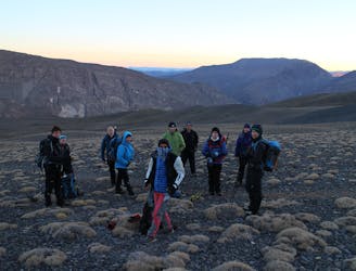
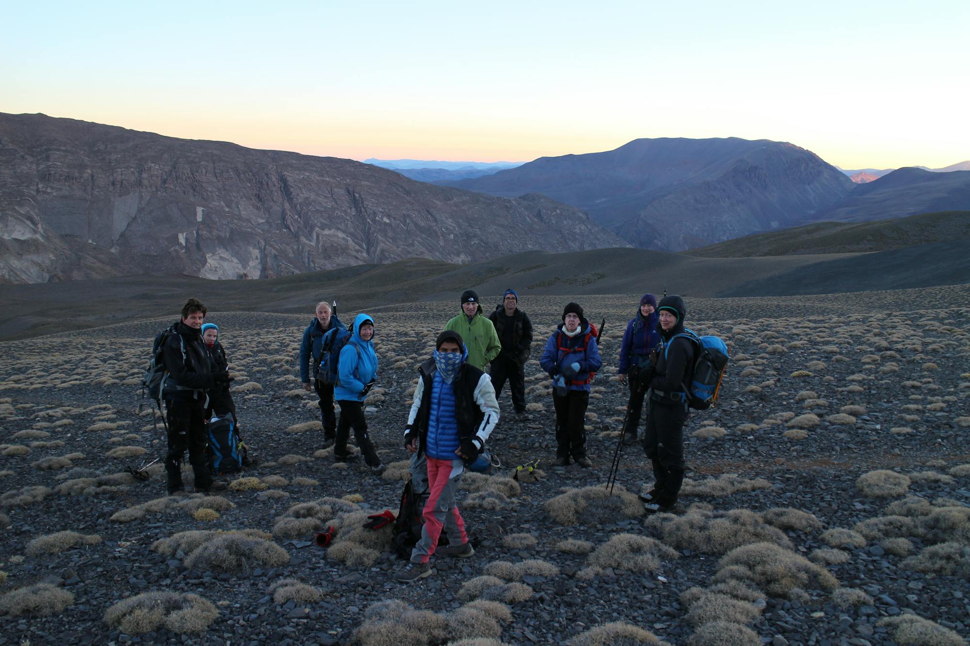
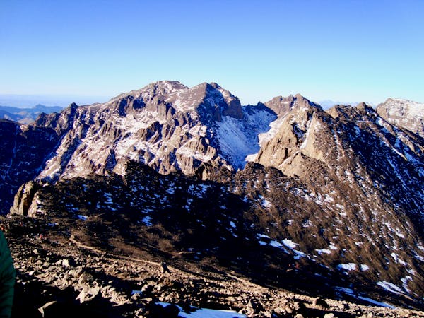
Day 3: The big kahuna! Even in good conditions this is a long day, but the rewards are more than worth some exertion.
Difficult Hiking
- Distance
- 20 km
- Ascent
- 1.5 km
- Descent
- 1.5 km
Go hiking in Souss - Massa - Draâ with curated guides of the best hikes across the region. With over 7 3D trail maps in FATMAP, you can easily discover and navigate the best trails in Souss - Massa - Draâ.
No matter what your next adventure has in store, you can find a guide on FATMAP to help you plan your next epic trip.
Get a top hiking trail recommendation in Souss - Massa - Draâ from one of our 1 guidebooks, or get inspired by the 7 local adventures uploaded by the FATMAP community. Start exploring now!


Day 3: The big kahuna! Even in good conditions this is a long day, but the rewards are more than worth some exertion.
Difficult Hiking
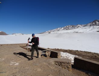
Day 2: After a relatively mellow start yesterday, today is all about getting into the high mountains and in position for your summit push.
Severe Hiking
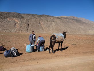
Day 1: A lovely first day which leads through some beautiful scenery and traditional Berber villages.
Moderate Hiking
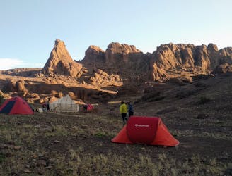
Traversée sud du Siroua, avec ascension du Jbel Siroua (3300m). Trek itinérant sur 4 jours.
Moderate Hiking
6 routes · Hiking