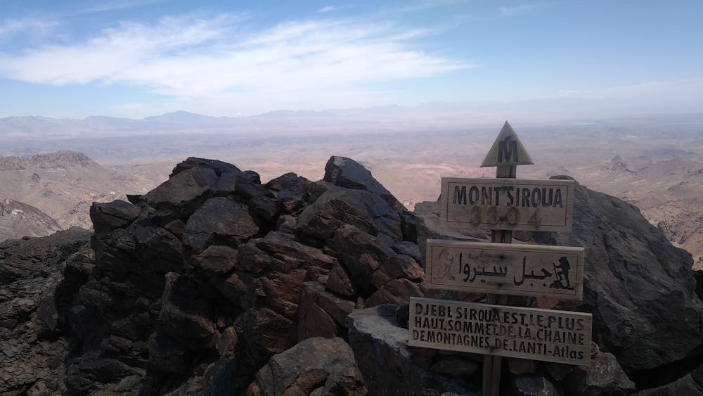
Trek Siroua
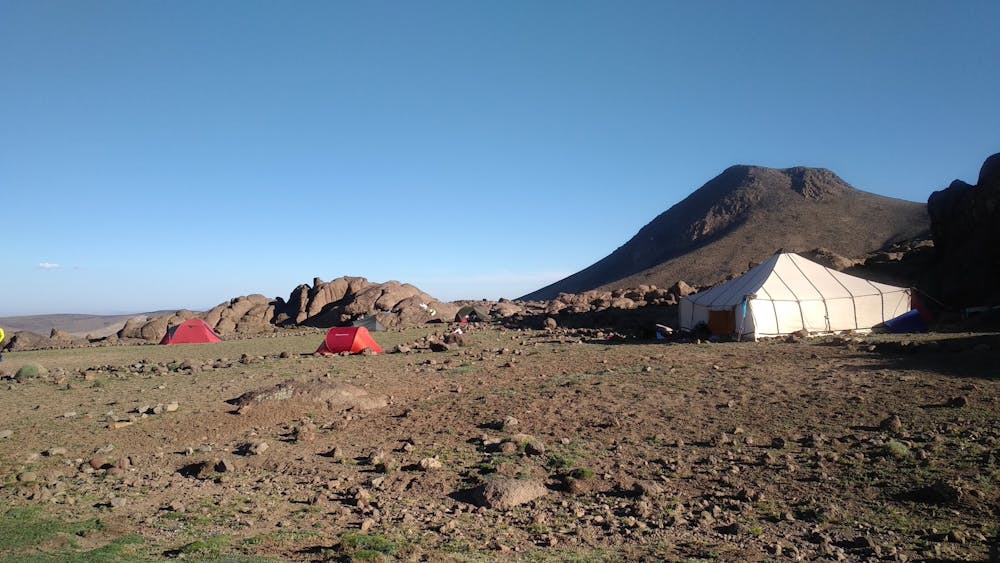
Traversée sud du Siroua, avec ascension du Jbel Siroua (3300m). Trek itinérant sur 4 jours.
Hiking Moderate
- Distance
- 48 km
- Ascent
- 2 km
- Descent
- 2.3 km
- Duration
- 1 day +
- Low Point
- 1.6 km
- High Point
- 3.2 km
- Gradient
- 18˚

This is a popular hiking route which is generally considered to be moderate. It's remote, it features medium exposure and is typically done in April, May, June, September and October. From a low point of 1.6 km to the maximum altitude of 3.2 km, the route covers 48 km, 1992 vertical metres of ascent and 2275 vertical metres of descent.
- •
- •
- •
- •
- •
- •
- •
- •
- •
- •
Description
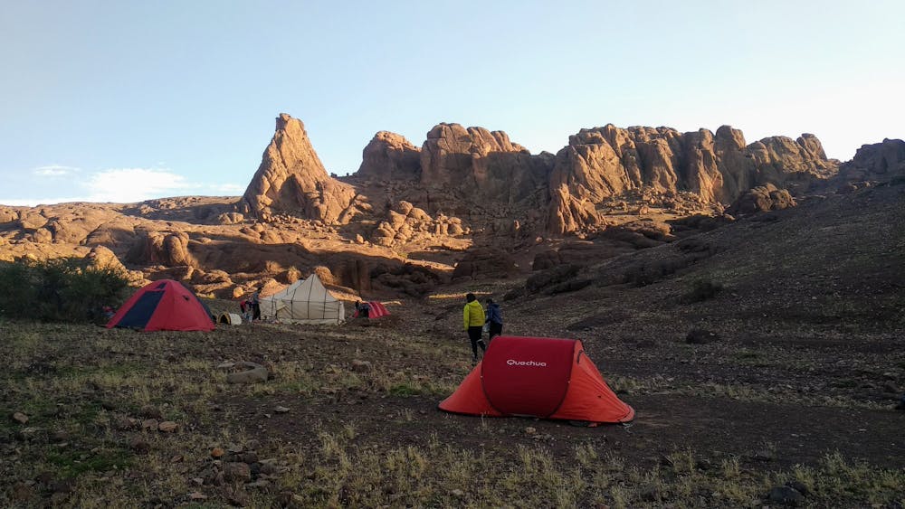
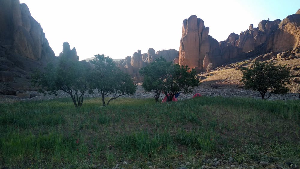
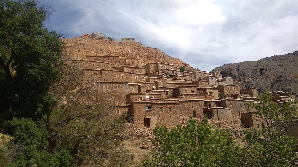
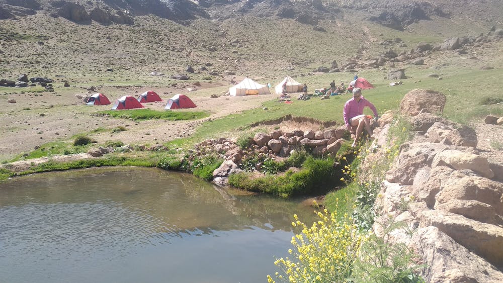
Trek sur 5 jours. Traversée sud du massif du Siroua, de Aït Tigga à Assaïs, avec ascension du Jbel Siroua (3300 m), plus haut sommet de l'Anti Atlas. Un très beau trek à réaliser au printemps.
Difficulty
Moderate
Hiking along trails with some uneven terrain and small hills. Small rocks and roots may be present.
Medium Exposure

The trail contains some obstacles such as outcroppings and rock which could cause injury.
Remoteness
Away from help but easily accessed.
Best time to visit
Features
- Wildlife
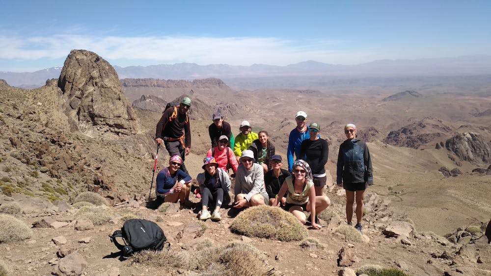
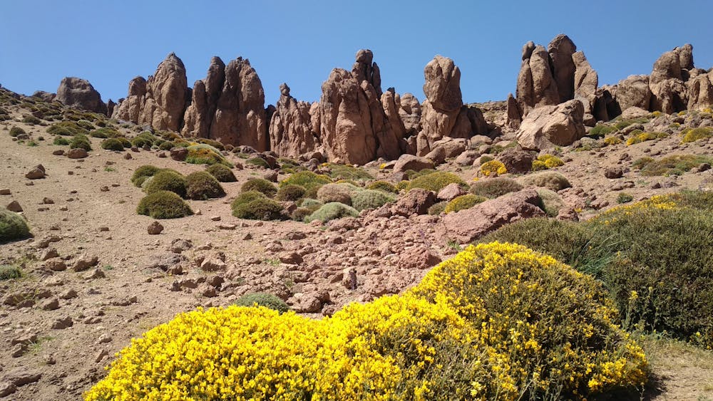
- Picturesque
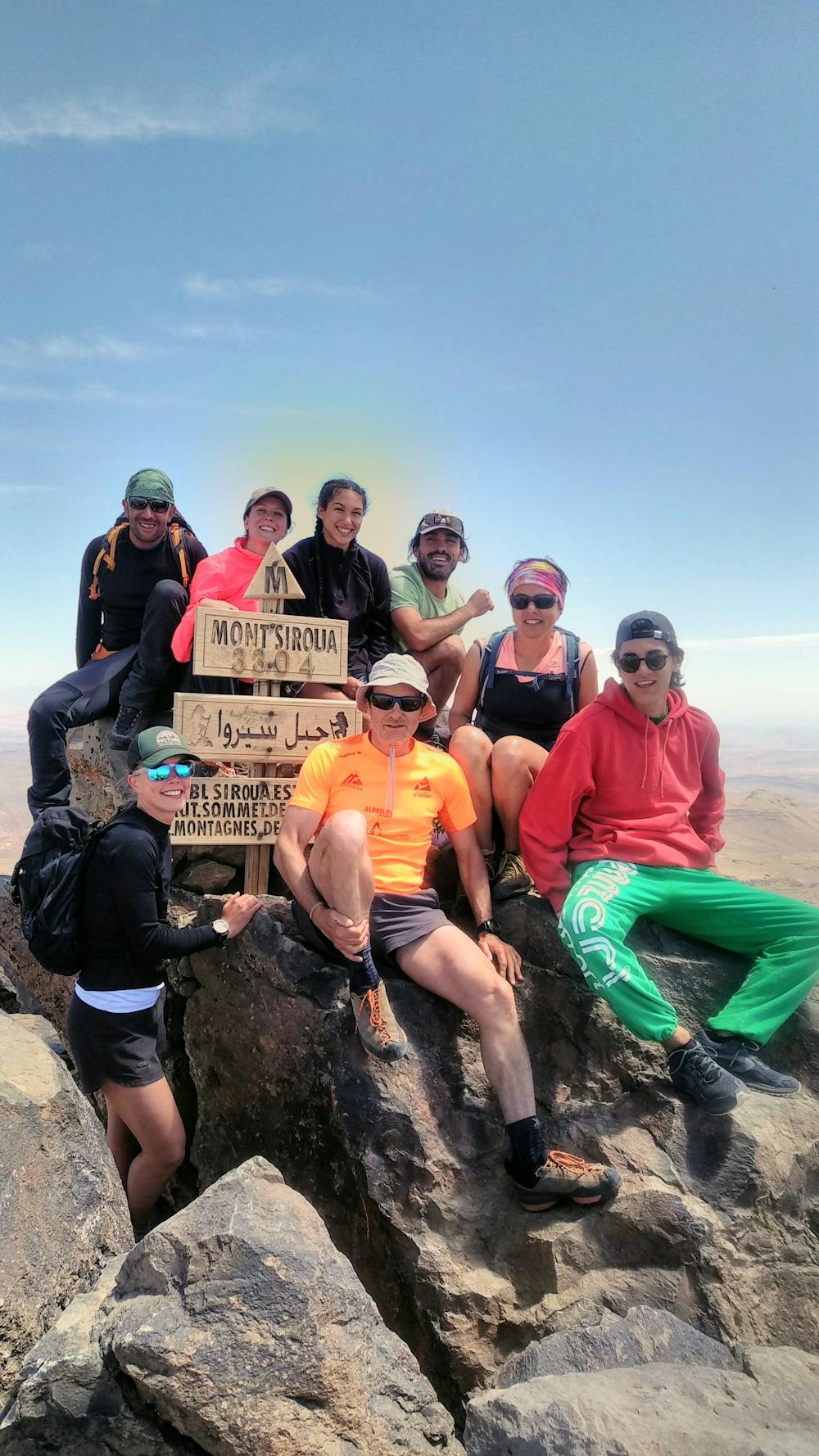
- Summit Hike
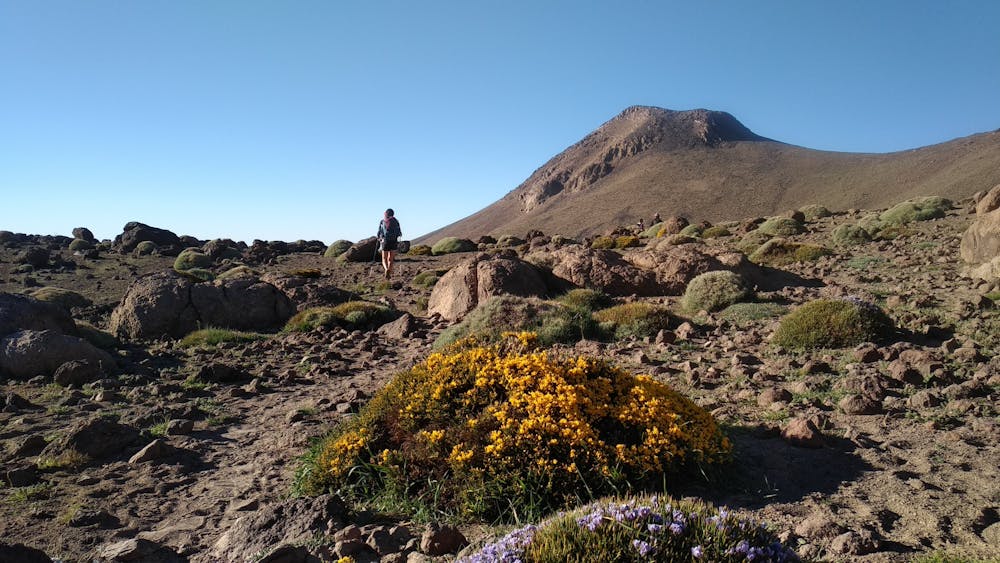
- Wild flowers
- Water features