Kathmandu Valley Rim / Manjushree Trail Race
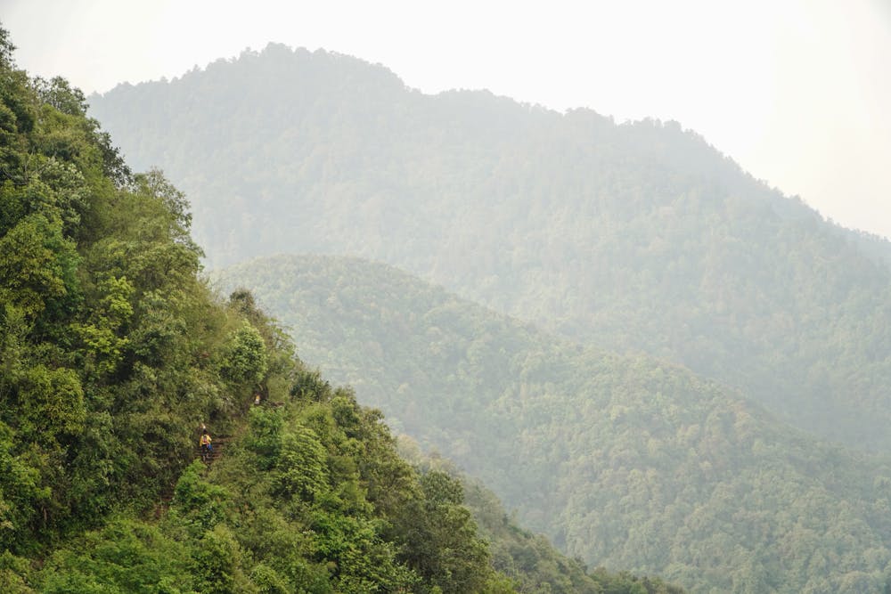
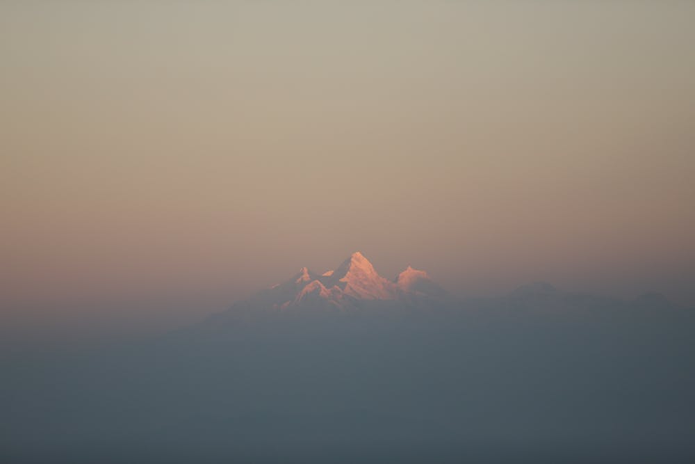
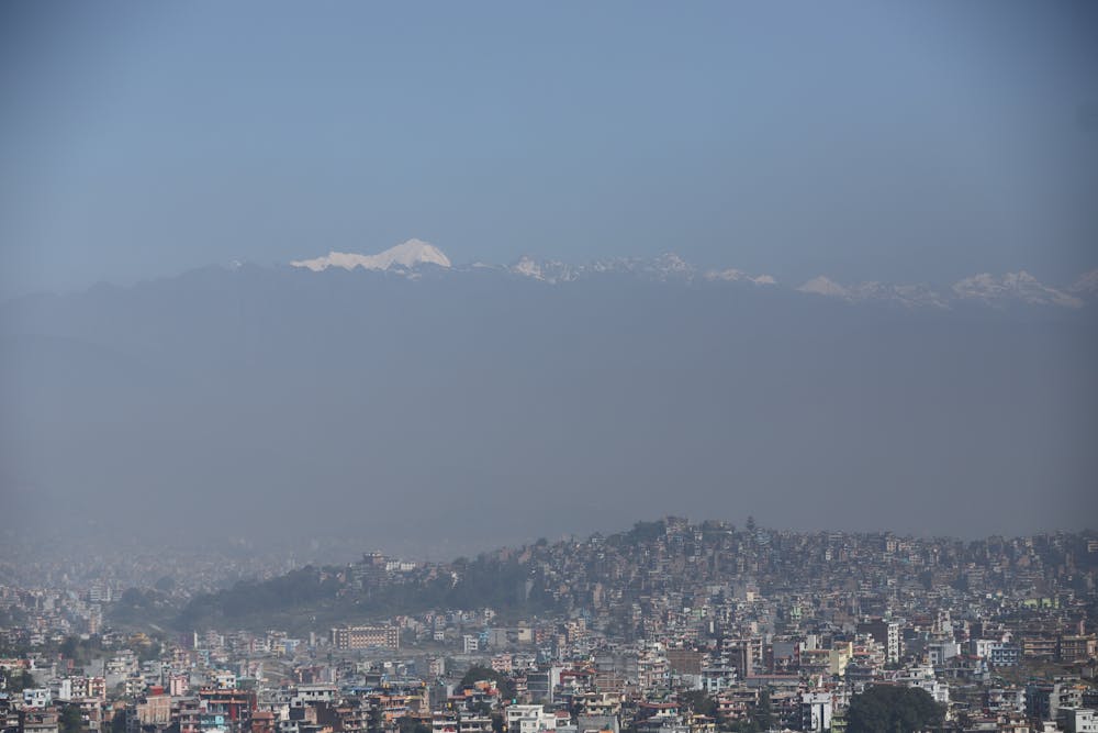
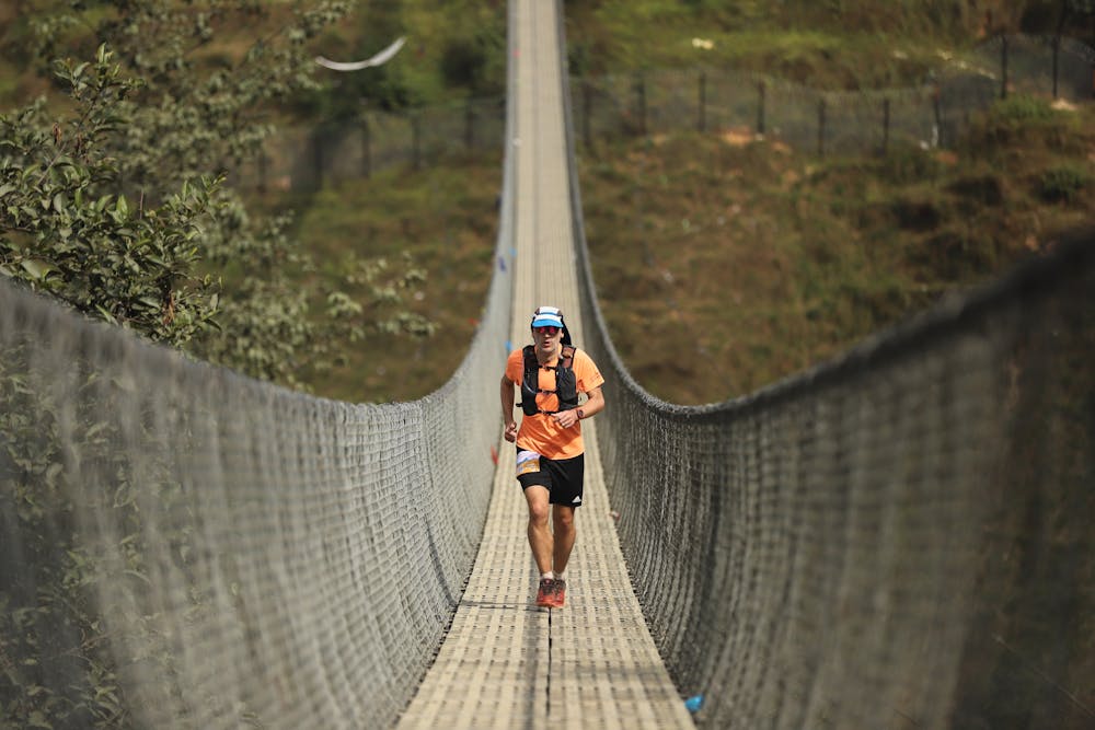
The Manjushree trail covers a total distance of 165km, with an incline of 9000 meters across the seven peaks surrounding the valley (Jamacho, Shivapuri, Nagarkot, Pulchowki, Champadevi, Basmandur and Chandragiri). Runners encounter dense forests and the occasional view of Nepal’s capital from the exposed ridges and peaks.
Trail Running Moderate
- Distance
- 164 km
- Ascent
- 8 km
- Descent
- 8 km
- Duration
- 1 day +
- Low Point
- 1.2 km
- High Point
- 2.7 km
- Gradient
- 14˚

The Kathmandu Valley Rim 100 miler is named after the god Manjushree. According to the legend, It is believed that Manjushree arrived at the edge of the valley while on a pilgrimage, encountering a large lake that once filled the valley. Upon arrival, the god saw a lotus flower in the center of the lake, which emitted brilliant radiance. Having walked around the valley rim, the god reached Chovar, where Manjushree used its flaming sword to cut a gorge, allowing the lake to drain and the Kathmandu valley to appear. The place where the lotus flower settled allegedly became the Swayambhunath Stupa and with the valley being no longer underwater, it became habitable and Kathmandu was founded. This has left Manjushree in a way to be the patron of the valley and left tales of the route the god walked before cleaving the rim and allowing the land to emerge.
- •
- •
- •
- •
- •
- •
- •
Description
There are different opinions on what the exact route is that Manjushree traveled and so the Manjushree trail race is in no way trying to exactly replicate this or claiming to be a pilgrimage in any way. Rather than that, it is inspired by the legend and therefore has chosen to honor this in its name and logo.
Difficulty
Moderate
Medium Exposure

The trail contains some obstacles such as outcroppings and rock which could cause injury.
Remoteness

Close to help in case of emergency.