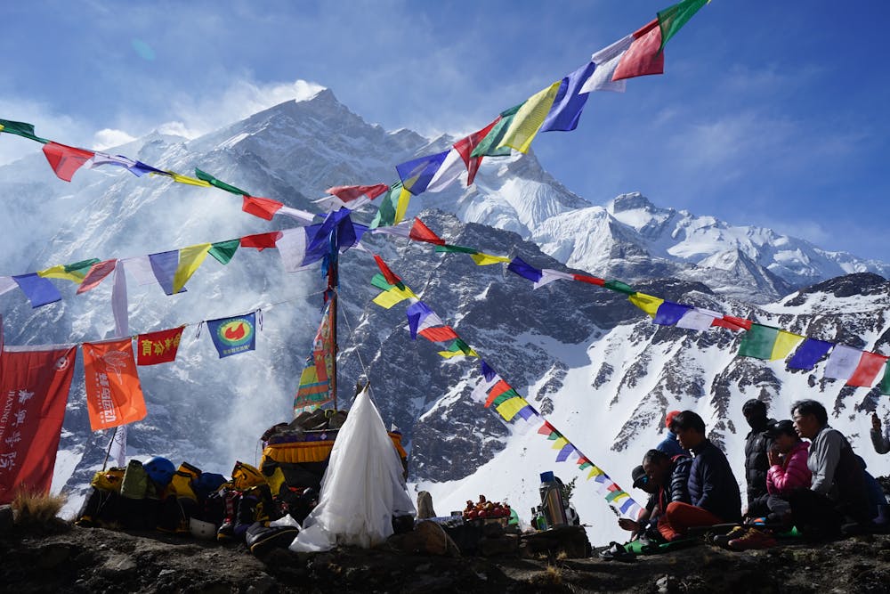
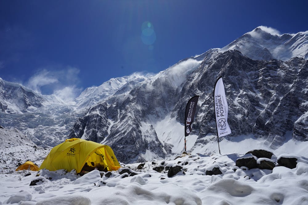
Annapurna Summit push!
South Annapurna
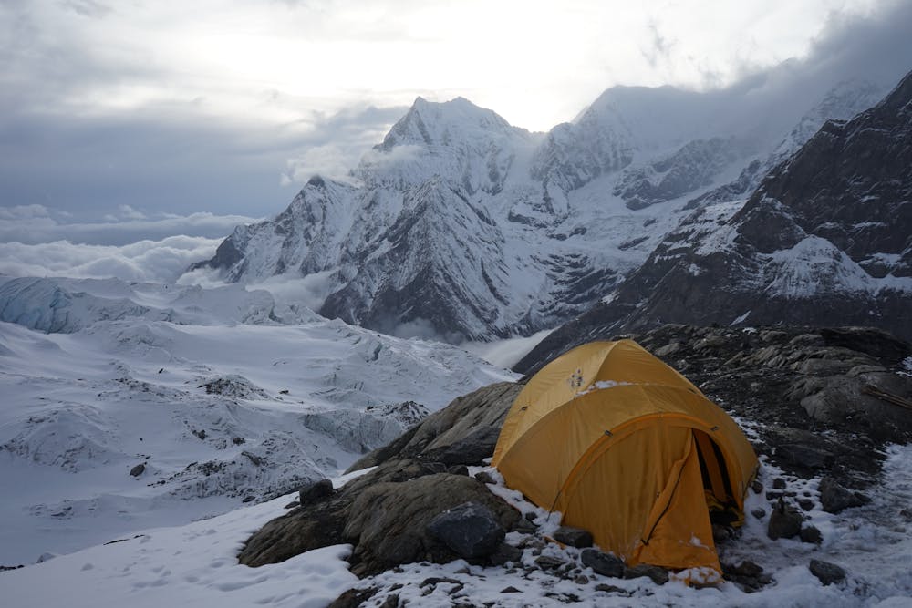
After spending several weeks slowly acclimatising on the mountain, we are making our final push for the summit. Usually a trek to a higher altitude would be considered pretty strenuous but because we had acclimatised out bodies had adjusted and it was ok. A rather daunting send off, Annapurna has a fatal reputation.
Alpine Climbing Moderate
- Distance
- 4.6 km
- Ascent
- 922 m
- Descent
- 53 m
- Low Point
- 4.2 km
- High Point
- 5.1 km
- Gradient
- 25˚

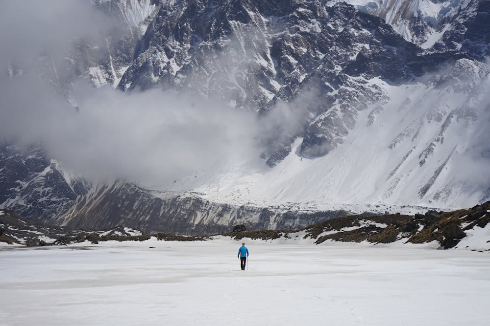
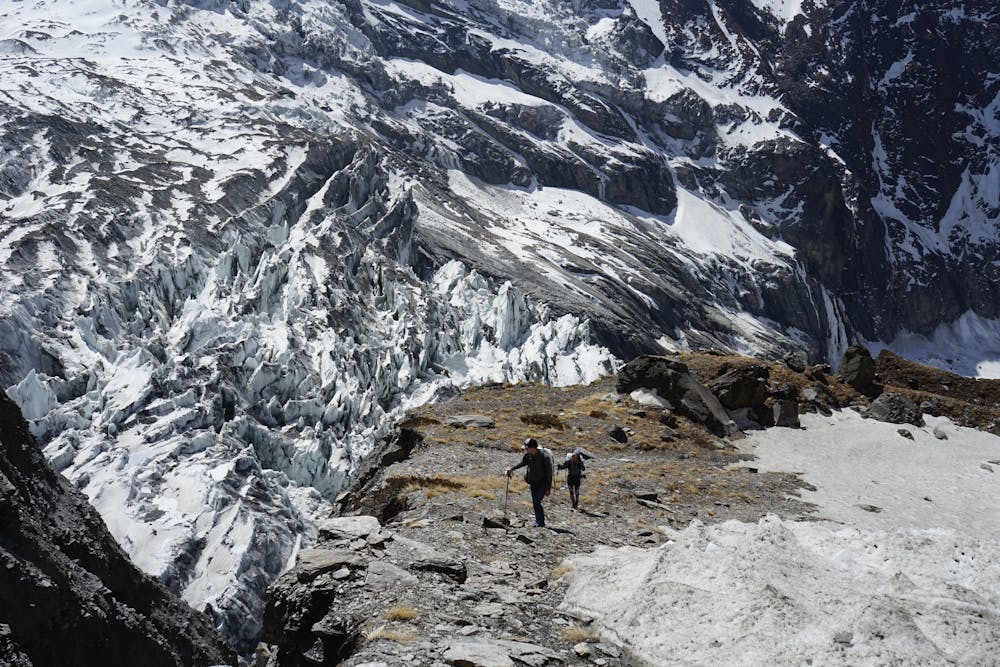
The route from Basecamp to Camp 1 is pretty simple but the risks come from unexpected avalanches. This is a very real threat. As you can see, the route is surrounded by very steep mountains and any ice or rock fall is likely the hit the route. Once you step on the glacier you notice how dangerous it really is as the route is littered with recent avalanche debris. This either comes from the mountains around or the glacier above.
- •
- •
- •
- •
- •
- •
Description
The route up was fine but on the decent we heard many avalanches. Because it was late in the evening and visibility was very low, we could not see how close they were but they felt very close. It was a very nerve-racking descent!
Difficulty
Moderate
May involve slightly more complex glacier hikes, easy but possibly long rock ridges and steep snow up to 45 degrees. Equivalent to PD, PD+
Low Exposure

The route is well protected or easy enough that protection is not required.
Remoteness

Little chance of being seen or helped in case of an accident.
Equipment required
- Ice axe
- Crampons
- Glacier kit