5 m away
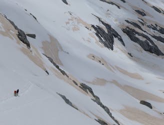
Glacier Dome
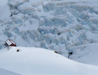
A popular training route
Easy Alpine Climbing
- Distance
- 2.7 km
- Ascent
- 242 m
- Descent
- 242 m
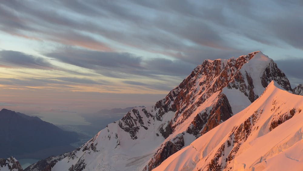
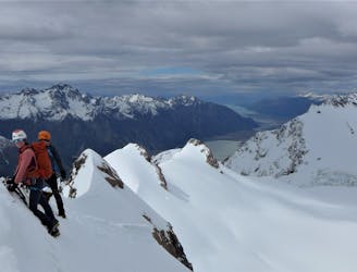
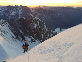
The classic route up Aoraki
Alpine Climbing Difficult

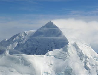
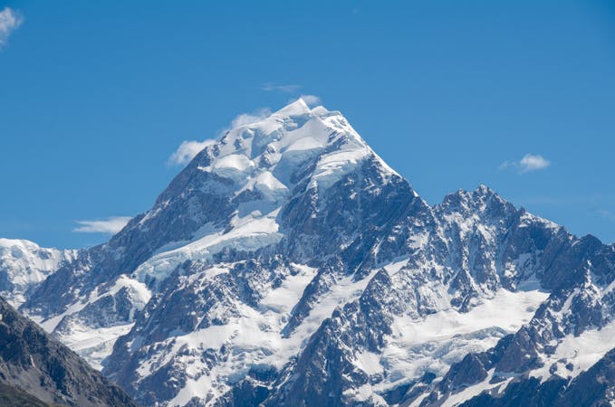
Aoraki, at 3,724m, is the highest mountain in New Zealand and an imposing feature from the Plateau hut. The mountain used to look slightly different and be marginally higher but a huge rockfall from the East face in 1991 changed the peak forever. Its ascent, though never technically very difficult, is serious, committing and long with the same terrain in descent. It should not be underestimated and most teams should anticipate a 12-16 hour day in good conditions. Check conditions with a local mountain guiding company or in the Department of Conservation office in Mount Cook village when you book your stay at the Plateau hut.
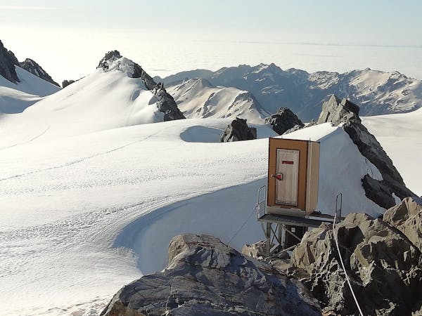
Most teams leave the Plateau hut at around midnight to 1am. Cross the glacier and begin to ascend the Linda Glacier, being careful to stick to the east side of the glacier where possible to avoid serac danger.
Continue up the glacier until a steepening leads you to an exposed and rising traverse along the ramp leading towards the north east ridge. A steep snow gully, just before the ridge, with fixed anchors in the side, leads in two 60m pitches to a saddle and the ridge proper. Above you lie the summit rocks.
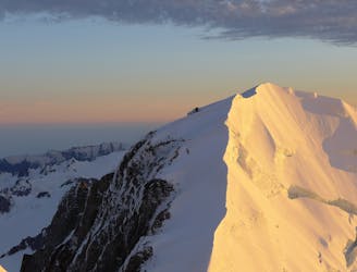
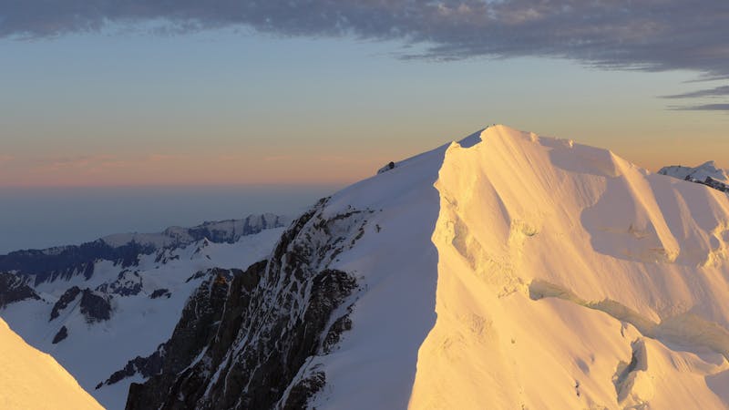
A series of short 30m pitches between bolted anchors (the abseil points on descent) lead you to an ease in the ridgeline where you can move together towards the summit several hundred metres above. The summit itself is staggeringly beautiful and while there is still the (long and involved) descent still to come, take a moment to enjoy being on this hallowed peak.
On the descent, be mindful of the "Gunbarrel" which, once the sun has hit it, is known to discharge ice regularly onto the Linda Glacier and is therefore not a place to hang around.
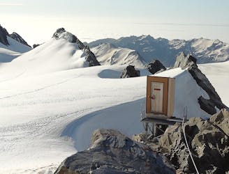
Upon arriving back at the Plateau hut, savour your achievement, grab some dinner and collapse into bed - you've earned a rest!
Difficult
The beginning of truly technical terrain which might involve pitched climbing on rock and/or ice, exposed terrain and complex route finding in ascent and descent. Equivalent to AD, AD+

Much of the route is difficult to protect and a fall could be disastrous at certain points.
Little chance of being seen or helped in case of an accident.
5 m away
A popular training route
Easy Alpine Climbing
12 m away
Exposed ridgelines and outstanding views
Moderate Alpine Climbing
5.8 km away
A rightly popular New Zealand 3,000er
Moderate Alpine Climbing
5.8 km away
A remote summit with stunning views
Moderate Alpine Climbing
5.8 km away
A spectacular glacier journey
Easy Alpine Climbing
5.8 km away
A remote and exposed ridge traverse to a perfect summit
Difficult Alpine Climbing
9.3 km away
A gorgeous high glacier traverse
Easy Alpine Climbing
9.3 km away
A remote summit in the heart of the Southern Alps
Moderate Alpine Climbing
4 routes · Alpine Climbing
10 routes · Alpine Climbing · Hiking
11 routes · Alpine Climbing · Hiking