5 routes · Hiking
A long and varied tramp through a wild, remote valley.
Hiking Difficult

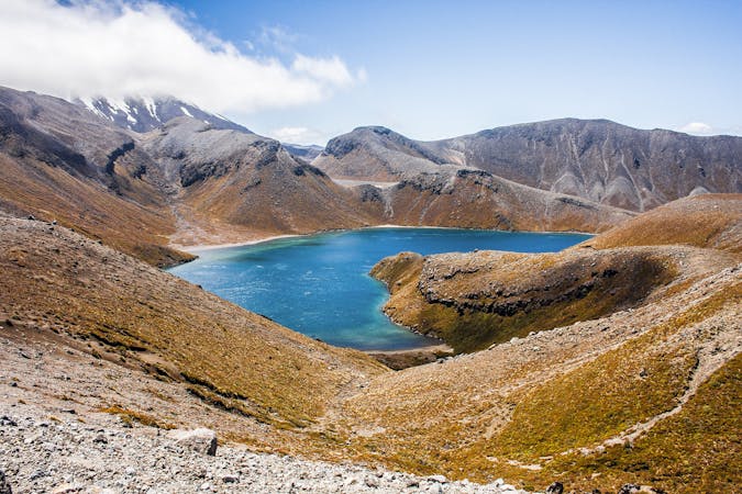
The East Ahuriri Track in Canterbury is one of the Te Araroa’s more remote and demanding sections. Starting at the beautiful lake Ohau, you climb steeply up 800m over the Ohau Range and down to the Ahuriri Valley. You then ford the Ahuri River and follow it downstream until the valley opens out into wild open plains.
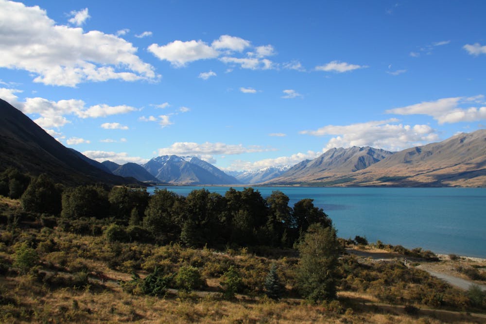
Along the hike, you get deep into birch and pine forests and pass by swamps, lakes, and waterfalls in the Ruataniwha and Ahuriri Conservation Parks. So it definitely has the most important quality for a long hike: lots and lots of variety, making it feel like a real journey and adventure!
Sources
https://www.teararoa.org.nz/canterbury/east-ahuriri-track/ https://www.doc.govt.nz/parks-and-recreation/places-to-go/canterbury/places/ahuriri-conservation-park/things-to-do/tracks/east-ahuriri-track/
Difficult
Hiking trails where obstacles such as rocks or roots are prevalent. Some obstacles can require care to step over or around. At times, the trail can be worn and eroded. The grade of the trail is generally quite steep, and can often lead to strenuous hiking.

The trail contains some obstacles such as outcroppings and rock which could cause injury.

Little chance of being seen or helped in case of an accident.
5 routes · Hiking