Lake Tekapo Cowan’s Hill Walkway
Loop track over Cowan’s Hill, taking in lovely views of Lake Tekapo. Return via the Regional Park, lakeshore and Church of the Good Shepherd.
Hiking Easy
- Distance
- 5.4 km
- Ascent
- 94 m
- Descent
- 94 m
- Duration
- 1-2 hrs
- Low Point
- 711 m
- High Point
- 780 m
- Gradient
- 3˚

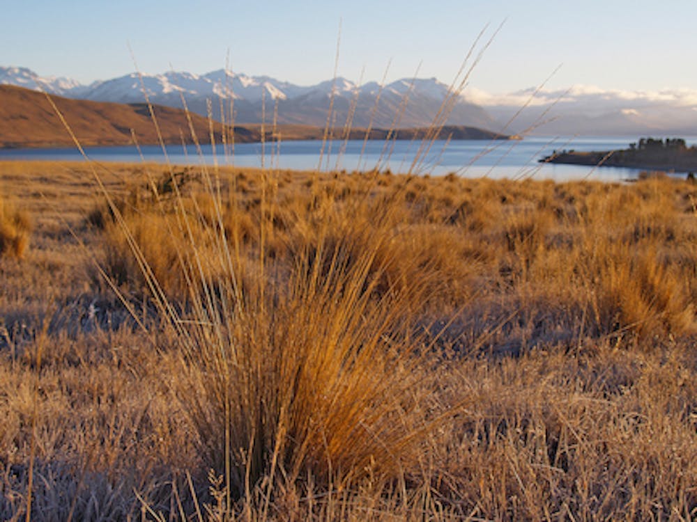
A nice track on its own or a good link from Tekapo township to the Tekapo Regional Park and Lagoon Trail if you're plannng on a longer walk. Great views of the lake and mountains along the way. A cluster of small tarns provide a haven for birds, including the endangered black stilt. Popular, but generally not busy. Start from the Church of the Good Shepherd and follow the eastern edge of the Tekapo River towards the Lake Tekapo Scientific Reserve.
Description
The Cowan's Hill Walkway is part of our "Best Day Hikes & Walking Trails in Tekapo" series: https://alpinerecreation.com/the-best-day-hikes-in-tekapo.html
Difficulty
Easy
Walking along a well-kept trail that’s mostly flat. No obstacles are present.
Low Exposure

The path is on completely flat land and potential injury is limited to falling over.
Remoteness
Close to help in case of emergency.
Best time to visit
Features
- Picturesque
- Family friendly