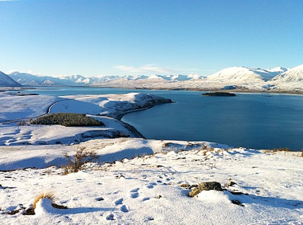
Lake Tekapo Mt John Walkway
Scenic loop track to Mt John summit. Enjoy stunning views over Lake Tekapo and the surrounding peaks.
Hiking Moderate
- Distance
- 7.9 km
- Ascent
- 373 m
- Descent
- 372 m
- Duration
- 2-3 hrs
- Low Point
- 710 m
- High Point
- 1 km
- Gradient
- 10˚

The views of the lake and the surrounding mountains from Mt. John summit are spectacular. Start from the Tekapo Alpine Springs carpark and walk up an initially steep gravelled road until you reach the trees. The track then climbs up through larch and pine forest with a few zig-zags. The final push to the summit provides stunning views over the Mackenzie Basin and deep turquoise blue of Lake Tekapo. Enjoy a coffee and cake from the cafe at the top, while you take in 360º panoramic views. Return the same way or do a longer loop, heading north-east from the cafe, over the South Summit and along a terrace above the lake shore. This is a very popular trail during the summer months, so expect to encounter others.
Description
This track is part of our "Best Day Hikes & Walking Trails in Tekapo" series: https://alpinerecreation.com/the-best-day-hikes-in-tekapo.html
Difficulty
Moderate
Hiking along trails with some uneven terrain and small hills. Small rocks and roots may be present.
Medium Exposure

The trail contains some obstacles such as outcroppings and rock which could cause injury.
Remoteness

Close to help in case of emergency.
Best time to visit
Features
- Picturesque
- Summit Hike