1.8 km away
Paretetaitonge South face to Mangaturituri Basin
A sweet and long descent down the West side of Mount Ruapehu
Difficult Ski Touring
- Distance
- 11 km
- Ascent
- 1.5 km
- Descent
- 1.5 km
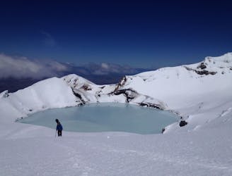
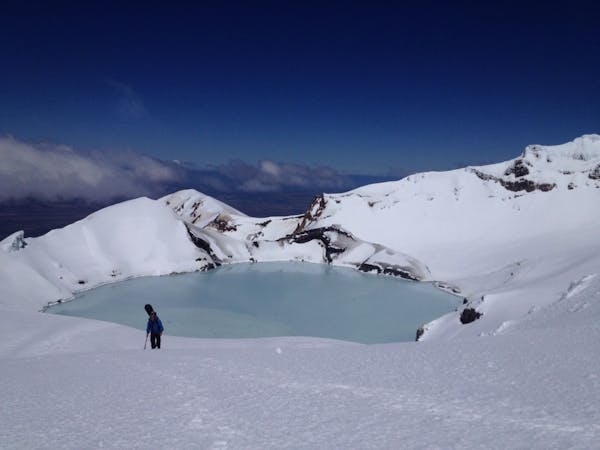
Easy route from top Turoa skifiled to the crater lake area.
Ski Touring Moderate

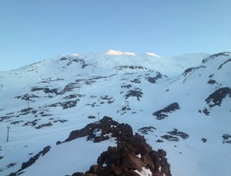
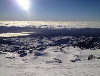
This is a popular ski touring route which is generally considered to be moderate. It's not remote, it features low exposure (e1) and is typically done between July and October. From a low point of 1.6 km to the maximum altitude of 2.7 km, the route covers 11 km, 901 vertical metres of ascent and 1315 vertical metres of descent. It's graded 1.2 and Labande grade 1. You'll need skins to complete it safely.
Easy skin up from the western traverse from top of Turoa. Great in spring ideally enough snow o ski out to base
Moderate
Slopes become slightly steeper at around 25-30 degrees.

Exposure is limited to that of the slope itself. Getting hurt is still likely if the slope is steep and/or the snow is hard.
Close to help in case of emergency.
1.8 km away
A sweet and long descent down the West side of Mount Ruapehu
Difficult Ski Touring
6.8 km away
Riding down the Northern aspect of Mount Ruapehu
Moderate Ski Touring
6.9 km away
A thorough exploration of Mount Ruapehu
Difficult Ski Touring
3 routes · Ski Touring