Elevator
The classic of the Alta Chutes, which can sometimes make Elevator over-popular.
Difficult Freeride Skiing
- Distance
- 1.5 km
- Ascent
- 72 m
- Descent
- 271 m
An awesome hidden gem of a couloir!
Freeride Skiing Severe

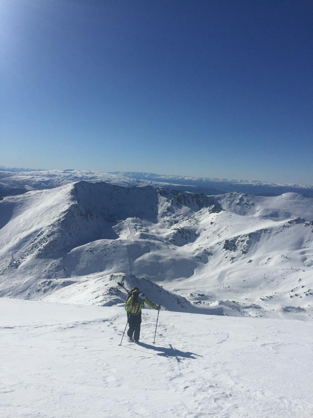
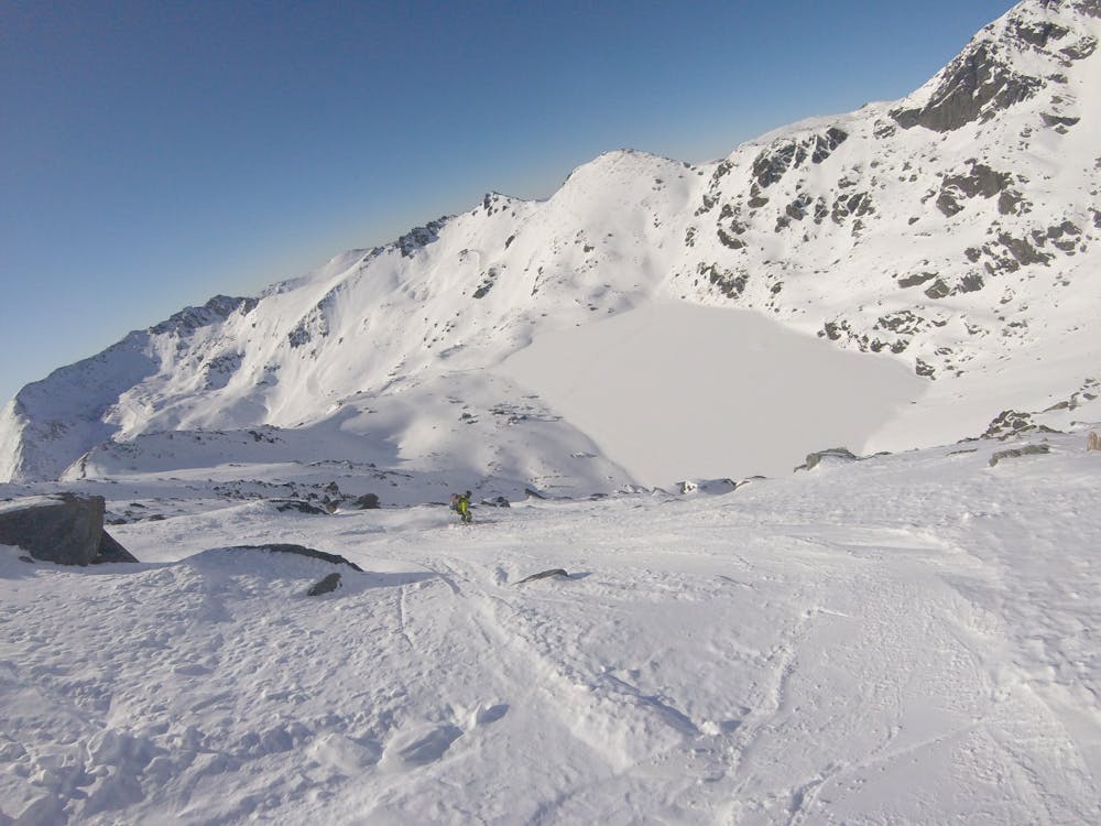
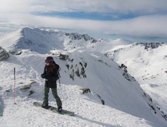
The Remarkables plays host to some fantastic chutes that are found nestled on the ridge on the southern side of the Shadow Basin Chairlift that leads down east from the weather station, looking out directly towards the north face of Double Cone. Frequently used as the location for the Freeride World Tour, this area gives some of the best freeride terrain in the area.
Given the fact that they are only a short hike from the top of Shadow Basin and that they are within the resort boundaries (when patrol have opened them), this means that the Alta Chutes see a lot of traffic of varying ability levels. Be aware that there are some people skiing in resort and have little consideration for avalanche safety or safe travel practices, and don’t be surprised if someone knocks a load of sluff down on top of you within these chutes!
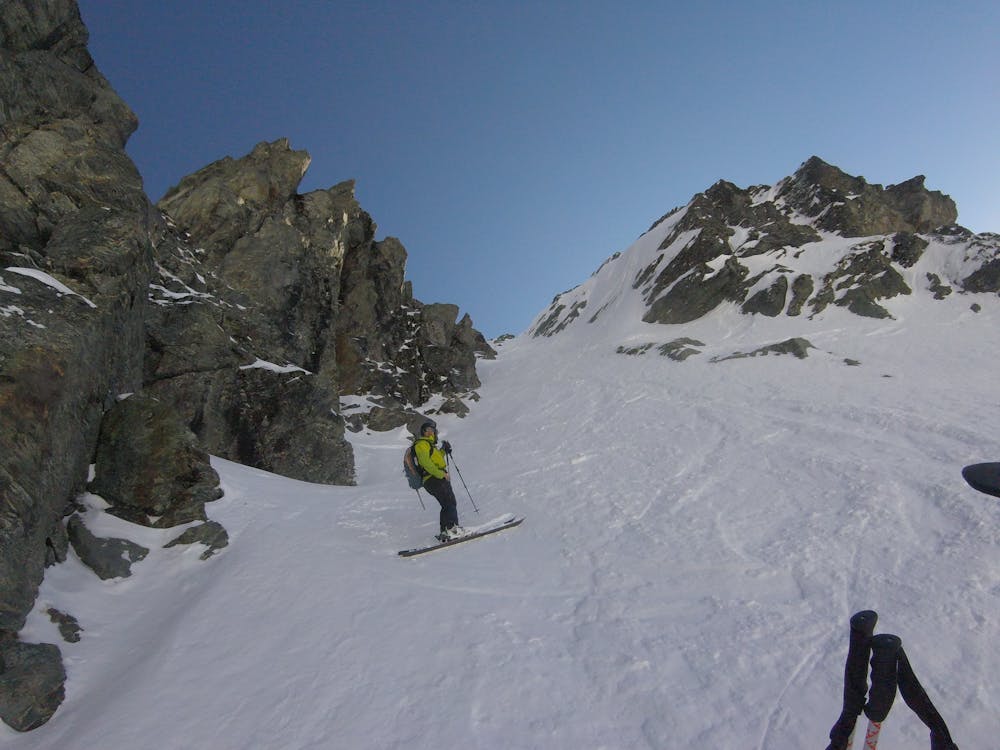
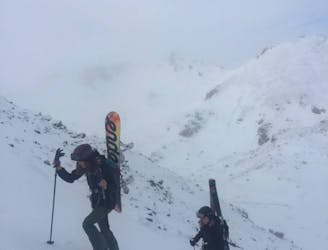
From the top of the Shadow Basin Chairlift, take your skis/board off and bootpack up towards the ridgeline that is ahead of you to your south east, you should pass a resort boundary gate and there should already be a track set from patrol securing the chutes each morning. Elevator, Escalator and Alta Chutes are all accessible from this ridgeline.
Diangulator can be found by hiking the same track as the rest of the chute, up to the top of Elevator. Once at the top of Elevator, keep climbing steeply up the ridge until you reach the base of the weather station where you can attach your skis and get ready for this awesome descent!
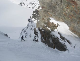
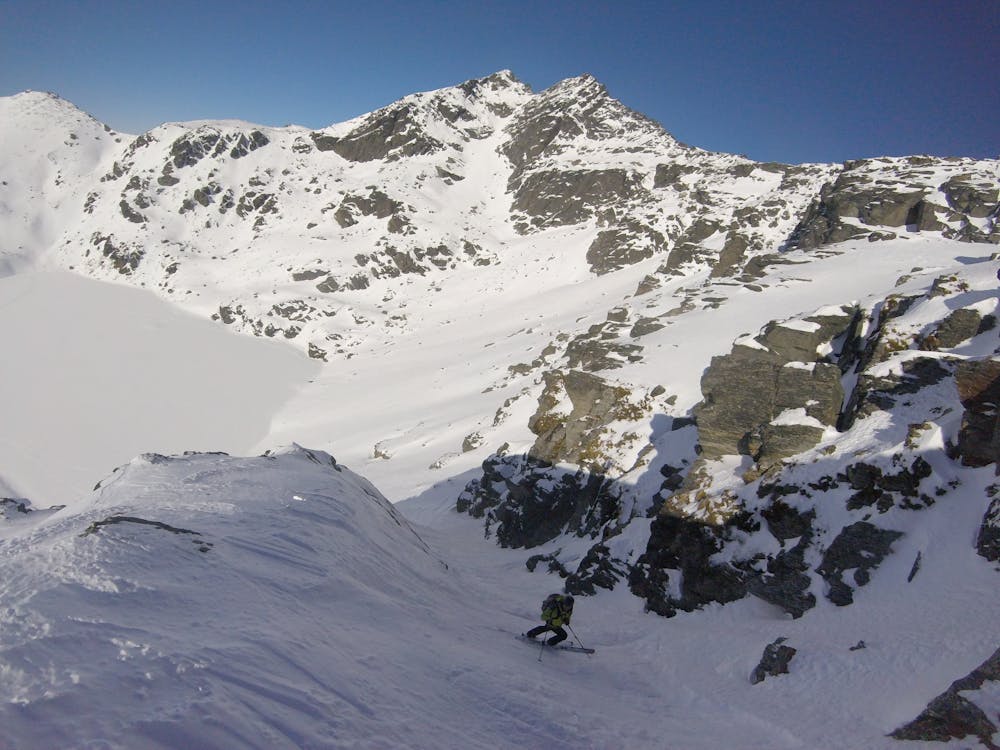
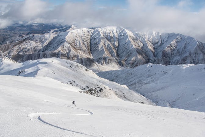
The descent starts by skiing a fairly exposed ramp through a rock garden, make sure you’re 100% certain of snow conditions here as a slide over the cliffs below would be nasty.
Once coming towards the end of the ramp, you need to pick your way through the rocks in a southerly direction to reach a fairly steep and narrow couloir.
Once out of the chutes, a simple westerly traverse (snowboarders stay high) is needed to be made before you reach Lake Alta to make your way back to the pistes and reach the lifts for another lap of these awesome chutes!
Severe
Steep skiing at 38-45 degrees. This requires very good technique and the risk of falling has serious consequences.

As well as the slope itself, there are some obstacles (such as rock outcrops) which could aggravate injury.
Away from help but easily accessed.
The classic of the Alta Chutes, which can sometimes make Elevator over-popular.
Difficult Freeride Skiing
The middle Alta Chutes, much quieter than its neighbours
Difficult Freeride Skiing
The easiest of the Alta Chutes - a great introduction to the area.
Difficult Freeride Skiing
10 routes · Freeride Skiing · Ski Touring