2.2 km away
Mount Crichton Loop Track

Great views, waterfalls and local history combine to make this family-friendly hike a popular one in Queenstown.
Easy Hiking
- Distance
- 7.6 km
- Ascent
- 320 m
- Descent
- 320 m
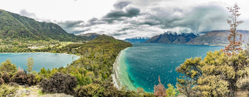
A gentle trail that follows the shoreline of Lake Wakatipu as it winds its way towards a secluded cove.
Hiking Easy

An easy hike for the walkers of all ages, the Bob's Cove Track starts from the car park just after 14km on the Glenorchy–Queenstown Road.
Dropping down through native bushland, Bob's Cove Track follows the shoreline of Lake Wakatipu towards Bob's Cove. If this is as far as you are planning to go, then it's a great spot for swimming and fishing. For those wanting to go a bit further, the trail loops around the headland, with a short climb that offers some great views out over the lake.
There are options for detours, and to extend the hike out to 12km campground, or you can simply enjoy a swim in the lake!
Easy
Walking along a well-kept trail that’s mostly flat. No obstacles are present.

Close to help in case of emergency.
2.2 km away
Great views, waterfalls and local history combine to make this family-friendly hike a popular one in Queenstown.
Easy Hiking
7 routes · Hiking