2.2 km away
Bob's Cove Track
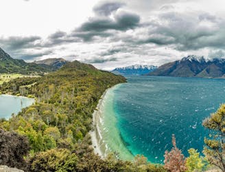
A gentle trail that follows the shoreline of Lake Wakatipu as it winds its way towards a secluded cove.
Easy Hiking
- Distance
- 3.6 km
- Ascent
- 93 m
- Descent
- 93 m
Great views, waterfalls and local history combine to make this family-friendly hike a popular one in Queenstown.
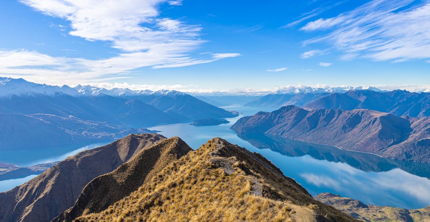
Hiking Easy

A local favourite, the Mount Crichton loop offers a good day hike for walkers of all ages. Starting at the car park some 12km from Glenorchy-Queenstown Road, this well-marked trail follows Twelve Mile Creek before climbing up through red beech gullies, before climbing through a range of local flora.
A well-marked trail, there are plenty of viewpoints out over Lake Wakatipu, before the trail circles back to Twelve Mile Creek. Crossing the river, keep an eye out for a side trail to Sam Summers Hut - a gold prospectors hut built in the 1930s. There's plenty to investigate along this part of the trail, from the hut to waterfalls and an old gold mining tunnel (still safe to explore).
The trail then skirts Twelve Mile Creek as it winds its way back towards the car park.
Easy
Walking along a well-kept trail that’s mostly flat. No obstacles are present.

Close to help in case of emergency.
2.2 km away
A gentle trail that follows the shoreline of Lake Wakatipu as it winds its way towards a secluded cove.
Easy Hiking
7 routes · Hiking