9.9 km away
Devils Creek Track (with Shotover River detour)

A fantastic hike over the top of Mount Dewar with an optional detour via to Shotover River.
Moderate Hiking
- Distance
- 17 km
- Ascent
- 1.1 km
- Descent
- 1.3 km
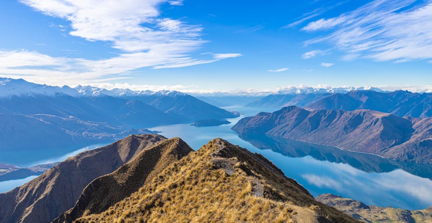
Multi-day hike from Arrowtown to Glendhu Bay
Hiking Difficult

This is a popular hiking route which is generally considered to be difficult. It's remote, it features low exposure and is typically done between October and June. From a low point of 341 m to the maximum altitude of 1.3 km, the route covers 46 km, 3087 vertical metres of ascent and 3159 vertical metres of descent.
A sub-alpine and somewhat difficult, yet non-technical hike
Difficult
Hiking trails where obstacles such as rocks or roots are prevalent. Some obstacles can require care to step over or around. At times, the trail can be worn and eroded. The grade of the trail is generally quite steep, and can often lead to strenuous hiking.

The path is on completely flat land and potential injury is limited to falling over.

Away from help but easily accessed.
9.9 km away
A fantastic hike over the top of Mount Dewar with an optional detour via to Shotover River.
Moderate Hiking
7 routes · Hiking