7.4 km away
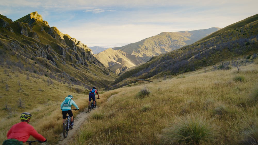
The Dirty 4 Route

One of the most epic mountain bike descents in Queenstown!
Difficult Mountain Biking
- Distance
- 12 km
- Ascent
- 19 m
- Descent
- 1.2 km
50km Backcountry singletrack
Mountain Biking Moderate

50km circuit from Arrowtown, taking in some epic terrain behind Coronet Peak. Best ridden clockwise, climbing Bush Creek and over the Coronet Face Water Race to the Coronet Pea Road/Skippers Saddle. Descend Pack Track and Sack (grade 4/5), before turning right to climb Greengate Saddle and into Deep Creek. Sidle past Picnic Rock, Easter Island and over Deep Creek saddle. Descend down Eight Mile Creek to meet the Macetown Track and return to Arrowtown via the Arrow Gorge Trail
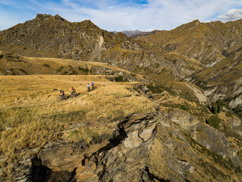
Moderate
Mostly stable trail tread with some variability, with unavoidable obstacles 8in/20cm tall or less. Other obstacles such as rock gullies and steep sections may exist. Ideal for lower intermediate riders.

Some trail sections have exposed ledges or steep ascents/descents where falling could cause serious injury.
Little chance of being seen or helped in case of an accident.
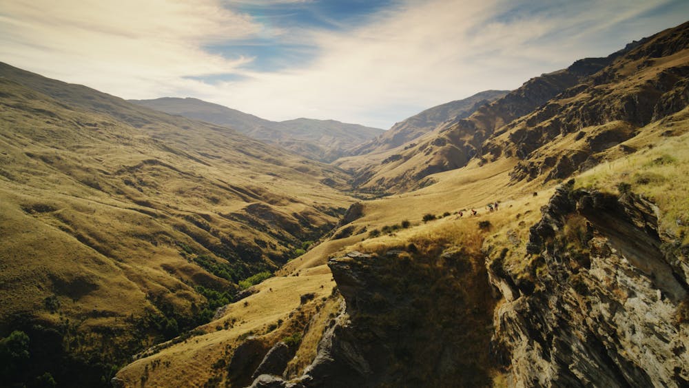
7.4 km away
One of the most epic mountain bike descents in Queenstown!
Difficult Mountain Biking
9 km away

Ride the most quintessential Queenstown trail as a loop.
Difficult Mountain Biking