6.4 km away
Conical Hill
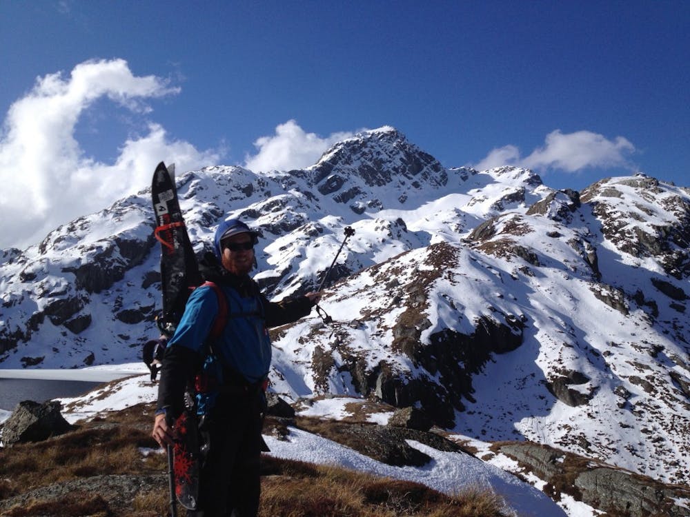
A scenic ski tour from the Routeburn Hut
Moderate Ski Touring
- Distance
- 28 km
- Ascent
- 1.8 km
- Descent
- 1.8 km
Another great ski tour off the Routeburn Track
Ski Touring Difficult

This is one of those tours that is mixes stunning terrain with a small bit of technical challenge. Being that it is within the Routeburn area you should be sharing the hut with other people but you will probably have the high alpine all to yourself. There are two small cruxes to this trip but it is a great ski tour if you have a full day to spare while based out of the Routeburn Falls Hut.
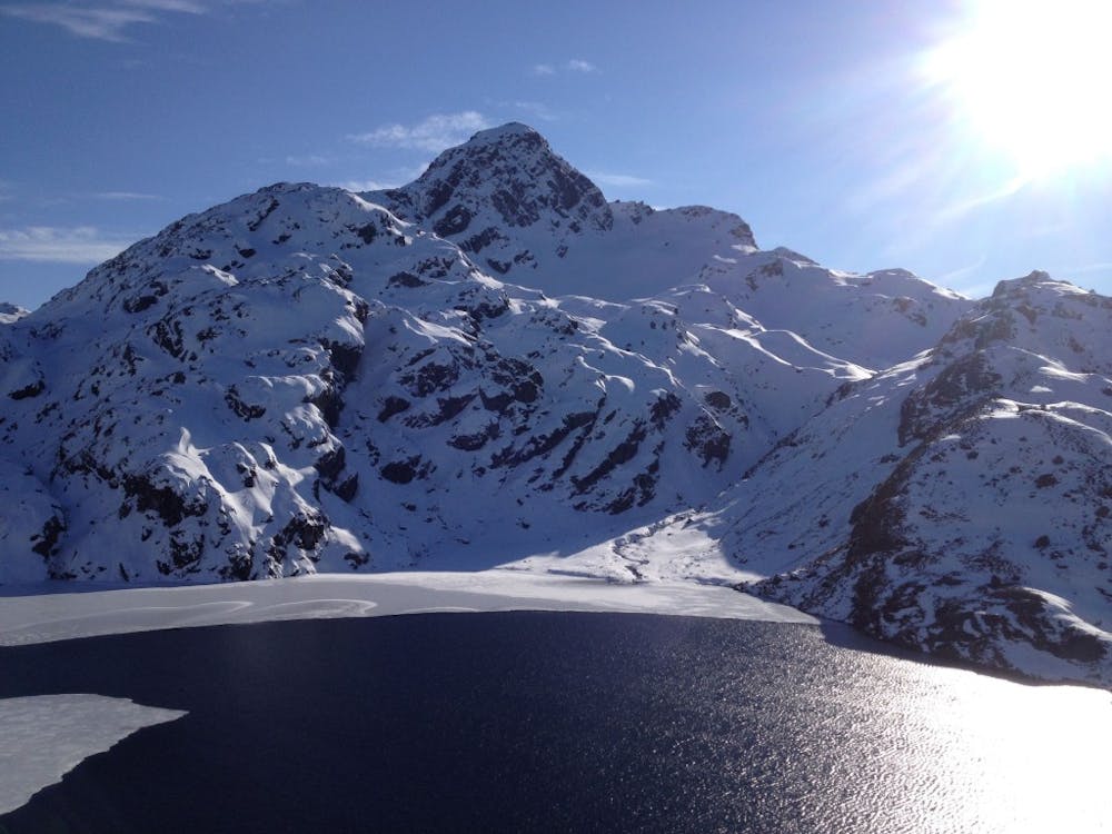
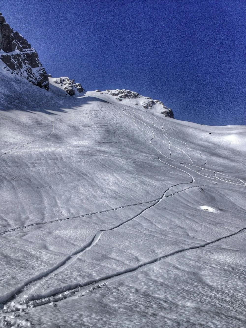
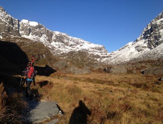
Starting on the East side of the Routeburn track make your way up to the Routeburn Falls Hut. Since this ski tour will take around 5 hours make sure you have more than enough daylight to make this trip happen. Leaving the shelter make your way into the high alpine following the main trail until around 1200 meters. From here make your way over to the eastern shores of Lake Harris where you will need to cross it, this is an easy crossing but make sure to take your boots off before crossing. Once past the outflow of the lake make your way across the shores until your in the Southwest basin of Xenicus Peak where you need to start gaining elevation.
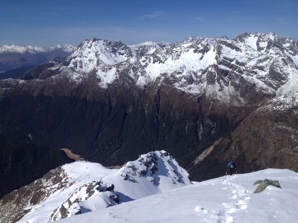
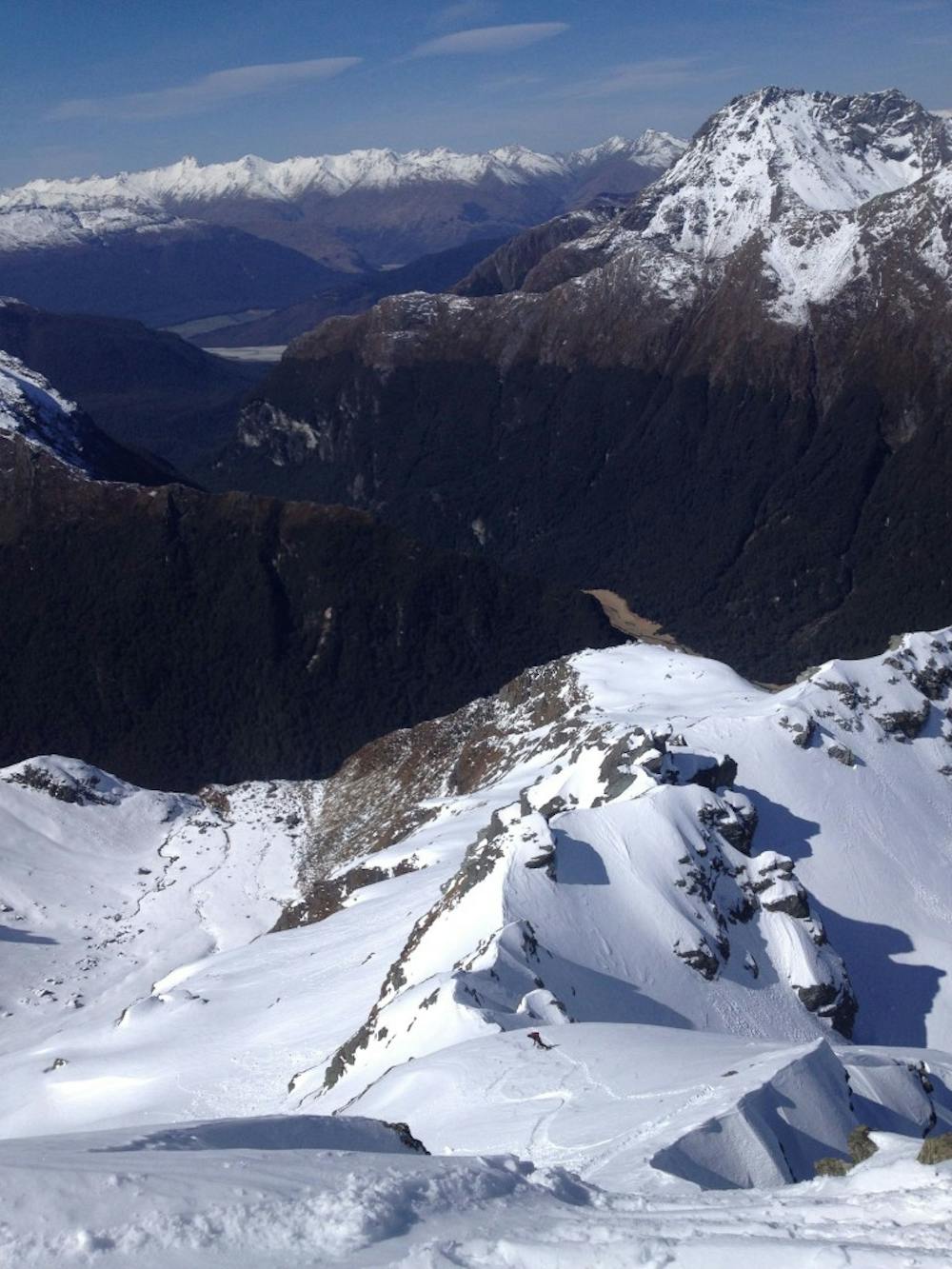
Climbing up is simple and straightforward until arriving at the Southeast ridge of Xenicus Peak. Arriving on the high ridge you have a jaw dropping view to the East making your way towards the true summit. Before long you will have to traverse a few meters into the Eastern bowl and start climbing up the face. Using your crampons be extra careful not to slip but with a few well placed steps soon enough you will be on the summit of Xenicus Peak. Now it is time to retrace your steps all the way back down to the Routeburn Hut. If it is a big snow year you could do a detour and head down the south face all the way into the valley but it wasn’t the case for us.
For more pictures and the full story check out this link https://www.whereiskylemiller.com/new-zealand/routeburn-track/
Difficult
Serious gradient of 30-38 degrees where a real risk of slipping exists.

As well as the slope itself, there are some obstacles (such as rock outcrops) which could aggravate injury.
Away from help but easily accessed.
6.4 km away
A scenic ski tour from the Routeburn Hut
Moderate Ski Touring