Bush Creek Trail - Arrowtown
Queenstown
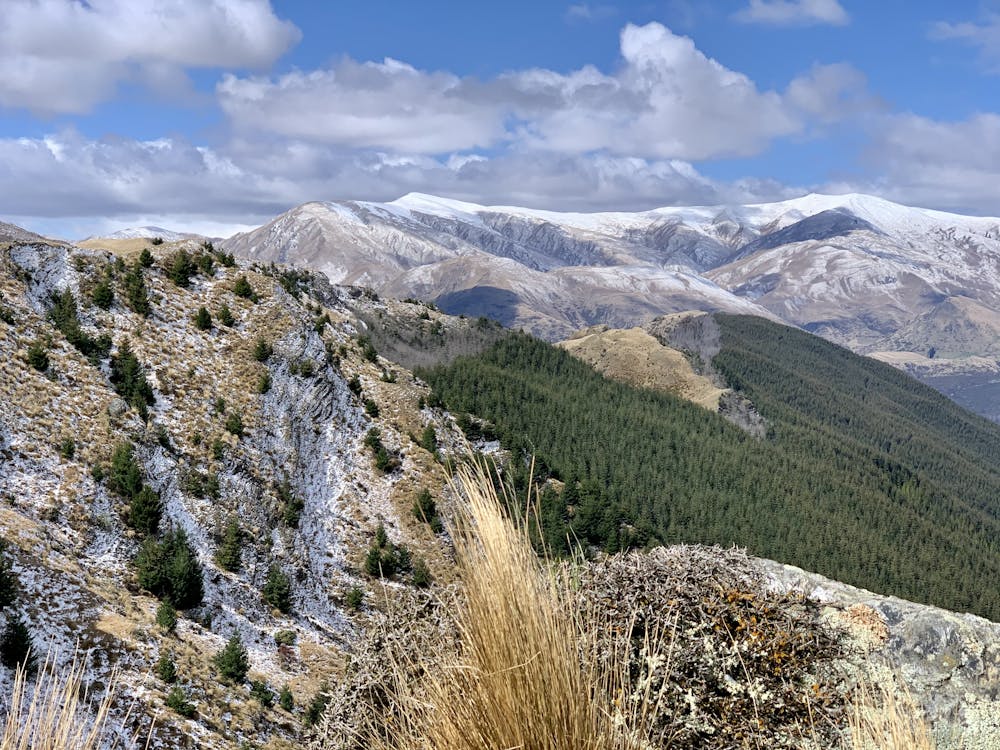
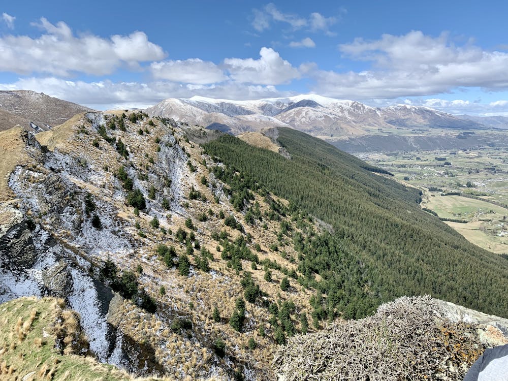
Hidden valley with alpine streams and views
Trail Running Moderate
- Distance
- 14 km
- Ascent
- 465 m
- Descent
- 466 m
- Duration
- 2-3 hrs
- Low Point
- 410 m
- High Point
- 809 m
- Gradient
- 6˚

This is a popular trail running route which is generally considered to be moderate. It's remote, it features medium exposure and is typically done between September and May. From a low point of 410 m to the maximum altitude of 809 m, the route covers 14 km, 465 vertical metres of ascent and 466 vertical metres of descent.
- •
- •
- •
Description
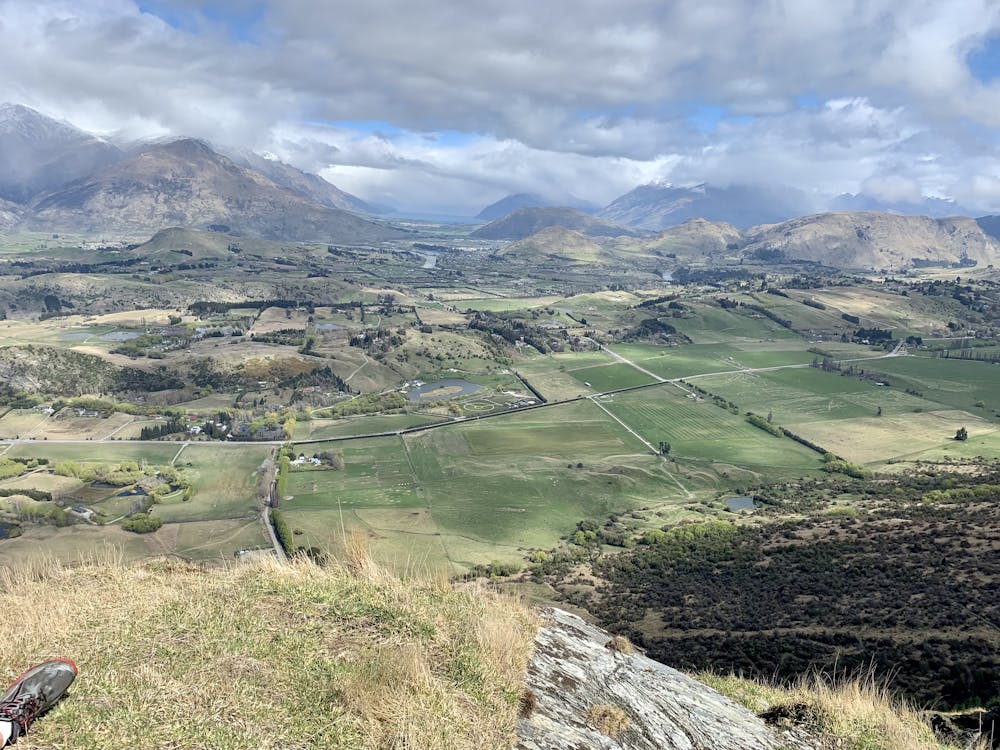
Remote Valley 14 km return with alpine vistas and streams and a rewarding view over the Wakatipu Basin at the 7KM turn-around point
Difficulty
Moderate
Medium Exposure

The trail contains some obstacles such as outcroppings and rock which could cause injury.
Remoteness
Away from help but easily accessed.