26 routes · Hiking · Trail Running
Trail Running in Otago
Go trail running in Otago with curated guides of the best trail runs across the region. With over 77 3D trail maps in FATMAP, you can easily discover and navigate the best trails in Otago.
No matter what your next adventure has in store, you can find a guide on FATMAP to help you plan your next epic trip.
Get a top trail running recommendation in Otago from one of our 8 guidebooks, or get inspired by the 77 local adventures uploaded by the FATMAP community. Start exploring now!
Trail Running Destinations in Otago
Trail Running Routes in Otago
Mt Maude to Isthmus Peak
![Mt Maude to Isthmus Peak](https://fatmap-adventure-screenshots.imgix.net/routes/3166883-blank.png?w=328&h=250&auto=compress%2Cformat)
Gentle farm track with some hairy navigation and scrambling thrown in around Mt Burke
Difficult Trail Running
- Distance
- 33 km
- Ascent
- 2.5 km
- Descent
- 2.5 km
Mount Crichton Loop Track
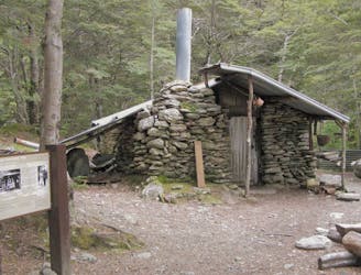
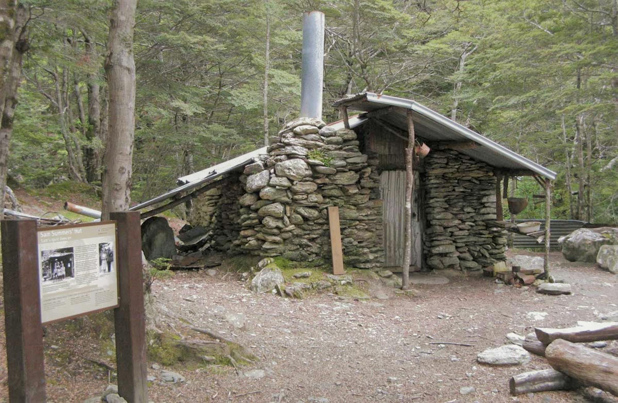
This well formed track features rivers, a waterfall, a historic hut/tunnel, native bush and views
Moderate Trail Running
- Distance
- 7.6 km
- Ascent
- 310 m
- Descent
- 309 m
Moke Lake
![Moke Lake](https://fatmap-adventure-screenshots.imgix.net/routes/2694387-blank.png?w=328&h=250&auto=compress%2Cformat)
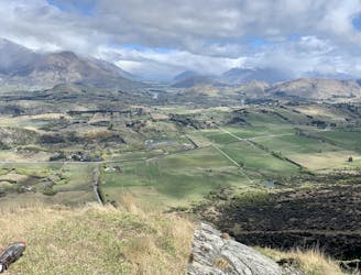
Lakeside trail surrounded by mountains
Moderate Trail Running
- Distance
- 7.4 km
- Ascent
- 173 m
- Descent
- 172 m
Zoot - Pack Track - Mt Dewar
![Zoot - Pack Track - Mt Dewar](https://fatmap-adventure-screenshots.imgix.net/routes/2692504-blank.png?w=328&h=250&auto=compress%2Cformat)
Coronet Peak trails
Difficult Trail Running
- Distance
- 12 km
- Ascent
- 745 m
- Descent
- 762 m
12 Mile Delta - Bobs Cove
![12 Mile Delta - Bobs Cove](https://fatmap-adventure-screenshots.imgix.net/routes/2687848-blank.png?w=328&h=250&auto=compress%2Cformat)
Lakeside trail running - the best!
Easy Trail Running
- Distance
- 12 km
- Ascent
- 341 m
- Descent
- 342 m
Bush Creek Trail - Arrowtown
Hidden valley with alpine streams and views
Moderate Trail Running
- Distance
- 14 km
- Ascent
- 465 m
- Descent
- 466 m
Shotover Moonlight Marathon
![Shotover Moonlight Marathon](https://fatmap-adventure-screenshots.imgix.net/routes/772726-blank.png?w=328&h=250&auto=compress%2Cformat)
Shotover Moonlight Marathon
Difficult Trail Running
- Distance
- 43 km
- Ascent
- 2.4 km
- Descent
- 2.3 km