Mount Crichton Loop Track
Queenstown
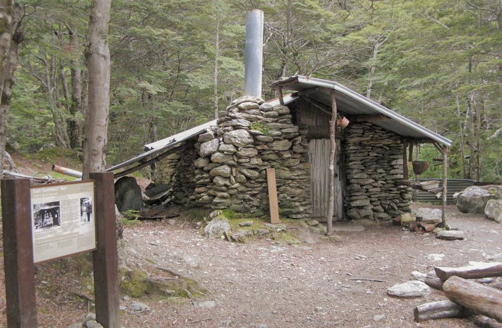
This well formed track features rivers, a waterfall, a historic hut/tunnel, native bush and views
Trail Running Moderate
- Distance
- 7.6 km
- Ascent
- 310 m
- Descent
- 309 m
- Duration
- 1-2 hrs
- Low Point
- 368 m
- High Point
- 625 m
- Gradient
- 8˚

This is a popular trail running route which is generally considered to be moderate. It's not remote, it features medium exposure and is typically done all year round. From a low point of 368 m to the maximum altitude of 625 m, the route covers 7.6 km, 310 vertical metres of ascent and 309 vertical metres of descent.
Description
This well formed track features rivers, a waterfall, a historic hut/tunnel, native bush and views
Difficulty
Moderate
Medium Exposure

The trail contains some obstacles such as outcroppings and rock which could cause injury.
Remoteness

Close to help in case of emergency.