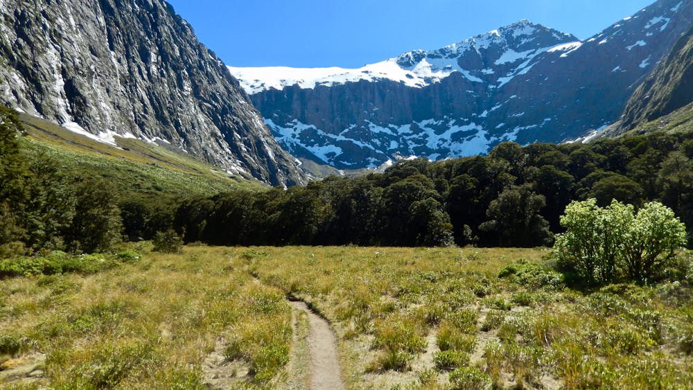
Gertrude Saddle
Fiordland National Park
Milford Track
Dziki Fiordland z oszałamiającymi widoki i niemałą nutką ekspozycji — coś dla obytych w górskim terenie.
Hiking Extreme
- Distance
- 4.1 km
- Ascent
- 650 m
- Descent
- 38 m
- Duration
- 2-3 hrs
- Low Point
- 788 m
- High Point
- 1.4 km
- Gradient
- 19˚

This is a popular hiking route which is generally considered to be extreme. It's very remote, it features high exposure and is typically done between December and March. From a low point of 788 m to the maximum altitude of 1.4 km, the route covers 4.1 km, 650 vertical metres of ascent and 38 vertical metres of descent.
Description
Dziki Fiordland z oszałamiającymi widoki i niemałą nutką ekspozycji — coś dla obytych w górskim terenie.
Więcej na: https://bezsygnalu.pl/gertrude-saddle
Difficulty
Extreme
Scrambling up mountains and along technical trails with moderate fall exposure. Handholds are necessary to navigate the trail in its entirety, although they are not necessary at all times. Some obstacles can be very large and difficult to navigate, and the grades can often be near-vertical. The challenge of the trail and the steepness of the grade results in very strenuous hiking. Hikes of this difficulty blur the lines between "hiking" and "climbing".
High Exposure

Some trail sections have exposed ledges or steep ascents/descents where falling could cause serious injury.
Remoteness
Little chance of being seen or helped in case of an accident.
Best time to visit
Features
- Alpine
- Wildlife
- Picturesque
- Summit Hike
- Wild flowers
- Water features