14 routes · Hiking
Go hiking in Southland with curated guides of the best hikes across the region. With over 13 3D trail maps in FATMAP, you can easily discover and navigate the best trails in Southland.
No matter what your next adventure has in store, you can find a guide on FATMAP to help you plan your next epic trip.
Get a top hiking trail recommendation in Southland from one of our 5 guidebooks, or get inspired by the 13 local adventures uploaded by the FATMAP community. Start exploring now!
14 routes · Hiking
8 routes · Hiking
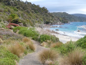
A true island adventure - thick forest, stunning coastline and an abundance of history make the Rakiura Track a beautiful hike through the heart of Stewart Island.
Easy Hiking
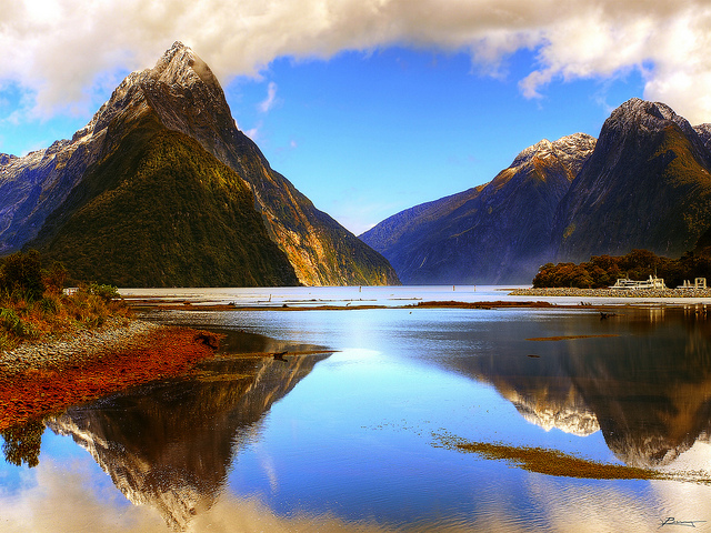
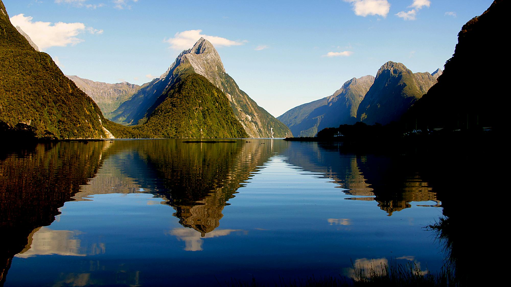
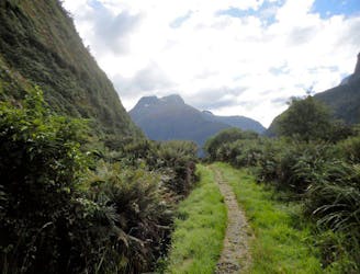
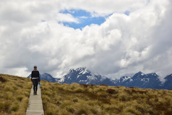
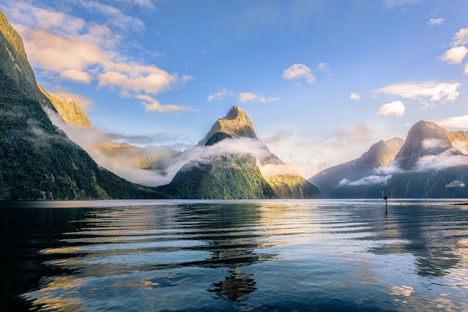
Boasting ancient rainforests, glacial valleys and spectacular views, it's easy to see why the Milford Track is often called the 'the finest walk in the world'.
Moderate Hiking
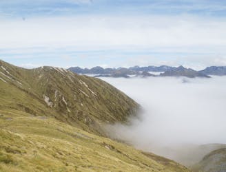
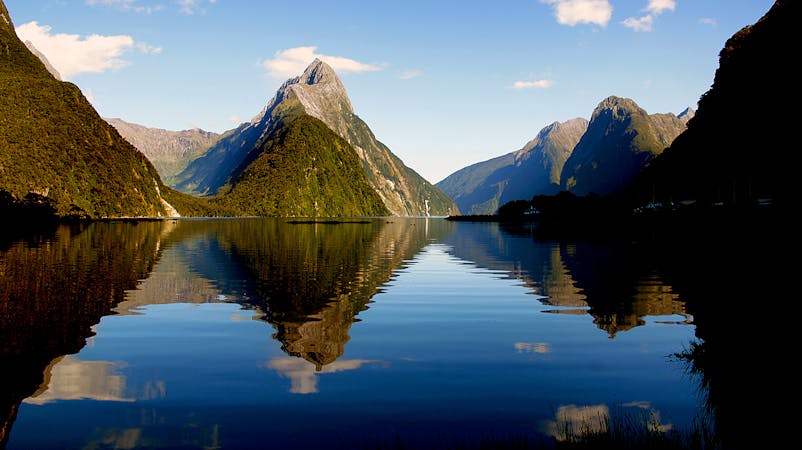
A 60 kilometre loop which passes through some of New Zealand's most impressive scenery (and that's saying something) close to the small town of Te Anau in the Fjordland region of the South Island.
Moderate Hiking
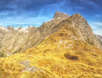
Possibly the most famous hike in The Long of the White Cloud, this is New Zealand at its very finest.
Moderate Hiking
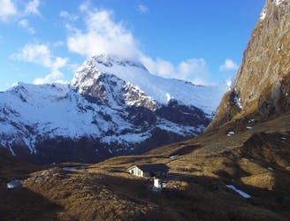
Day 3: Mintaro Hut to Dumpling Hut — 6-7 hours, 14km.
Moderate Hiking
Day 2: Clinton Hut to Mintaro Hut—6 hours, 16.5km.
Moderate Hiking

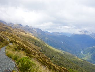
Routeburn Track to górski szlak łączący dwa wyjątkowe parki Narodowe, Fiordland i Mount Aspiring.
Difficult Hiking
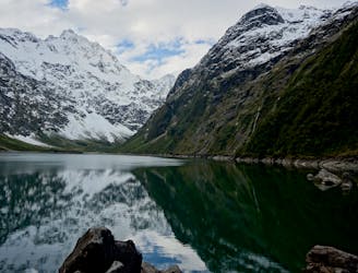
Trekking do stawu otoczonego stromymi zboczami fiordlandzkich gór.
Difficult Hiking
4 routes · Hiking
11 routes · Alpine Climbing · Hiking
10 routes · Hiking
9 routes · Hiking