3.4 km away
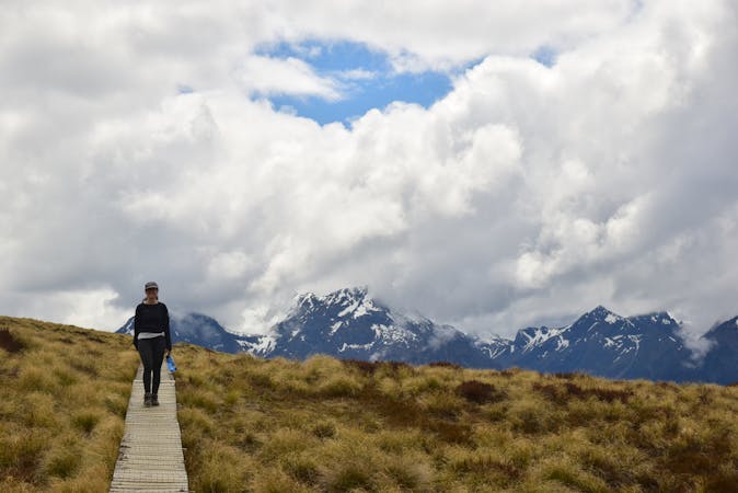
Milford Track

Boasting ancient rainforests, glacial valleys and spectacular views, it's easy to see why the Milford Track is often called the 'the finest walk in the world'.
Moderate Hiking
- Distance
- 56 km
- Ascent
- 2.4 km
- Descent
- 2.5 km
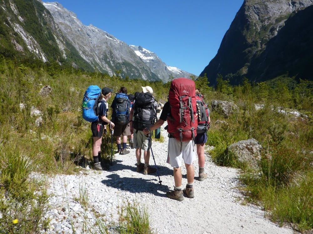
Day 2: Clinton Hut to Mintaro Hut—6 hours, 16.5km.
Hiking Moderate

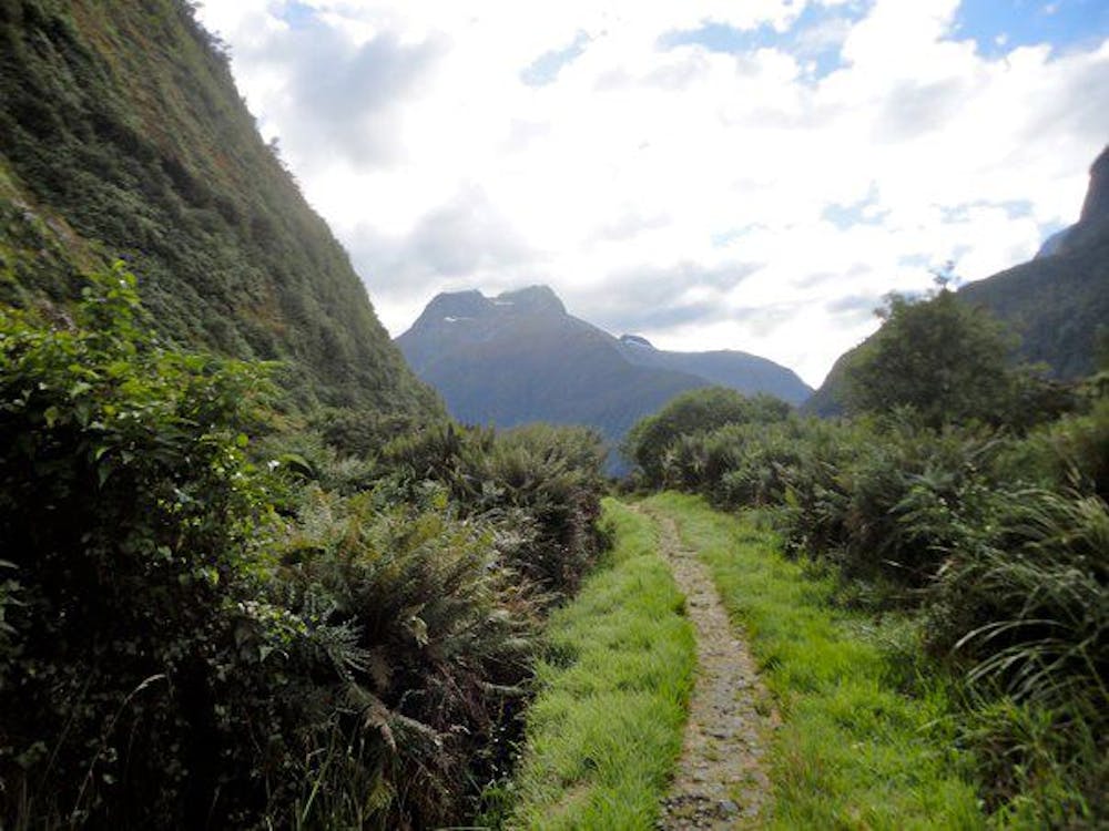
The track continues up the valley, after which it climbs gradually as it follows the banks of the Clinton River. The valley becomes noticeably narrower, with granite walls on both sides.
Between here and Quinton Lodge (around another 15km) the track passes numerous avalanche paths (some are sign marked). Beware, as the section from here to Hirere Falls Shelter can be subject to flooding during heavy rain.
After the shelter but before reaching Hidden Lake, a clearing provides a view of Mackinnon Pass on a fine day. The track then crosses the open grass area, climbing a small hill before reaching the Bus Stop Shelter.
A short distance further on, there is a turn off to Pompolona Lodge. Unless you're on a guided trek, you don't stop here.
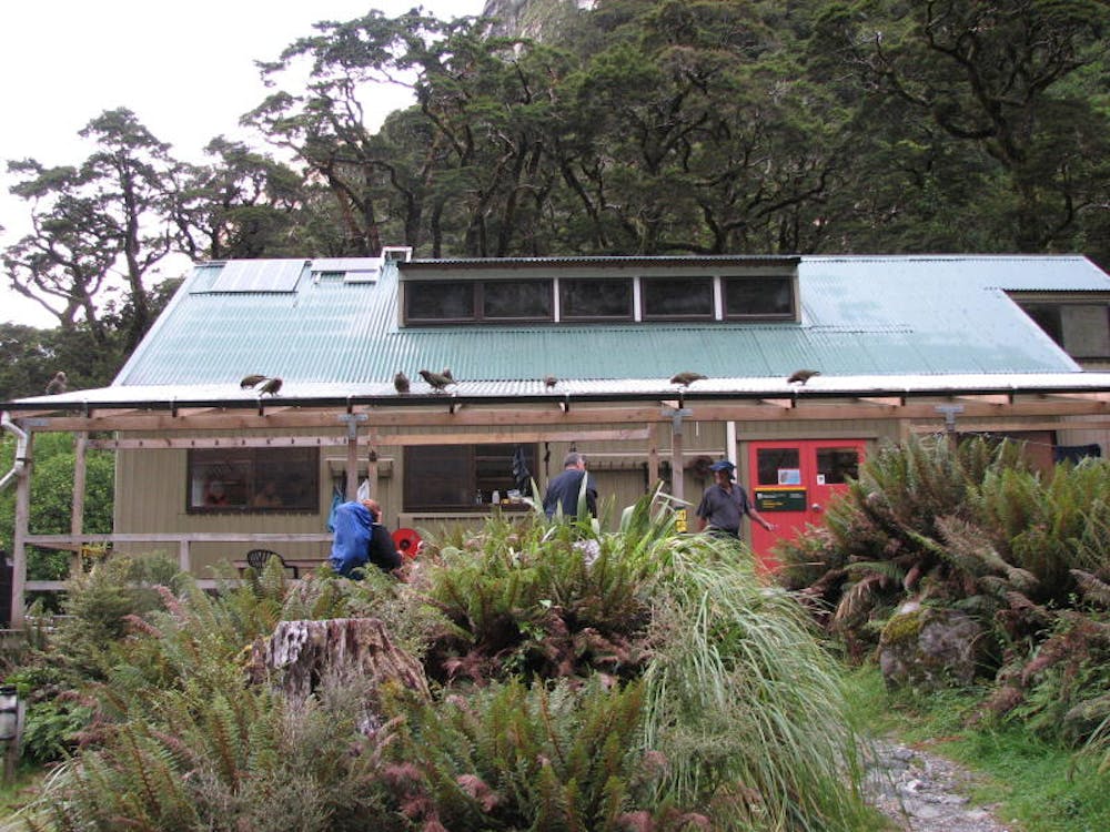
The track crosses Pompolona Creek and then ascends more steeply up the Clinton Canyon, passing a side track to St Quintin Falls. The track continues up a hill to Lake Mintaro, finally ending at Mintaro Hut.
Note, given the steep and narrow granite walls, if you have a GPS device it will be very hard to gain an accurate fix to track your movements.
Moderate
Hiking along trails with some uneven terrain and small hills. Small rocks and roots may be present.
3.4 km away
Boasting ancient rainforests, glacial valleys and spectacular views, it's easy to see why the Milford Track is often called the 'the finest walk in the world'.
Moderate Hiking
4 routes · Hiking
10 routes · Hiking

9 routes · Hiking