
4 routes · Hiking
Day 3: Mintaro Hut to Dumpling Hut — 6-7 hours, 14km.
Hiking Moderate

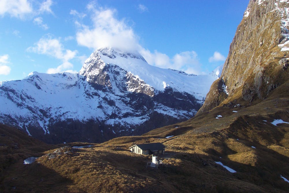
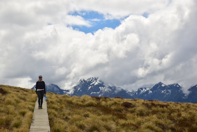
This is the toughest day on the Milford Track. You begin the day with a steep climb up to Mackinnon Pass via a series of switchbacks. You'll climb up to the memorial of explorer Quintin McKinnon, where you will enjoy inspiring views of Lake Mintaro and the Clinton Canyon along the way. From the memorial, you'll have impressive views all around the Clinton and Arthur Valleys, and of several close peaks. Just past the sign for the highest point of the track (1,154m), you'll then reach Mackinnon Pass Shelter, which includes a lookout with the best view!
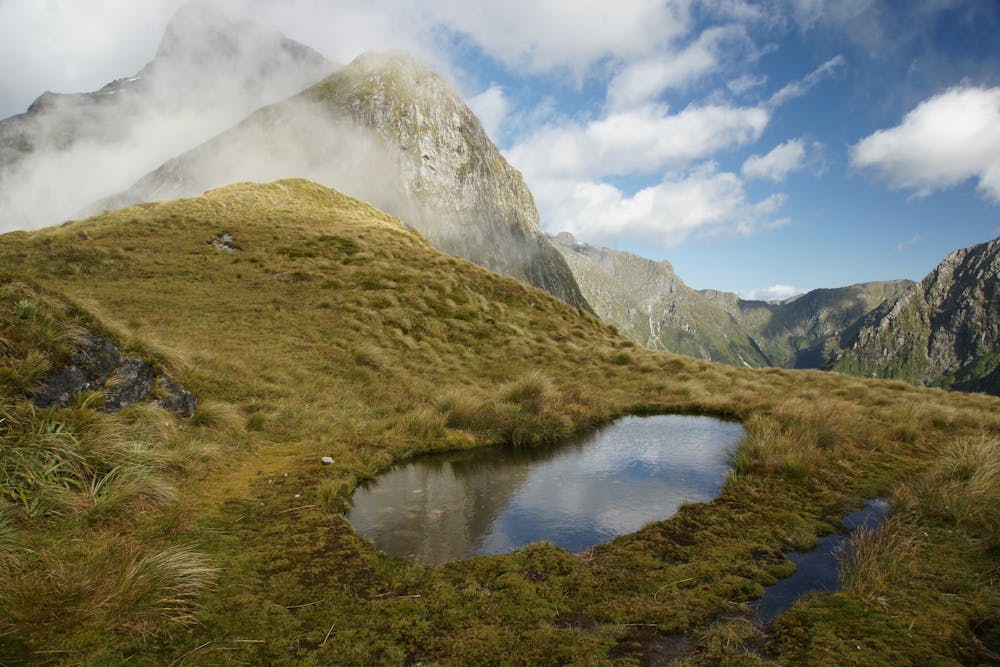
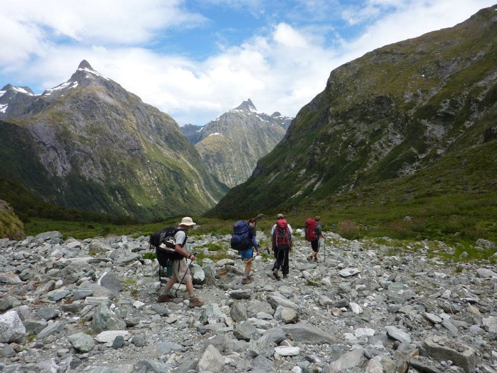
From the shelter, the track continues downwards through alpine grass, over a boulder-strewn area and past waterfalls to the bottom of the valley. The many waterfalls and rapids are a sight to behold, but be aware of the long series of wooden and metal stairways and lookout platforms that descend down the valley. Note that while this section descends steadily, care should be taken. This section is regarded as the most difficult on the entire track.
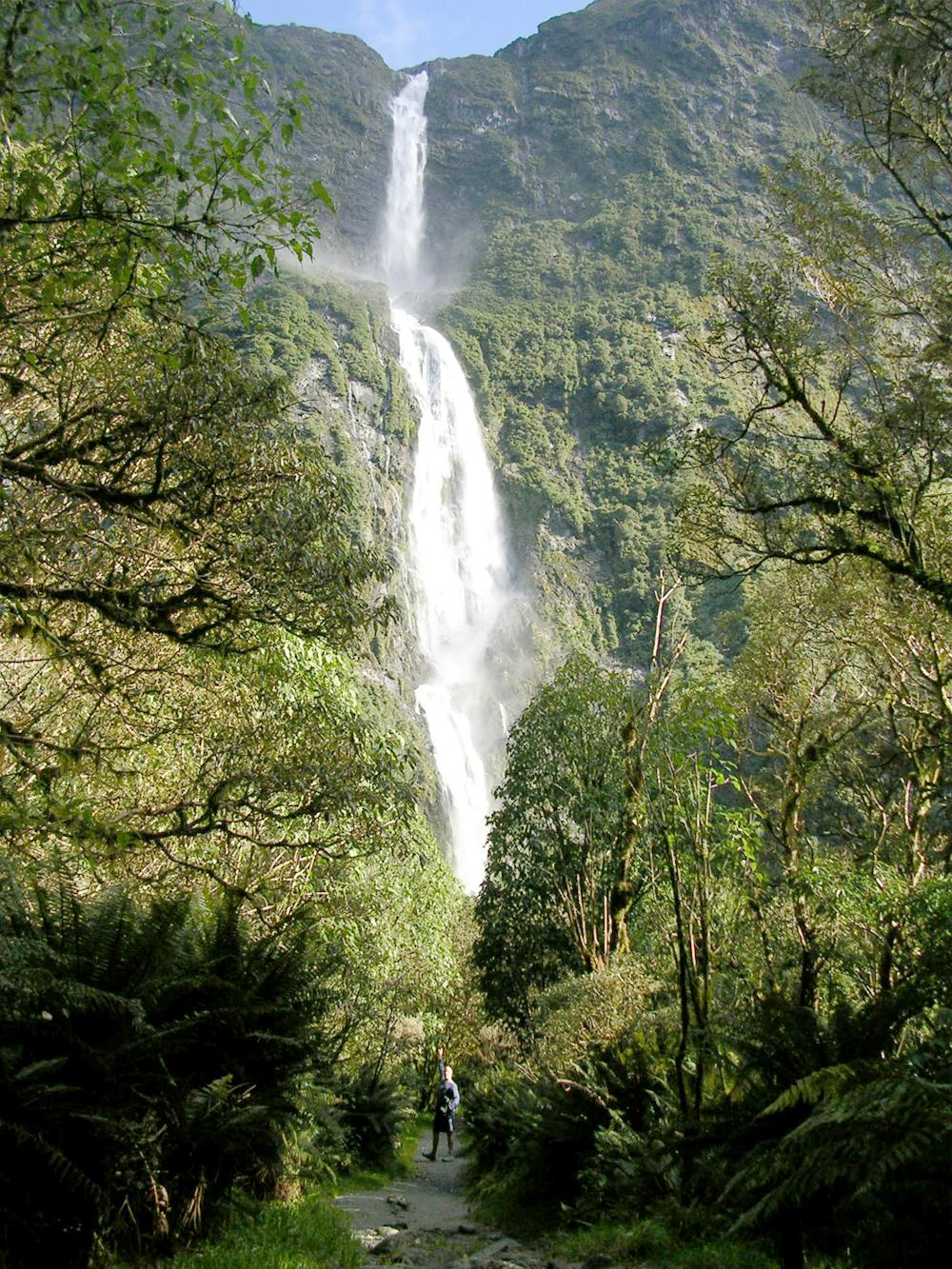
The magnificent Sutherland Falls can be reached from Quintin Hut shelter (3km round trip return, 1 1/2 hours). A steady, gradual, but straight forward trail leads to the base of the falls (dropping some 580m from the highest point) and back on the same track.
To reach the Dumpling Hut, follow the right side of the Arthur River downstream.
Moderate
Hiking along trails with some uneven terrain and small hills. Small rocks and roots may be present.
4 routes · Hiking
10 routes · Hiking