8.7 km away
Minarets
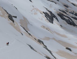
A remote summit in the heart of the Southern Alps
Moderate Alpine Climbing
- Distance
- 7.4 km
- Ascent
- 897 m
- Descent
- 897 m
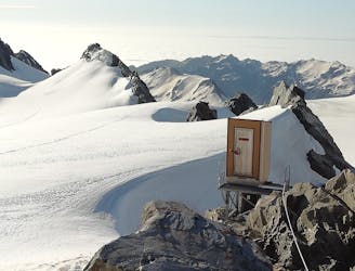
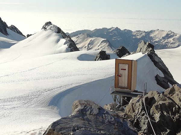
A glacial climb to the queen of the Tasman
Also in Canterbury, New Zealand
Alpine Climbing Moderate

This is a popular alpine climbing route which is generally considered to be moderate. It's remote, it features medium exposure and is typically done between September and January. From a low point of 2.3 km to the maximum altitude of 3.1 km, the route covers 4.9 km, 853 vertical metres of ascent and 86 vertical metres of descent. You'll need crampons, glacier kit and 2 ice axes to complete it safely.
A demanding glacial climb to a powerful peak dominating the head of the Tasman Glacier
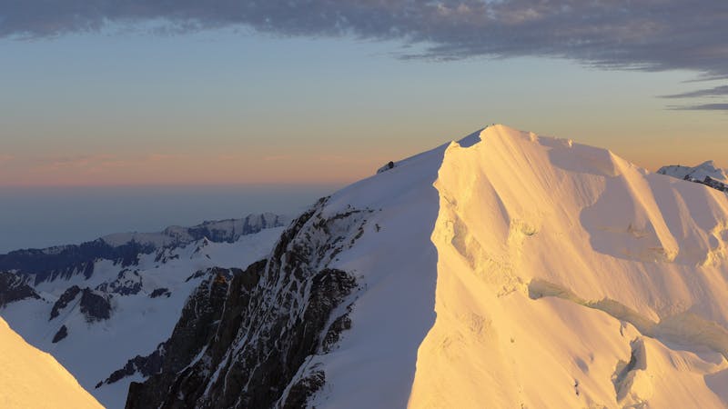
Moderate
May involve slightly more complex glacier hikes, easy but possibly long rock ridges and steep snow up to 45 degrees. Equivalent to PD, PD+

The route features some exposed and/or difficult to protect sections.
Away from help but easily accessed.
8.7 km away
A remote summit in the heart of the Southern Alps
Moderate Alpine Climbing
8.7 km away
A gorgeous high glacier traverse
Easy Alpine Climbing
10 routes · Alpine Climbing · Hiking
11 routes · Alpine Climbing · Hiking