9.5 km away
Mt Wakefield - Guideless Buttress
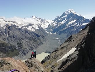
A long mountaineering traverse
Severe Alpine Climbing
- Distance
- 12 km
- Ascent
- 1.3 km
- Descent
- 1.3 km
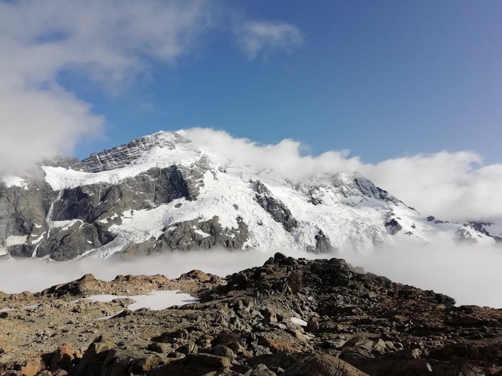
A stunning and remote summit on the West Coast
Alpine Climbing Difficult

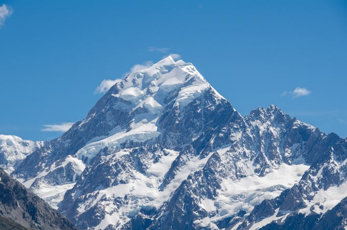
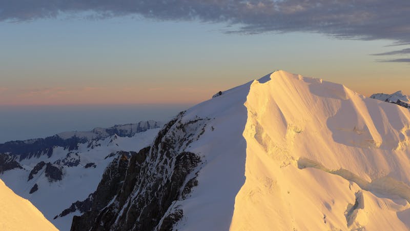
Mt Sefton's position, high above the Mueller Glacier, makes it one of the most prominent peaks when viewed from Mt Cook village and the popular treks thereabouts. Most teams wishing to ascend it however, will need to make the long journey around the mountain range to the West Coast and the start of the stunning Copland Track.
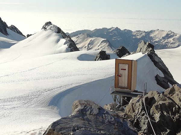
This route is described from the head of the Copland Valley at the Douglas Rock Hut, an 8 bunk hut with spaces available on a first come first served basis. This makes a convenient starting point but most teams will choose to bivouac around point 1,784m or up at Welcome Pass at 2,390m in order to make the day a little more manageable.
From the Douglas Rock Hut, head down the valley to the true right side of Scott Creek (i.e. the left side in ascent). A path of sorts, has been hacked out of the bush and is marked with pink tape. It follows the creek at first before heading away from the creek steeply, still marked, to the bushline at 1,080m and the top of the scrub at 1,260m. A south easterly traverse then leads through steep, rocky terrain to Bluewater saddle between point 1,800m and 1,784m.
From the saddle, traverse to the ridge south of point 1,800m, follow this for nearly 1km before making a rising traverse up Tekano Glacier to Welcome Pass 2,330m.
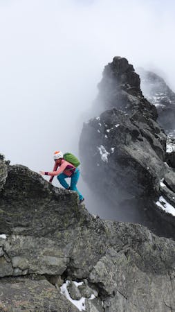
The navigation gets easier now whilst the mountaineering gets tricky! Follow the ridge crest, which is rocky and loose in late season to gain the west ridge of Mt Sefton where it steepens. The final section, leading to the summit, requires climbing on steep snow slopes and is the technical crux, so an early start is required to get here in good conditions. The summit arrives soon after with stunning views across to the other side of the range.
Return via the same route. Most parties will aim to make it back down to the Copland valley on the same day as the summit.
Difficult
The beginning of truly technical terrain which might involve pitched climbing on rock and/or ice, exposed terrain and complex route finding in ascent and descent. Equivalent to AD, AD+

Much of the route is difficult to protect and a fall could be disastrous at certain points.
Little chance of being seen or helped in case of an accident.
9.5 km away
A long mountaineering traverse
Severe Alpine Climbing
9.5 km away
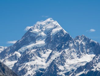
The most sought after alpine route in New Zealand?
Severe Alpine Climbing
4 routes · Alpine Climbing
10 routes · Alpine Climbing · Hiking
4 routes · Alpine Climbing
11 routes · Alpine Climbing · Hiking

18 routes · Alpine Climbing · Hiking