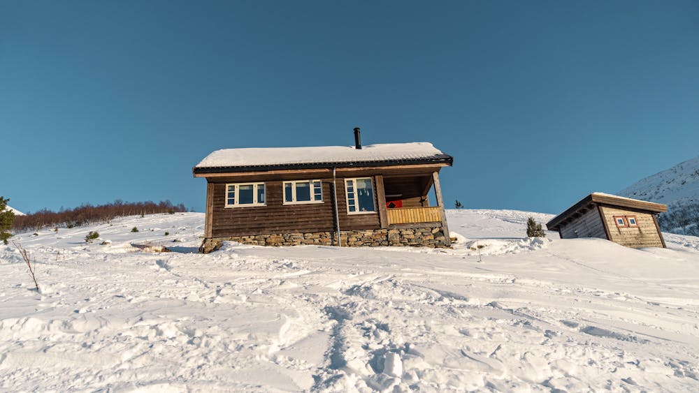
18 m away
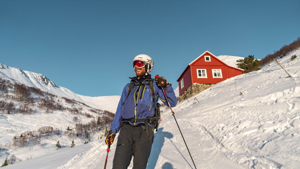
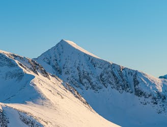
Kjøvskardtinden
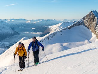
The big brother of Kirketaket offers much of the same terrain, but is less crowded.
Difficult Ski Touring
- Distance
- 18 km
- Ascent
- 1.5 km
- Descent
- 1.5 km
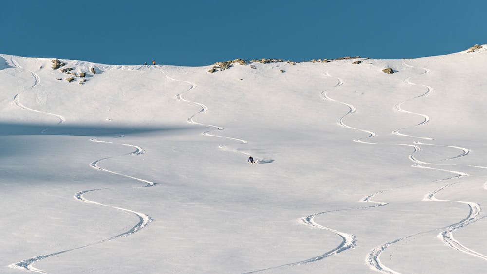
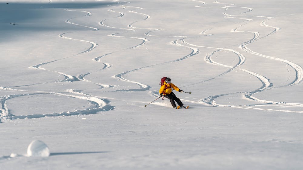
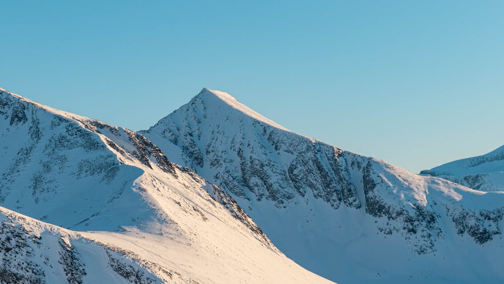
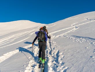
An efficient ski tour with many possible descents
Ski Touring Difficult

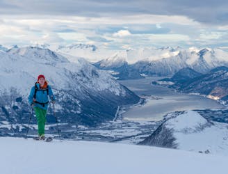
Galtåtind is an easily accessible summit and offers variable skiing, from steeper lines and couloirs in the east face to fresh powder in moderate terrain in the south bowl.
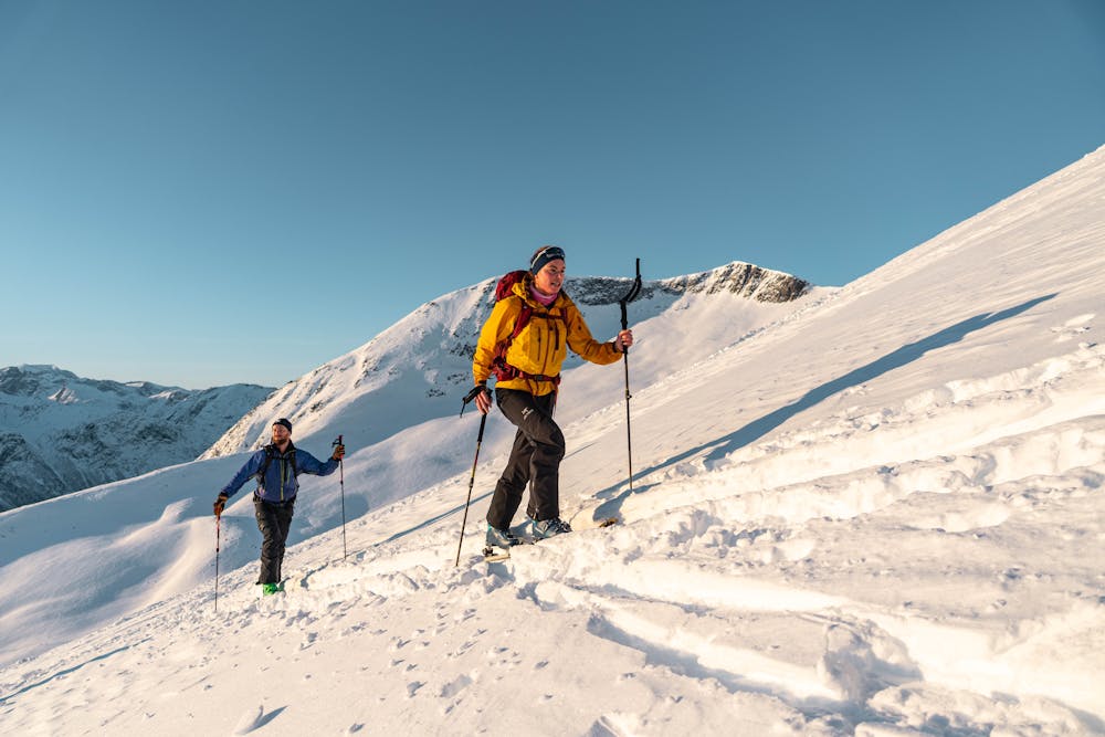
Start from the parking lot at Hellerøa. Follow the ski tracks to the north, right after the track crosses the river you will approach a cross road, turn left. You may see a sign pointing out the direction to Kirketaket. You are now on the summer path to Måsvassbu and may see red markings, follow these until you approach Loftskarsætra (an open area right after a bridge).
From Loftskarsætra, go 100 meters further into the valley before you cross the river. Hold to the west and find the easiest way through the forest. When passing the tree line you have to be cautious of where you lay your tracks. Here you have to pass some sections of 35 degrees when turning south and finding your way to the south ridge.
Follow the south ridge to the summit. Here you have many options.
The easiest return to the parking lot is by crossing the river in the valley right north of Loftskarsætra and following the marked path through the forest. If you go for Galtåbotn, make sure to not go too far to the south, then you will risk a bush whacking adventure!
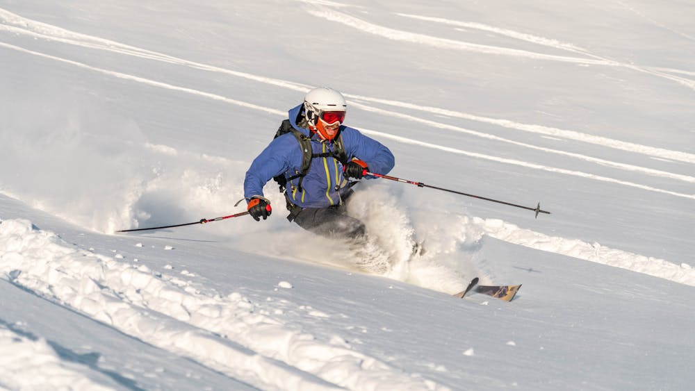
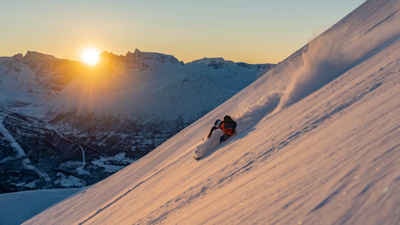
Difficult
Serious gradient of 30-38 degrees where a real risk of slipping exists.

Exposure is limited to that of the slope itself. Getting hurt is still likely if the slope is steep and/or the snow is hard.

Away from help but easily accessed.
18 m away
The big brother of Kirketaket offers much of the same terrain, but is less crowded.
Difficult Ski Touring
111 m away
One of Norway's most popular ski touring mountains offers world class skiing
Difficult Ski Touring
7.5 km away
A less crowded mountain in Isfjorden with many interesting ski lines
Severe Ski Touring
9.8 km away
An easy and popular trip with fantastic view over the ocean
Moderate Ski Touring
9 routes · Ski Touring