5 routes · Ski Touring
A scenic and easy little tour which enjoys fabulous views.
Ski Touring Easy

If the sky is grey or if there is high avalanche risk, this is a very worthwhile peak to know about because it can be done in just about any weather or avalanche conditions. The terrain is low angled, the skiing mellow and the route marked by plastic poles, meaning that in all but the harshest of whiteouts, getting lost is unlikely to be issue.
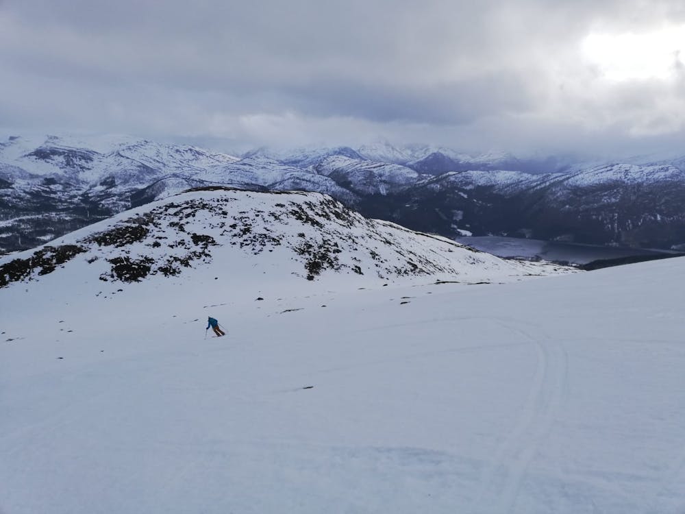
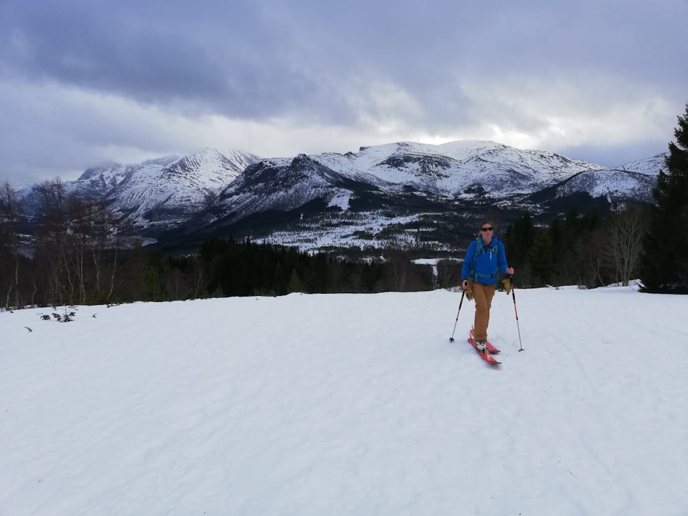
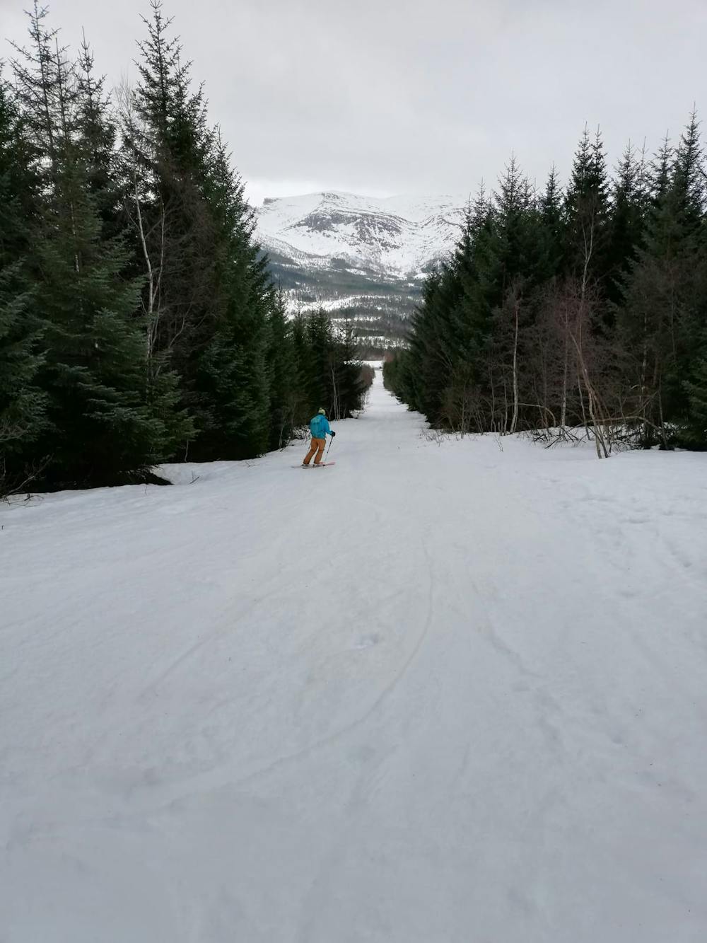
The route starts at a large carpark on a quiet forested road and the initial section of skinning is straight up a nice mellow track through peaceful forests. At the tree line there are a couple of little chalets on the left and after passing these you emerge into more open terrain. Follow a wide and vague valley west and then begin heading north, aiming for the foot of a broad ridge. Cross over the ridge and make the final climb up to the summit of Melshornet.
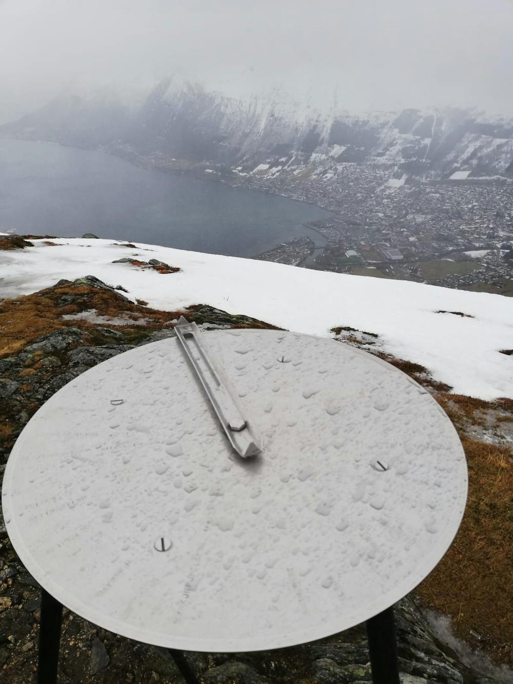
The highest point of Melshornet is 20 metres back from the steep north face of the mountain, but the orientation table (which is a beautiful piece of engineering) and the summit cairn are right at the top of the north face, and most tourers don't bother tagging the highest point and treat the cairn as the summit of the mountain.
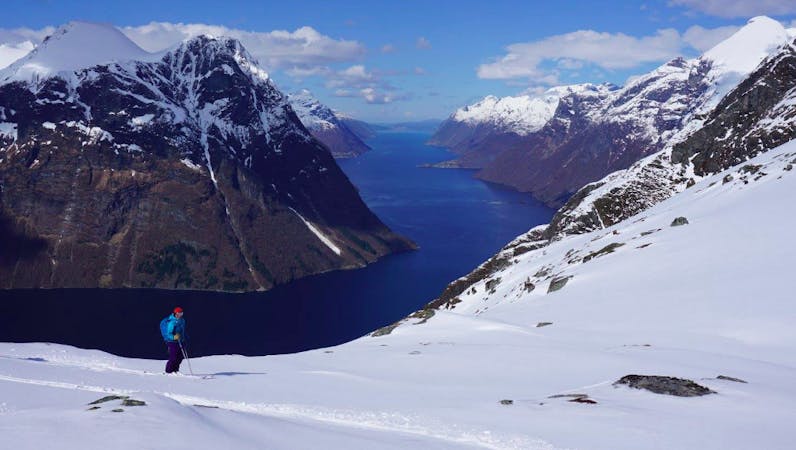
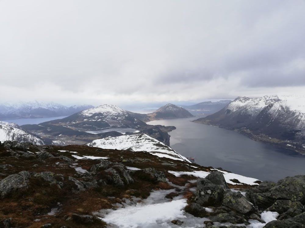
The views from the top are fascinating, and it can take some time before you really get your bearings and figure out which peak and fjord is which. Most map geeks will relish half an hour on the summit relating what they're looking at to what they can see in FATMAP.
Ski back down the same way and enjoy the cruisy skiing.
Easy
Wide gentle slopes at around 20 degrees or less.

Exposure is limited to that of the slope itself. Getting hurt is still likely if the slope is steep and/or the snow is hard.

Little chance of being seen or helped in case of an accident.
5 routes · Ski Touring