8.7 km away
Blåtindane
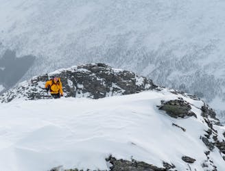
A nice ski tour with potential for a mini traverse
Moderate Ski Touring
- Distance
- 7 km
- Ascent
- 872 m
- Descent
- 872 m
Splitboard friendly trip with 1000 verticals - wide open slope - descent.
Ski Touring Moderate
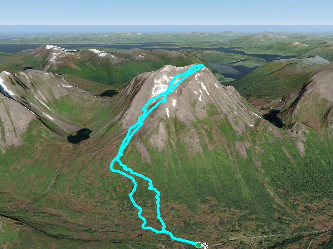
This is a popular ski touring route which is generally considered to be moderate. It's remote, it features low exposure (e1) and is typically done between December and May. From a low point of 454 m to the maximum altitude of 1.5 km, the route covers 9.1 km, 1220 vertical metres of ascent and 1222 vertical metres of descent. It's graded 2.2 and Labande grade 3. You'll need skins to complete it safely.
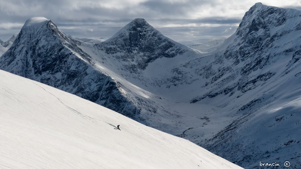
Car out/in trip. Easy to follow the right direction up. Many possibilities for riding down. Great view of Sunnmøre and Romsdal mountain range, with ocean as well. A bit steeper 800-1100m, but easily managable.
Moderate
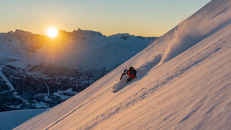
Slopes become slightly steeper at around 25-30 degrees.

Exposure is limited to that of the slope itself. Getting hurt is still likely if the slope is steep and/or the snow is hard.

Away from help but easily accessed.
8.7 km away
A nice ski tour with potential for a mini traverse
Moderate Ski Touring
9 routes · Ski Touring