9 routes · Ski Touring
A long ski touring trip in an alpine massif and great ocean view
Ski Touring Severe

This is the description of the normal route to Skjervan, which approaches from Innfjorden (the east side). It is also possible to approach Skjervan from Måndalen (the west side), this is a slightly steeper alternative.
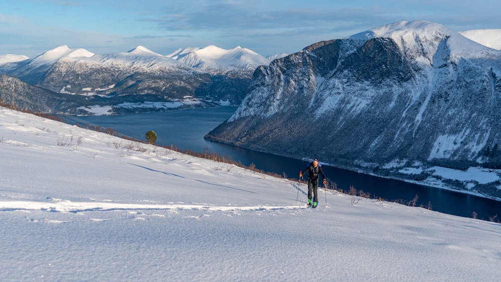
Park your car at the right side of the road right after the farm called Skjelbostad. Follow the road going up into the woods. There is a 3.5 kilometer approach before the road ends, then zigzag your way straight up the hill.
When passing the tree line, head for the north east ridge, and pass point 1268m on the north side. From the saddle west of point 1268m, head for the outcropping rock which is easily visible on the ridge. Pass the rock on its steep north side. This may require putting your skis on your backpack then a traverse out to the north ridge of the mountain.
Now you can follow the north ridge for a while with your skis on. The ski tour ends on the west side under the top ridge.
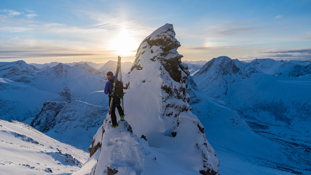
If you want to go all the way to the summit, you have to cross the west flank of the top ridge and continue a bit to the south before you find a couloir leading up to the top ridge. Here you should leave your skis behind, put on crampons and ice axe and scramble the easiest way to the top ridge. Depending on the snow conditions, there may be outcropping rocks up this route.
For the descent there are two options. The first alternative is to ski down the ascent route. The second alternative is down the east face.
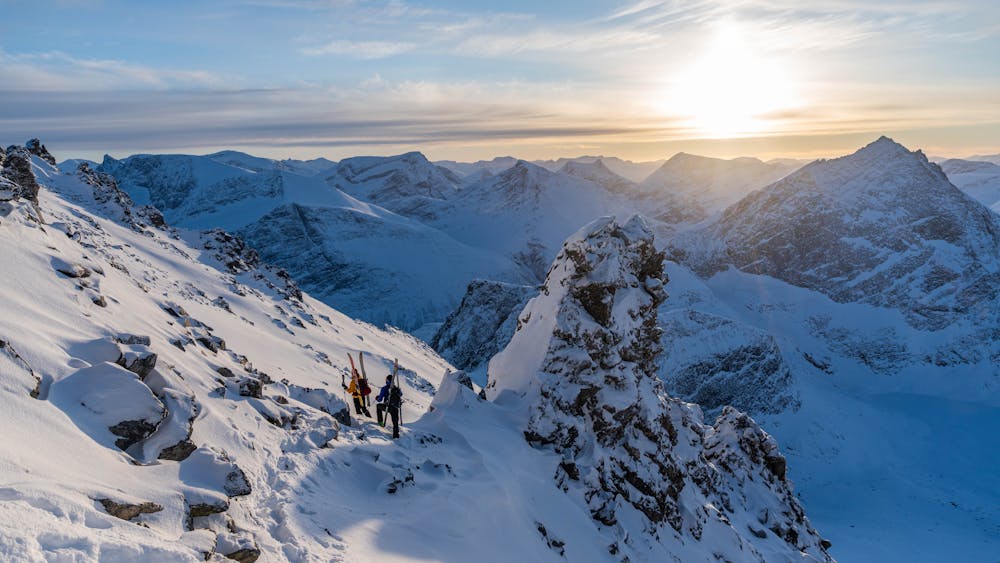
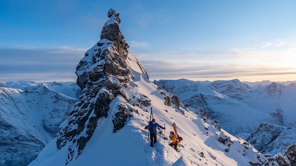
To get to the east face continue south, crossing the flanks on the west side of the ridge. This is best done with your skis on your backpack. First you cross another couloir, and then you arrive at a very photogenic location with a needle in front of you. Pass the needle on the left hand side, go around a corner and then straight up to the south col. Here you will find the east face descent.
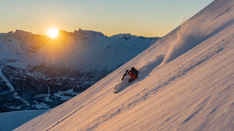
First you ski down a steep couloir (45 degrees) which soon opens up to a big face. Now you will get a nice view over the east side of the mountain. Rejoin the ascent route further down. It is highly recommended to follow the road through the woods, unless you want a real bush whacking adventure!
Severe
Steep skiing at 38-45 degrees. This requires very good technique and the risk of falling has serious consequences.

As well as the slope itself, there are some obstacles (such as rock outcrops) which could aggravate injury.

Little chance of being seen or helped in case of an accident.
9 routes · Ski Touring