6.9 km away
Tjønnholstinden
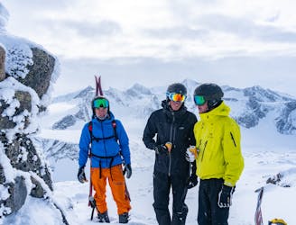
A complete ski tour with great views and a summit over 2300 meters above sea level
Moderate Ski Touring
- Distance
- 18 km
- Ascent
- 1.4 km
- Descent
- 1.4 km
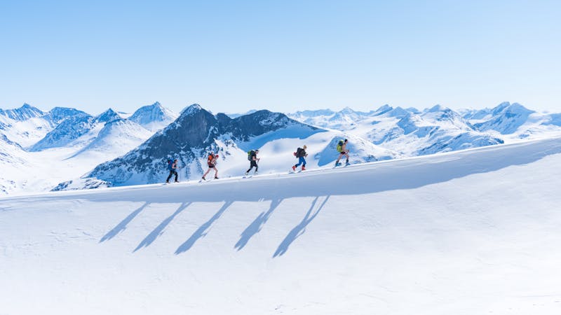
Gjendesheim to Memurubu
Ski Touring Difficult

This is a popular ski touring route which is generally considered to be difficult. It's remote, it features medium exposure (e2) and is typically done between March and May. From a low point of 983 m to the maximum altitude of 2.3 km, the route covers 18 km, 1638 vertical metres of ascent and 1611 vertical metres of descent. It's graded 1.2 and Labande grade 3. You'll need skins and crampons to complete it safely.
Haute Route in magic Norway
Difficult
Serious gradient of 30-38 degrees where a real risk of slipping exists.

As well as the slope itself, there are some obstacles (such as rock outcrops) which could aggravate injury.
Away from help but easily accessed.
6.9 km away
A complete ski tour with great views and a summit over 2300 meters above sea level
Moderate Ski Touring
4 routes · Ski Touring