83 m away
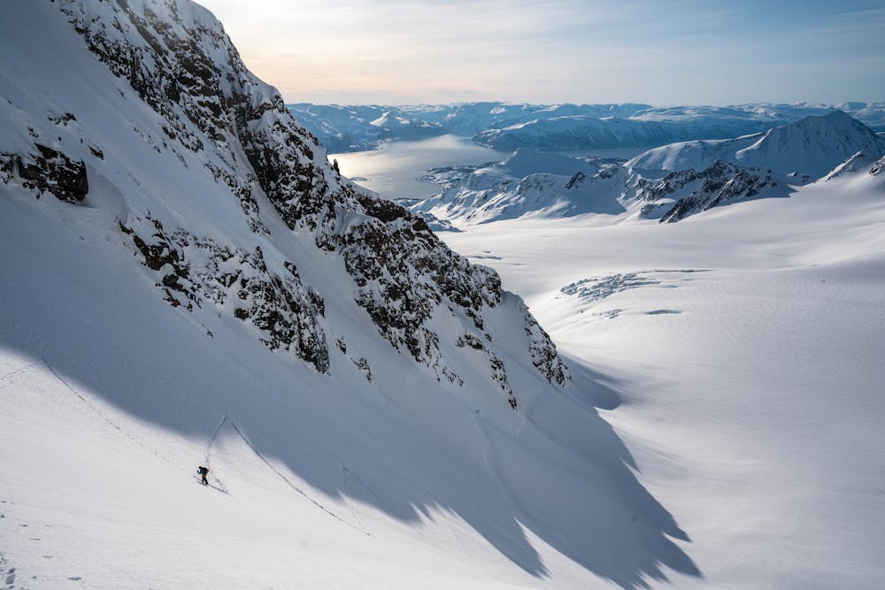
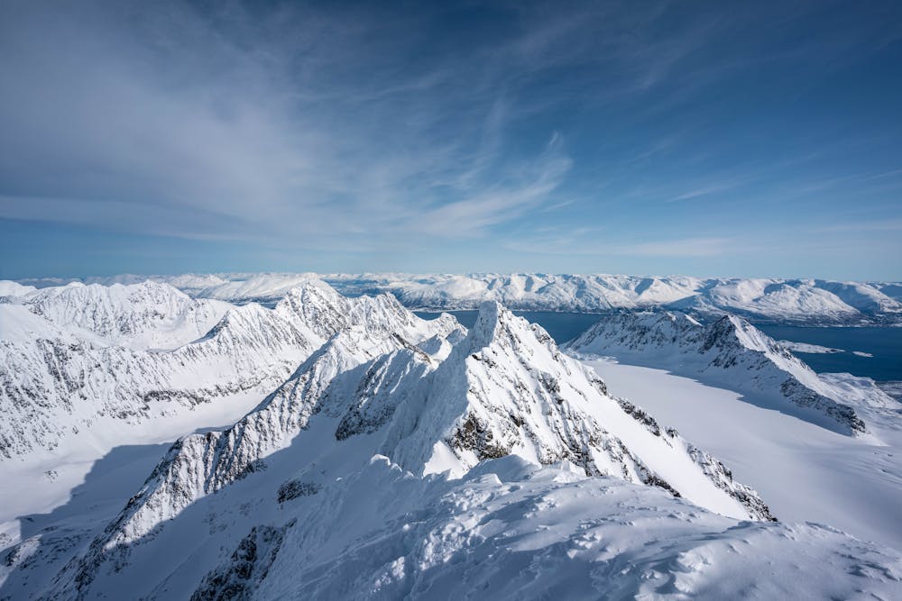
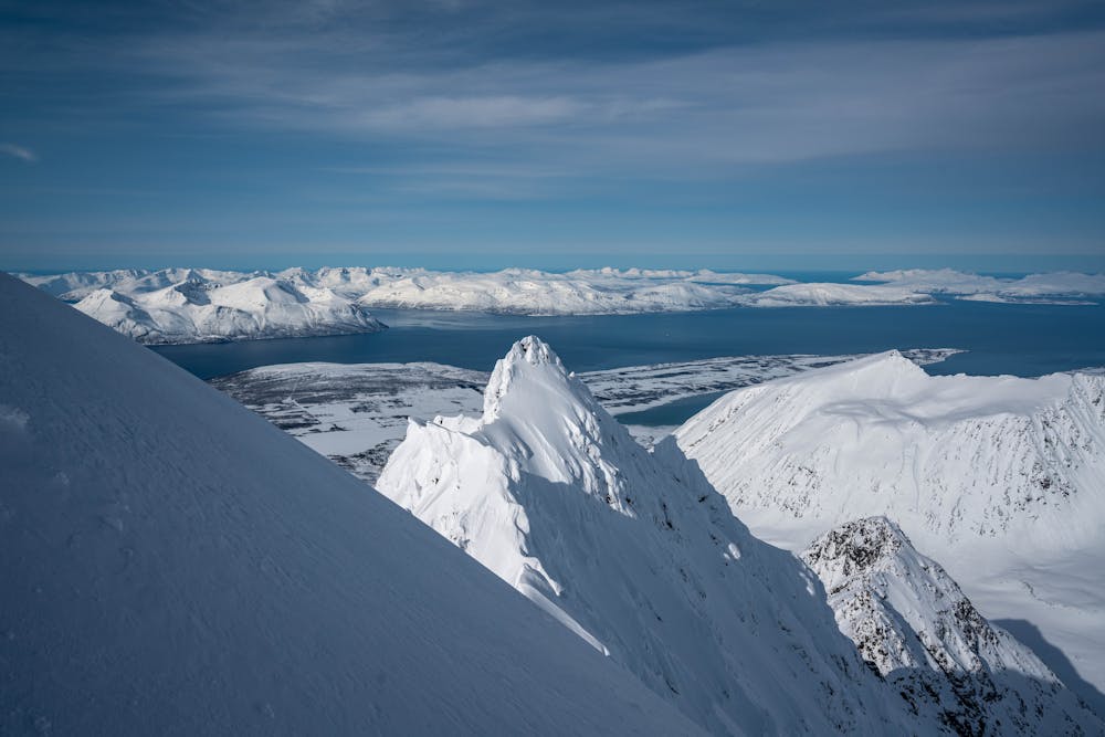
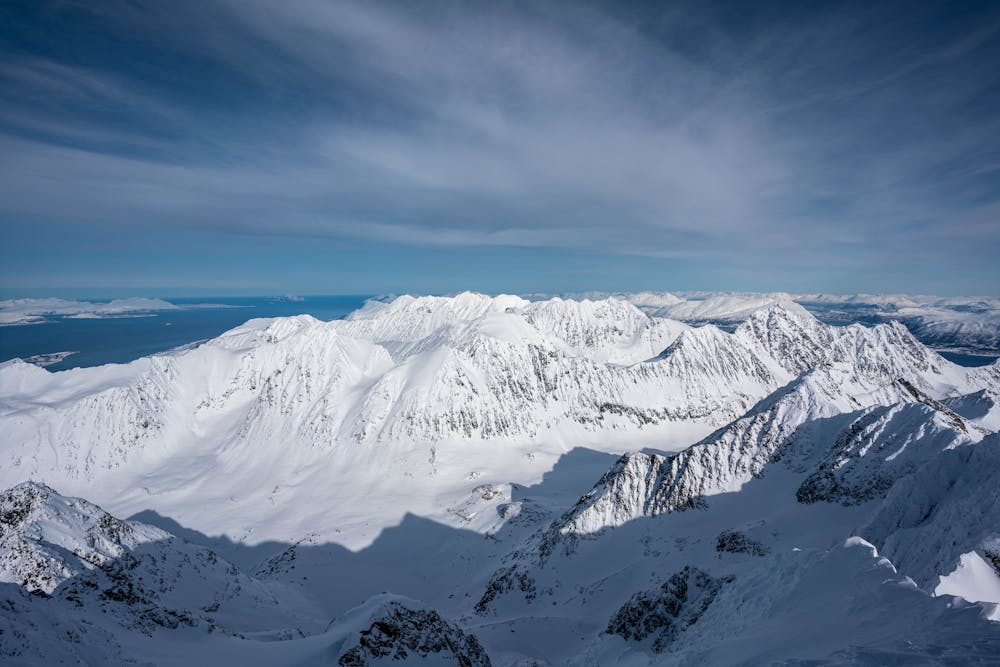
Tafeltinden (1395m)
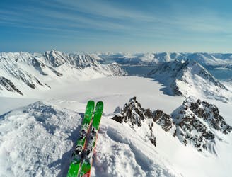
A great ski touring classic in the Lyngen Alps
Moderate Ski Touring
- Distance
- 16 km
- Ascent
- 1.6 km
- Descent
- 1.6 km
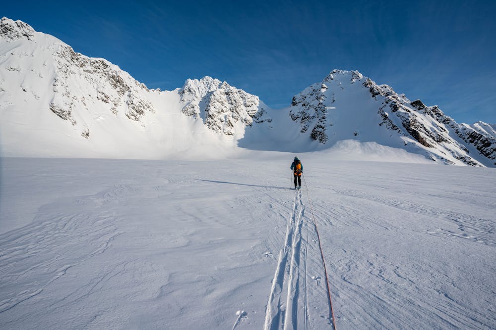
The tallest mountain in northern Lyngen is a true adventure with stunning view
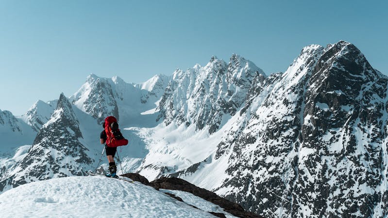
Ski Touring Severe

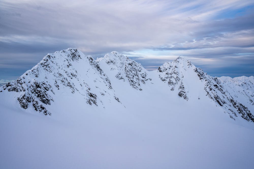
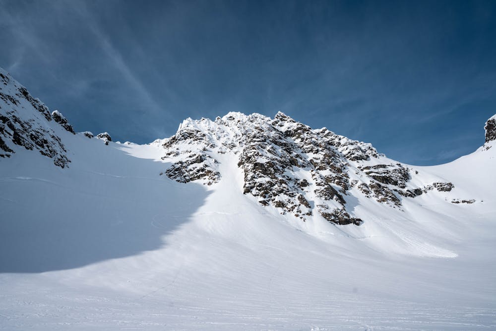
This mountain is steep and majestic from all aspects. To reach the summit you need to traverse an exposed ridge which may require protection. The view from the summit is truly breathtaking. Due to its exposure, long approach and alpine obstacles this mountain should not be underestimated.
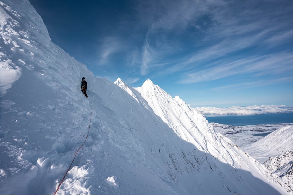
Severe
Steep skiing at 38-45 degrees. This requires very good technique and the risk of falling has serious consequences.

In case of a fall, death is highly likely.

In the high mountains or remote conditions, all individuals must be completely autonomous in every situation.
83 m away
A great ski touring classic in the Lyngen Alps
Moderate Ski Touring
10 routes · Ski Touring