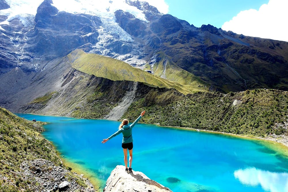
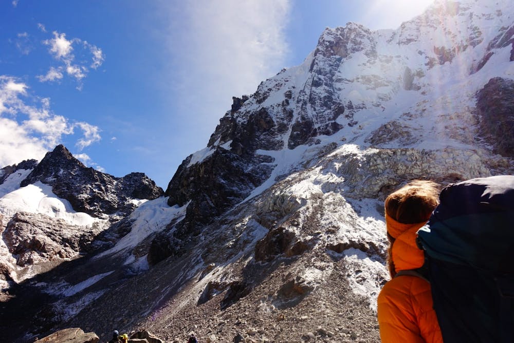
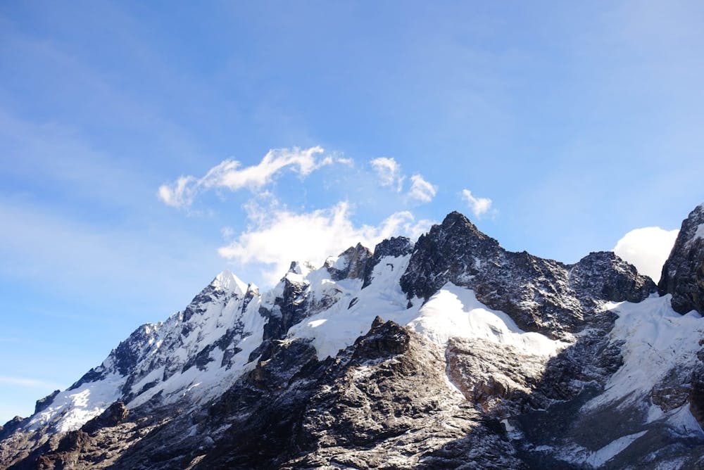
Salkantay Trek
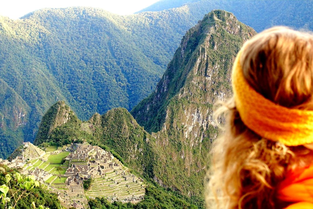
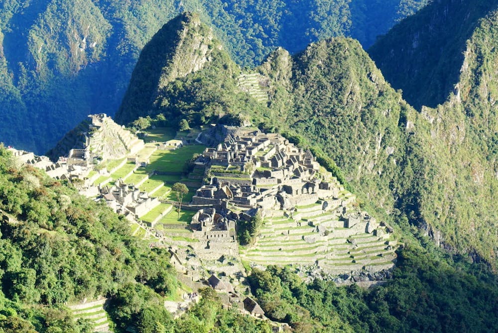
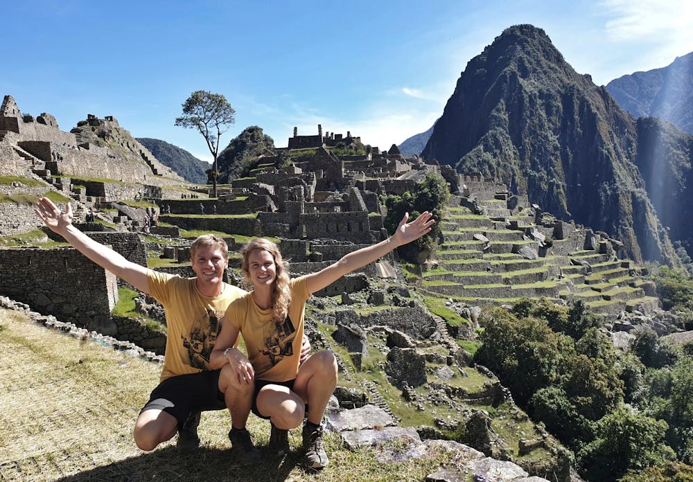
Machu Picchu
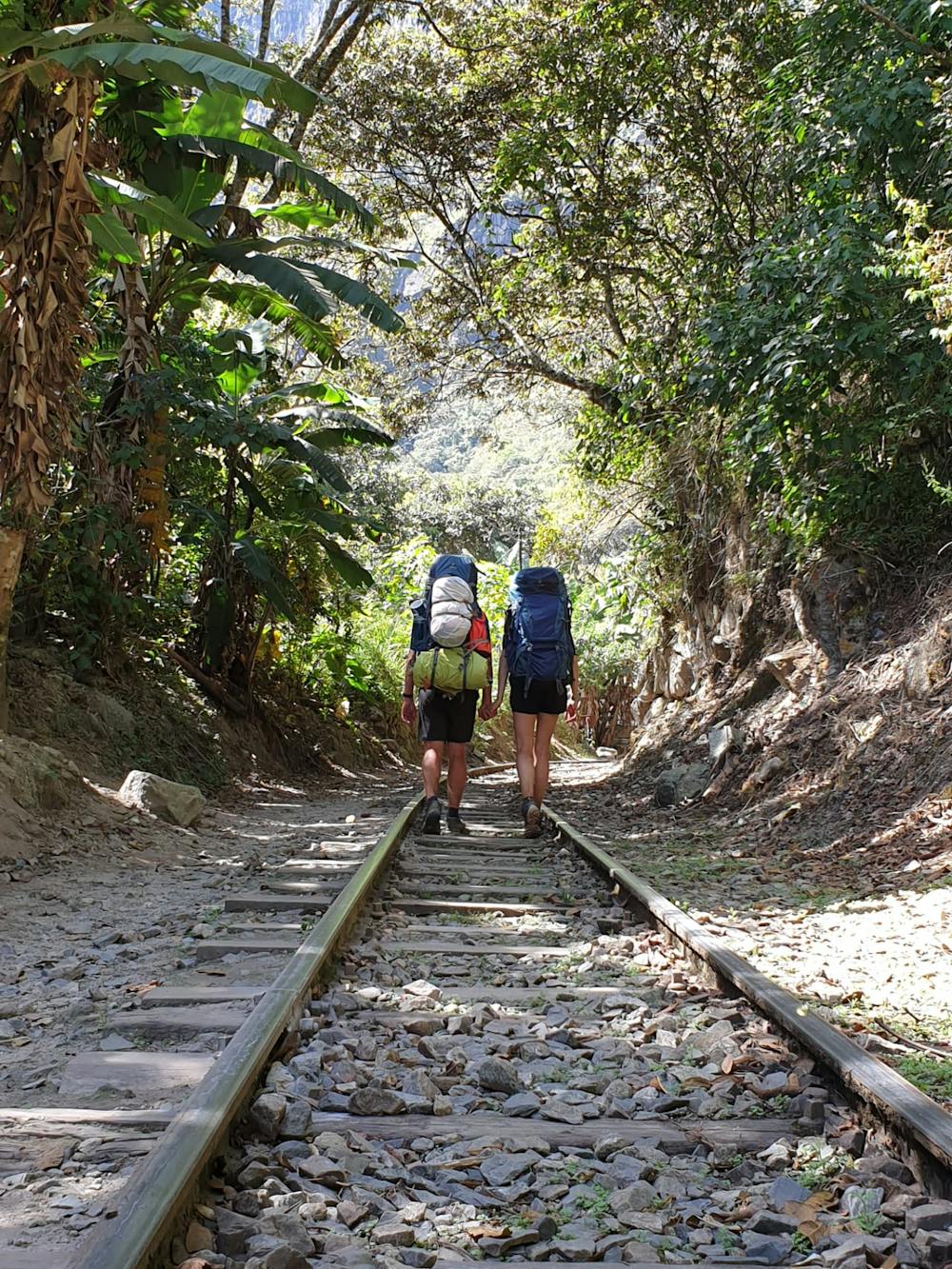
Alternative route to Inca Trail
Hiking Moderate
- Distance
- 67 km
- Ascent
- 3.5 km
- Descent
- 5.3 km
- Duration
- 1 day +
- Low Point
- 1.8 km
- High Point
- 4.6 km
- Gradient
- 20˚

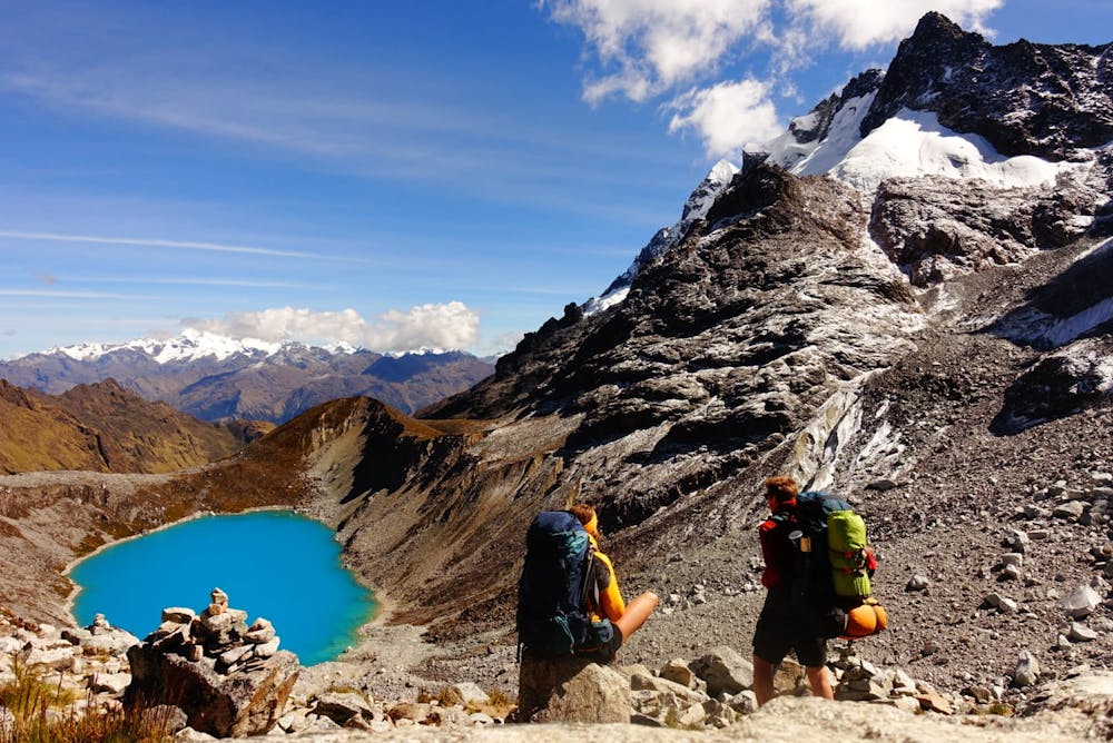
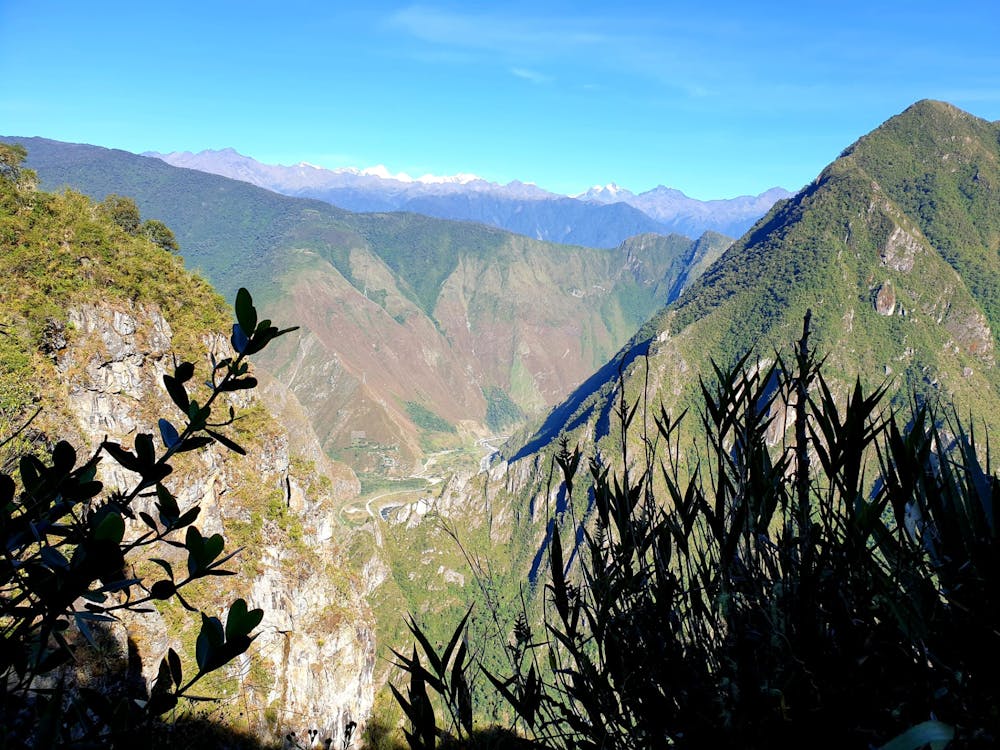
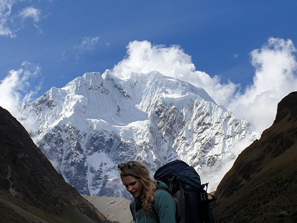
This is a popular hiking route which is generally considered to be moderate. It's not remote, it features low exposure and is typically done all year round. From a low point of 1.8 km to the maximum altitude of 4.6 km, the route covers 67 km, 3472 vertical metres of ascent and 5283 vertical metres of descent.
- •
- •
- •
- •
- •
- •
- •
- •
- •
- •
- •
- •
- •
Description
Difficulty
Moderate
Hiking along trails with some uneven terrain and small hills. Small rocks and roots may be present.
Low Exposure

The path is on completely flat land and potential injury is limited to falling over.
Remoteness
Close to help in case of emergency.
Best time to visit
Features
- Historical
- Picturesque
- Summit Hike
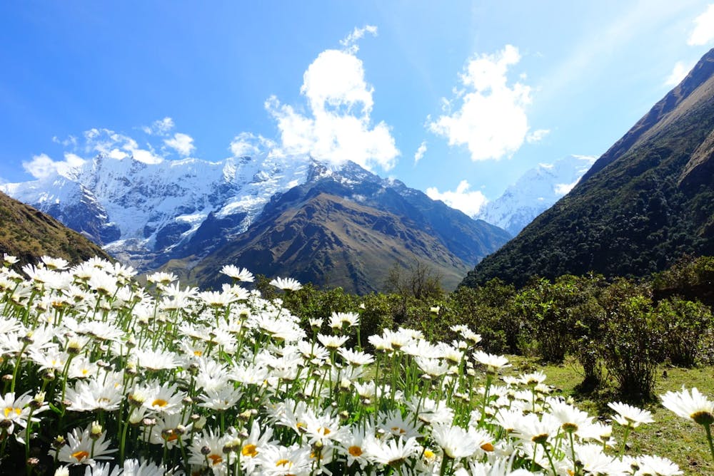
- Wild flowers
- Water features
- Forestry or heavy vegetation