5.7 km away
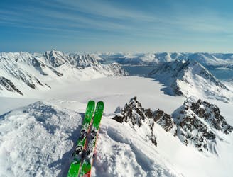
Sorbmegaisa (1288 m)
The classic and best skitouring mountain in Kåfjord
Moderate Ski Touring
- Distance
- 7.9 km
- Ascent
- 1.3 km
- Descent
- 1.3 km
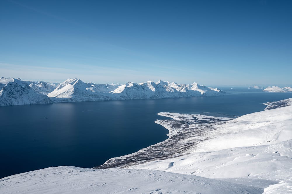
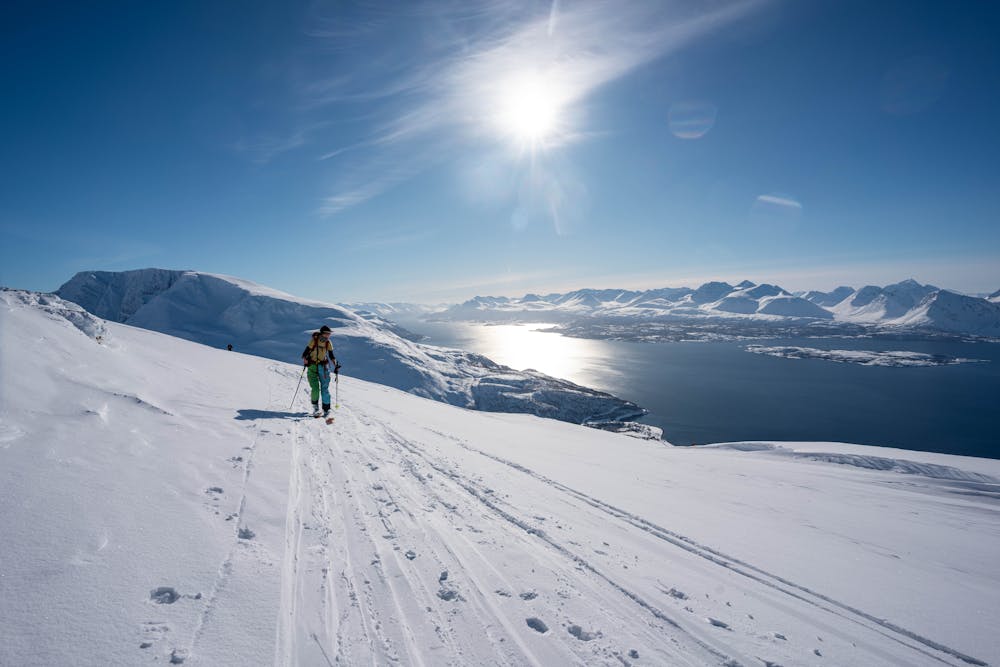
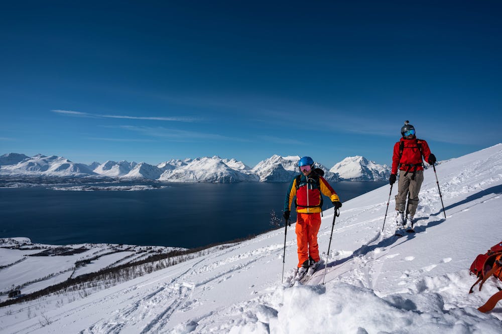
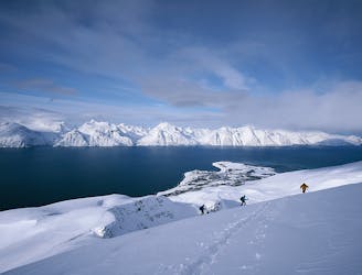
A moderate ski tour with stunning view over northern Lyngen peninsula
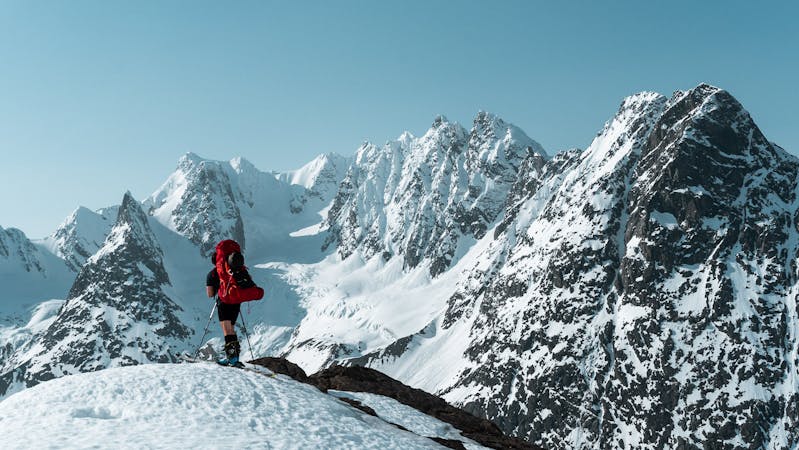
Ski Touring Moderate

This is a popular ski touring route which is generally considered to be moderate. It's an unknown remoteness, it features unknown exposure and is typically done in an unknown time of year. From a low point of 9 m to the maximum altitude of 1.2 km, the route covers 12 km, 1331 vertical metres of ascent and 1333 vertical metres of descent.
This is moderate ski tour which can be done in safe terrain. Thus, this is a nice option on days with avalanche danger. The surroundings are impeccable!
Moderate
Slopes become slightly steeper at around 25-30 degrees.
5.7 km away
The classic and best skitouring mountain in Kåfjord
Moderate Ski Touring
9.5 km away
A great ski touring classic in the Lyngen Alps
Moderate Ski Touring
10 routes · Ski Touring