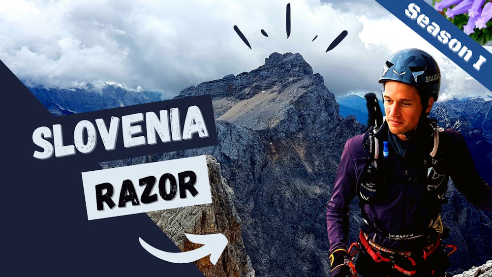
Razor Black
Hard one from Trenta to the top!
Trail Running Severe
- Distance
- 23 km
- Ascent
- 2.1 km
- Descent
- 2.1 km
- Duration
- 5-6 hrs
- Low Point
- 648 m
- High Point
- 2.5 km
- Gradient
- 20˚

This is a popular trail running route which is generally considered to be severe. It's remote, it features medium exposure and is typically done between May and September. From a low point of 648 m to the maximum altitude of 2.5 km, the route covers 23 km, 2121 vertical metres of ascent and 2121 vertical metres of descent.
Description
From Trenta to the top via Krissi Podi.
Check on YouTube! https://youtu.be/D9xIaz0fGJ0
Difficulty
Severe
Medium Exposure

The trail contains some obstacles such as outcroppings and rock which could cause injury.
Remoteness
Away from help but easily accessed.