Triglav from Stara Fužina

One way route up Mount Triglav from Stara Fužina via Vodnikov Dom and Dom Planika
Difficult Hiking
- Distance
- 17 km
- Ascent
- 2.3 km
- Descent
- 106 m
Explore Bovec with curated guides of the best routes. With over 7 3D trail maps in FATMAP, you can easily discover and navigate the best trails in Bovec.
No matter what your next adventure has in store, you can find a guide on FATMAP to help you plan your next epic trip.
Get a top trail recommendation in Bovec, or get inspired by the 7 local adventures uploaded by the FATMAP community. Start exploring now!
One way route up Mount Triglav from Stara Fužina via Vodnikov Dom and Dom Planika
Difficult Hiking

Premuda bis Thörl (AT)
Difficult Hiking
Climb to the highest Slovenian peak, Mount Triglav 2864 m called Tricorno, starting from Val Vrata and climbing the Prag route and then the normal route to the summit.
Difficult Alpine Climbing

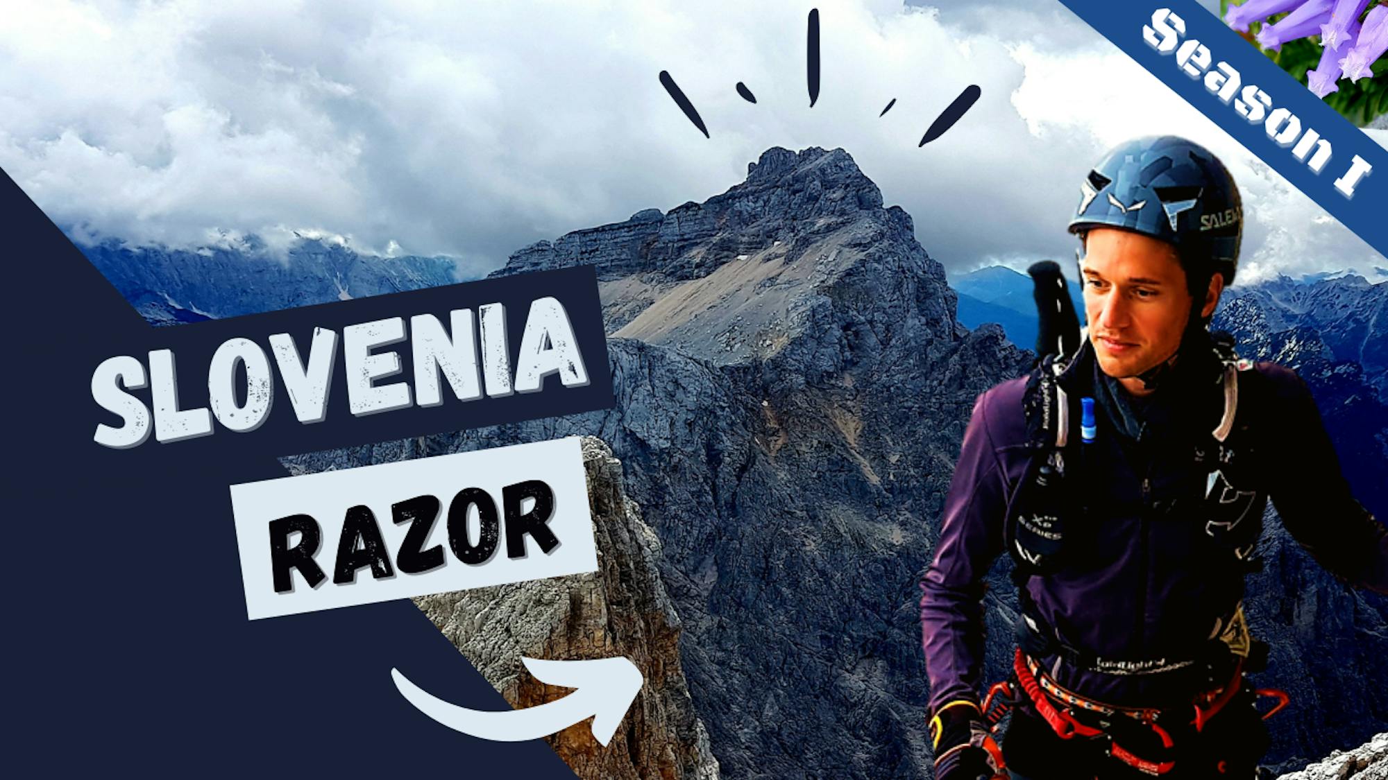
Vršič - Jalovec (mimo zavetišča pod Špičkom)
Difficult Hiking

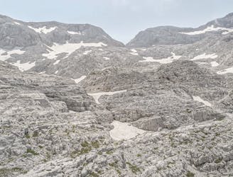
Approach to the Mali Razor!
Moderate Trail Running

Hard one from Trenta to the top!
Severe Trail Running
On the way to the top - the classic route
Difficult Trail Running