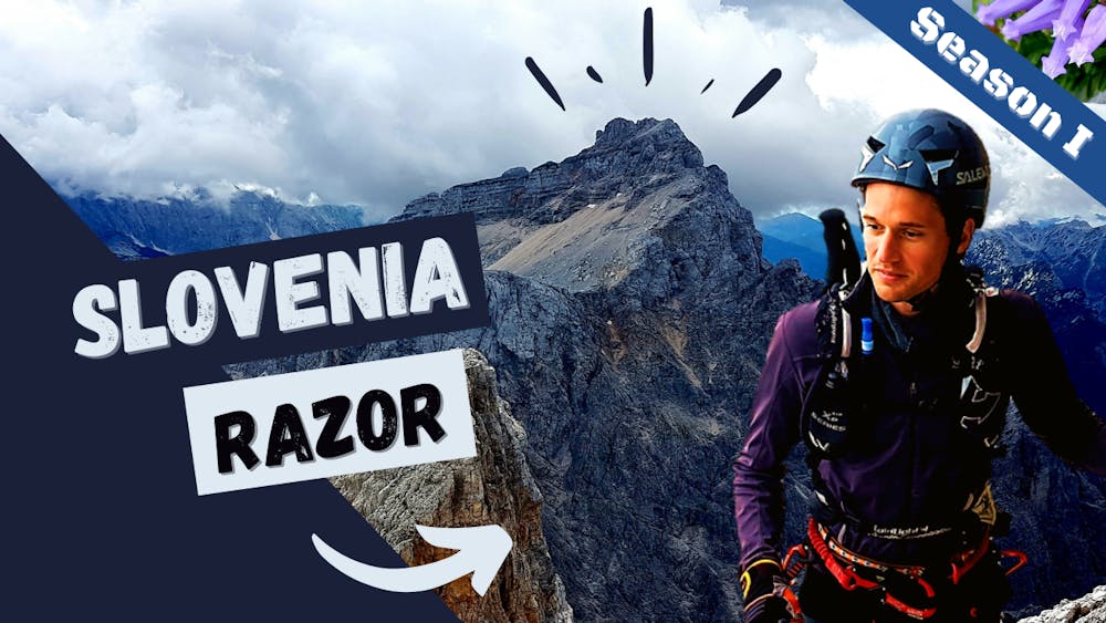
Razor Red
On the way to the top - the classic route
Trail Running Difficult
- Distance
- 16 km
- Ascent
- 1.6 km
- Descent
- 1.6 km
- Duration
- 3-4 hrs
- Low Point
- 1.6 km
- High Point
- 2.5 km
- Gradient
- 19˚

This is a popular trail running route which is generally considered to be difficult. It's remote, it features medium exposure and is typically done between May and September. From a low point of 1.6 km to the maximum altitude of 2.5 km, the route covers 16 km, 1635 vertical metres of ascent and 1637 vertical metres of descent.
Description
From Vrzic to the top, via the Mlinarica valley.
Check on YouTube! https://youtu.be/D9xIaz0fGJ0
Difficulty
Difficult
Medium Exposure

The trail contains some obstacles such as outcroppings and rock which could cause injury.
Remoteness
Away from help but easily accessed.