Cradock Peak Hike, George, Western Cape, South Africa.
8-9 hour hike to the highest point overlooking George
Hiking Difficult
- Distance
- 8.8 km
- Ascent
- 1.3 km
- Descent
- 58 m
- Duration
- 3-4 hrs
- Low Point
- 263 m
- High Point
- 1.5 km
- Gradient
- 15˚

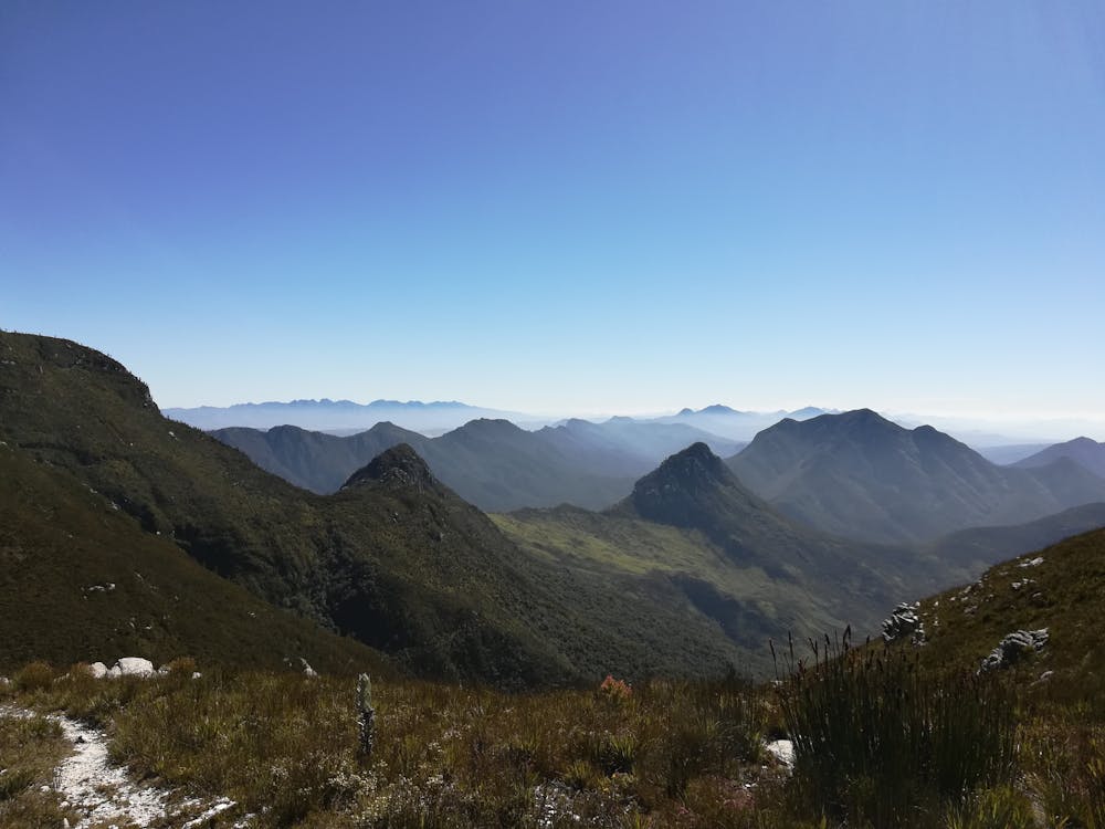
This is a popular hiking route which is generally considered to be difficult. It's remote, it features medium exposure and is typically done in March, April, May, September, October and November. From a low point of 263 m to the maximum altitude of 1.5 km, the route covers 8.8 km, 1344 vertical metres of ascent and 58 vertical metres of descent.
- •
- •
- •
Description
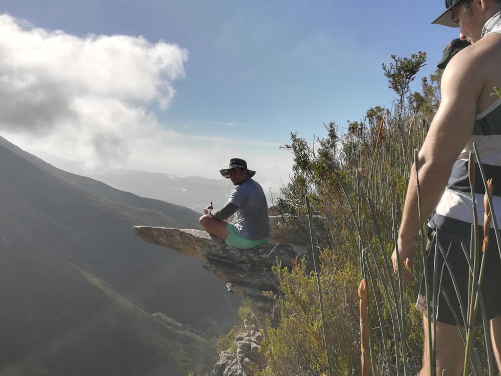
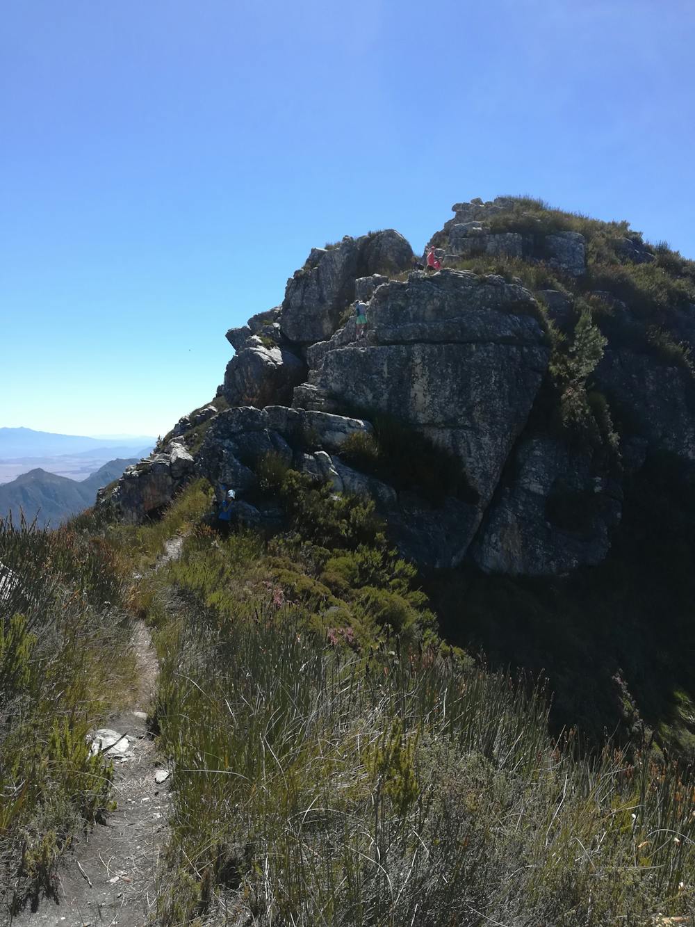
A good trail all the way with a small scramble near the top
Difficulty
Difficult
Hiking trails where obstacles such as rocks or roots are prevalent. Some obstacles can require care to step over or around. At times, the trail can be worn and eroded. The grade of the trail is generally quite steep, and can often lead to strenuous hiking.
Medium Exposure

The trail contains some obstacles such as outcroppings and rock which could cause injury.
Remoteness
Away from help but easily accessed.
Best time to visit
Features
- Picturesque
- Summit Hike
- Wild flowers