Kerala to Bontebok
One of the routes for the RBHS Journey
Hiking Moderate
- Distance
- 12 km
- Ascent
- 582 m
- Descent
- 778 m
- Duration
- 3-4 hrs
- Low Point
- 108 m
- High Point
- 810 m
- Gradient
- 14˚

This is a popular hiking route which is generally considered to be moderate. It's very remote, it features low exposure and is typically done between November and April. From a low point of 108 m to the maximum altitude of 810 m, the route covers 12 km, 582 vertical metres of ascent and 778 vertical metres of descent.
Description
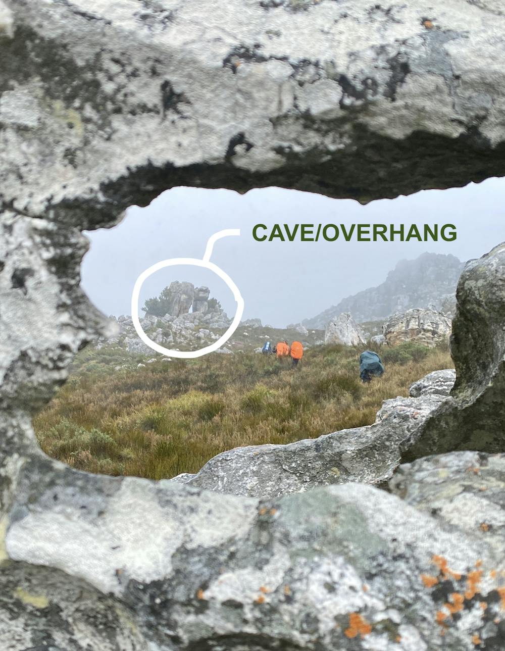
An old route with an ancient kraal on top of the mountain and a cave/overhang halfway.
Difficulty
Moderate
Hiking along trails with some uneven terrain and small hills. Small rocks and roots may be present.
Low Exposure

The path is on completely flat land and potential injury is limited to falling over.
Remoteness

Little chance of being seen or helped in case of an accident.
Best time to visit
Features
- Wildlife
- Historical
- Picturesque
- Wild flowers
- Water features
- Forestry or heavy vegetation