25 routes · Mountain Biking

An epic enduro race course that works great as a day-long shuttle ride.
Mountain Biking Severe

The Maxi Avalanche is an enduro race in the vein of the Mega Avalanche. The Maxi Avalanche descent down into the burgeoning mountain bike destination of Ainsa is a superb enduro shuttle whether or not you're racing.
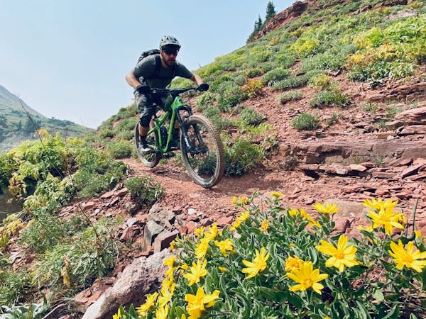
The singletrack off the pass is loose, steep, and narrow, funneling into a technical sidehill between tight trees. Lower down the grade mellows, bursting out into a beautiful alpine sidehill singletrack, with significant exposure and fall danger on the downhill side.
As the trail drops lower and lower it gets more and more technical, with some of the most challenging rock gardens actually located in a small village next to a farmer's field.
The final portion of the trail changes dramatically, flowing down a swoopy singletrack with air opportunities and long sight lines—a rewarding finish to a challenging day!
Severe
Widely variable, narrow trail tread with steeper grades and unavoidable obstacles of 15in/38cm tall or less. Obstacles may include unavoidable bridges 24in/61cm wide or less, large rocks, gravel, difficult root sections, and more. Ideal for advanced-level riders.

25 routes · Mountain Biking