9.2 km away
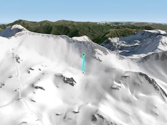
Teso dera Mina I

A short, steep run
Severe Freeride Skiing
- Distance
- 514 m
- Ascent
- 6 m
- Descent
- 186 m
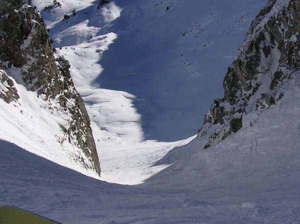
An easy and open North faced couloir.
Freeride Skiing Easy

This is a popular freeride skiing route which is generally considered to be easy. It's not remote, it features low exposure (e1) and is typically done between February and April. From a low point of 2.5 km to the maximum altitude of 2.7 km, the route covers 216 m, 0 vertical metres of ascent and 155 vertical metres of descent. You'll need skins, ice axe and crampons to complete it safely.
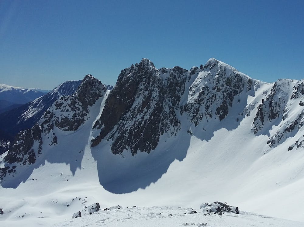
A very obvious couloir.
Easy
Wide gentle slopes at around 20 degrees or less.

Exposure is limited to that of the slope itself. Getting hurt is still likely if the slope is steep and/or the snow is hard.
Close to help in case of emergency.
9.2 km away
A short, steep run
Severe Freeride Skiing
9.2 km away

A short steep run for adventurers.
Severe Freeride Skiing
9.3 km away
Choose your line in an easily accessible snow field
Moderate Freeride Skiing
9.3 km away

A short steep run.
Severe Freeride Skiing
9.6 km away

A wild couloir!
Difficult Freeride Skiing
10 routes · Freeride Skiing