San Lorenzo de El Escorial - Pico Abantos - August 23 2020
Fun hike with open views along most of the way.
Hiking Moderate
- Distance
- 11 km
- Ascent
- 666 m
- Descent
- 668 m
- Duration
- 3-4 hrs
- Low Point
- 1.1 km
- High Point
- 1.7 km
- Gradient
- 12˚

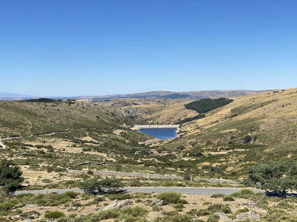
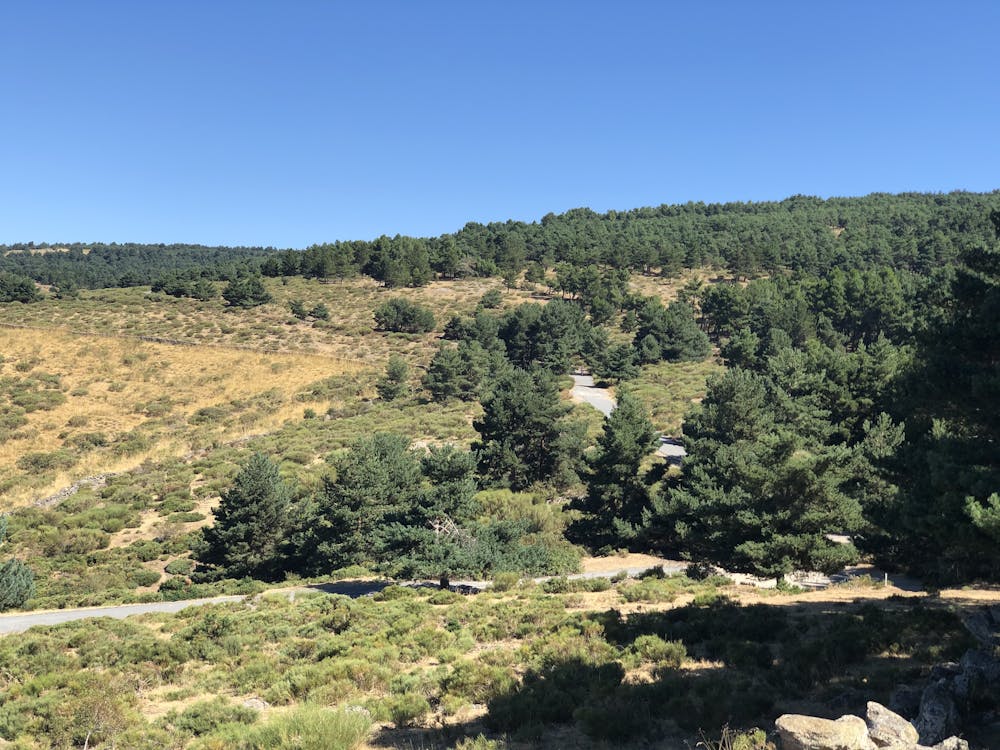
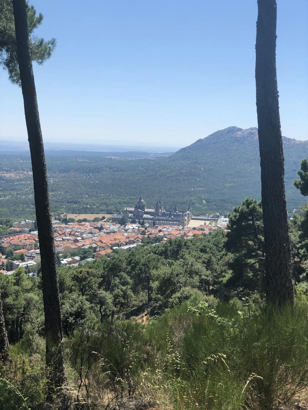
Popular and all year round fun hike with plenty of spots to stop, snack and enjoy beautiful views. You have the option of taking a wider easier path, versus a steeper narrower path. We really enjoyed the steeper path. Dog friendly. Easy parking in town. Reward yourself with a cerveza by El Escorial on your return.

- •
- •
- •
- •
- •
Difficulty
Moderate
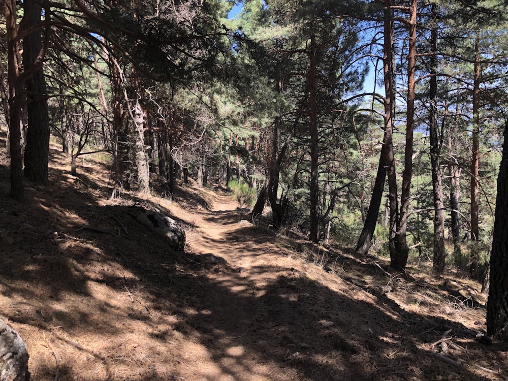
Hiking along trails with some uneven terrain and small hills. Small rocks and roots may be present.
Medium Exposure

The trail contains some obstacles such as outcroppings and rock which could cause injury.
Remoteness
Away from help but easily accessed.
Best time to visit
Features
- Wildlife
- Historical
- Picturesque
- Summit Hike
- Dog friendly
- Wild flowers
- Family friendly
- Forestry or heavy vegetation