
4 routes
Explore Madrid with curated guides of the best hiking trails, and more. With over 21 3D trail maps in FATMAP, you can easily discover and navigate the best trails in Madrid.
No matter what your next adventure has in store, you can find a guide on FATMAP to help you plan your next epic trip.
Get a top trail recommendation in Madrid, or get inspired by the 21 local adventures uploaded by the FATMAP community. Start exploring now!
4 routes
1 routes
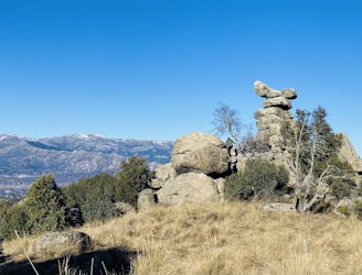
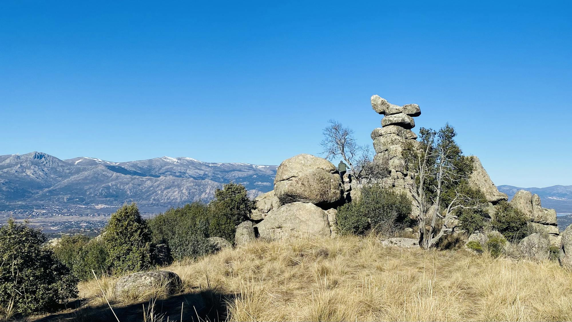
Pleasant hike, beautiful views and tons of eagles.
Easy Hiking
A massive one day circular route that covers the 10 highest peaks of Madrid Province
Severe Trail Running

Ruta Raquetas InvernalExigente
Difficult Snow Shoeing

Fantástica ruta subiendo desde la Barranca a la Maliciosa, pasando por la vertiente oeste del Peñotillo, sección un poco técnica si no estás acostumbrado a las trepadas o la roca suelta/mojada. Desde la cumbre del Peñotillo a la Maliciosa, escogí una senda que va a media ladera por una pedrera un poco perdidiza, atentos aquí. Bajada por el collado del Piornal, bien marcada y sin pérdida. ¡A disfrutar!
Moderate Hiking

Alto del León - Cueva Valiente 20k 950+
Moderate Trail Running

Carrera vertical en Abantos
Moderate Trail Running

RUTA DE MOUNTAIN BIKE POR PARTE DE LA ESPAA VACIADA, PASANDO POR EL CAON DEL RÍO DULCE Y PARTE DE LA RUTA DEL CID
Moderate Mountain Biking

Ruta hasta Fuente de la Teja
Moderate Mountain Biking