Alta Ruta of the Madrid Province
A massive one day circular route that covers the 10 highest peaks of Madrid Province
Trail Running Severe
- Distance
- 61 km
- Ascent
- 2.7 km
- Descent
- 2.7 km
- Duration
- 1 day +
- Low Point
- 1.1 km
- High Point
- 2.4 km
- Gradient
- 12˚

This is a serious undertaking for an ultra runner that bags 10 highest peaks of the Madrid Province. BE WARY: WATER IS SCARCE ALONG THE WAY; there is hardly any permanent water sources and you can replenish the supplies only in Rascafría, which is half way through.
- •
- •
- •
- •
Description
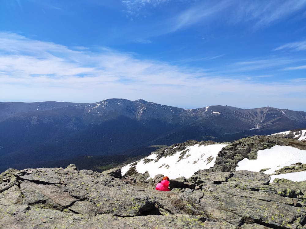
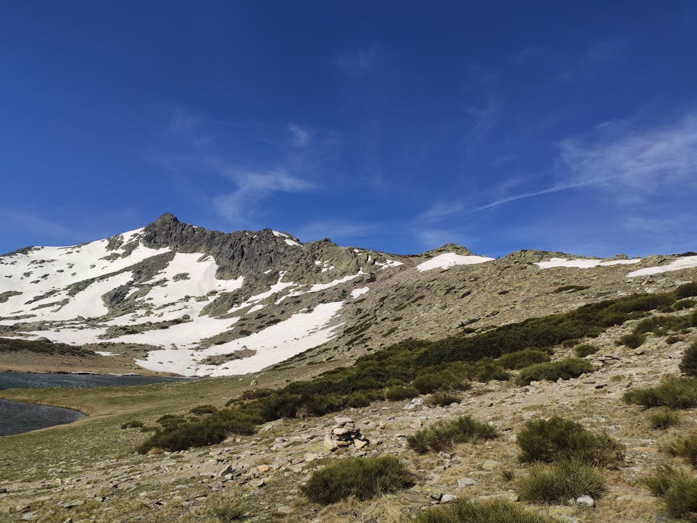
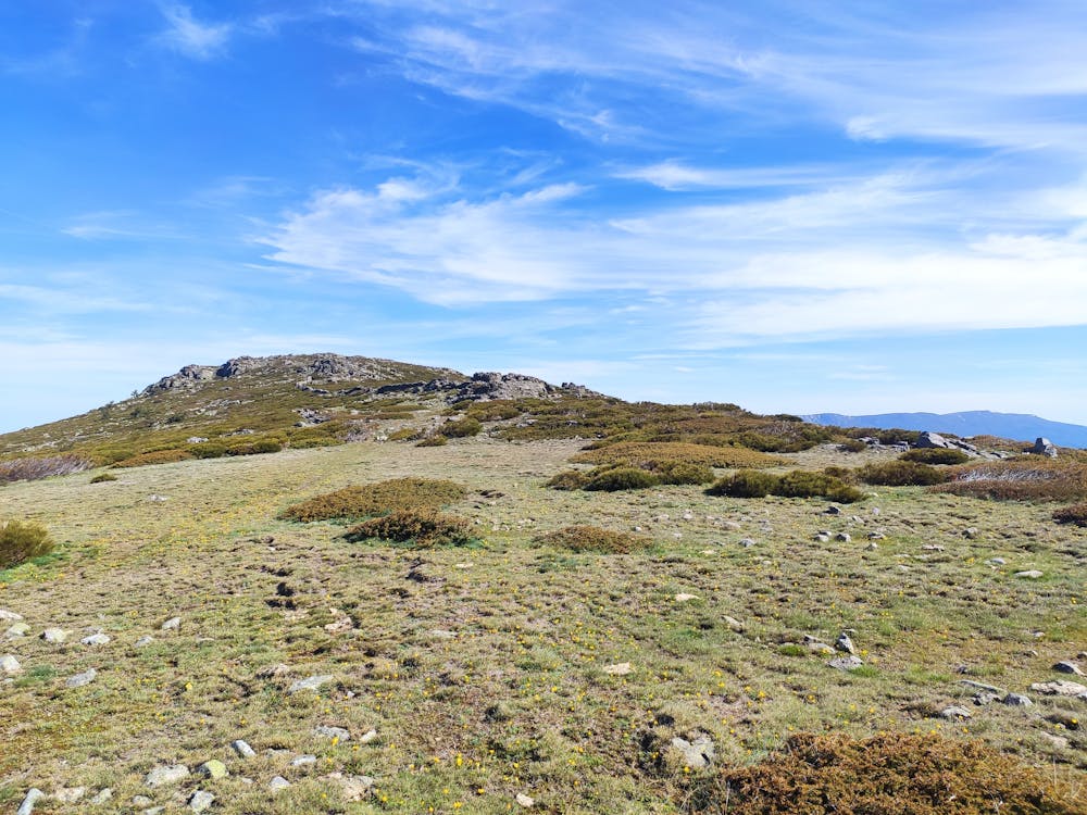
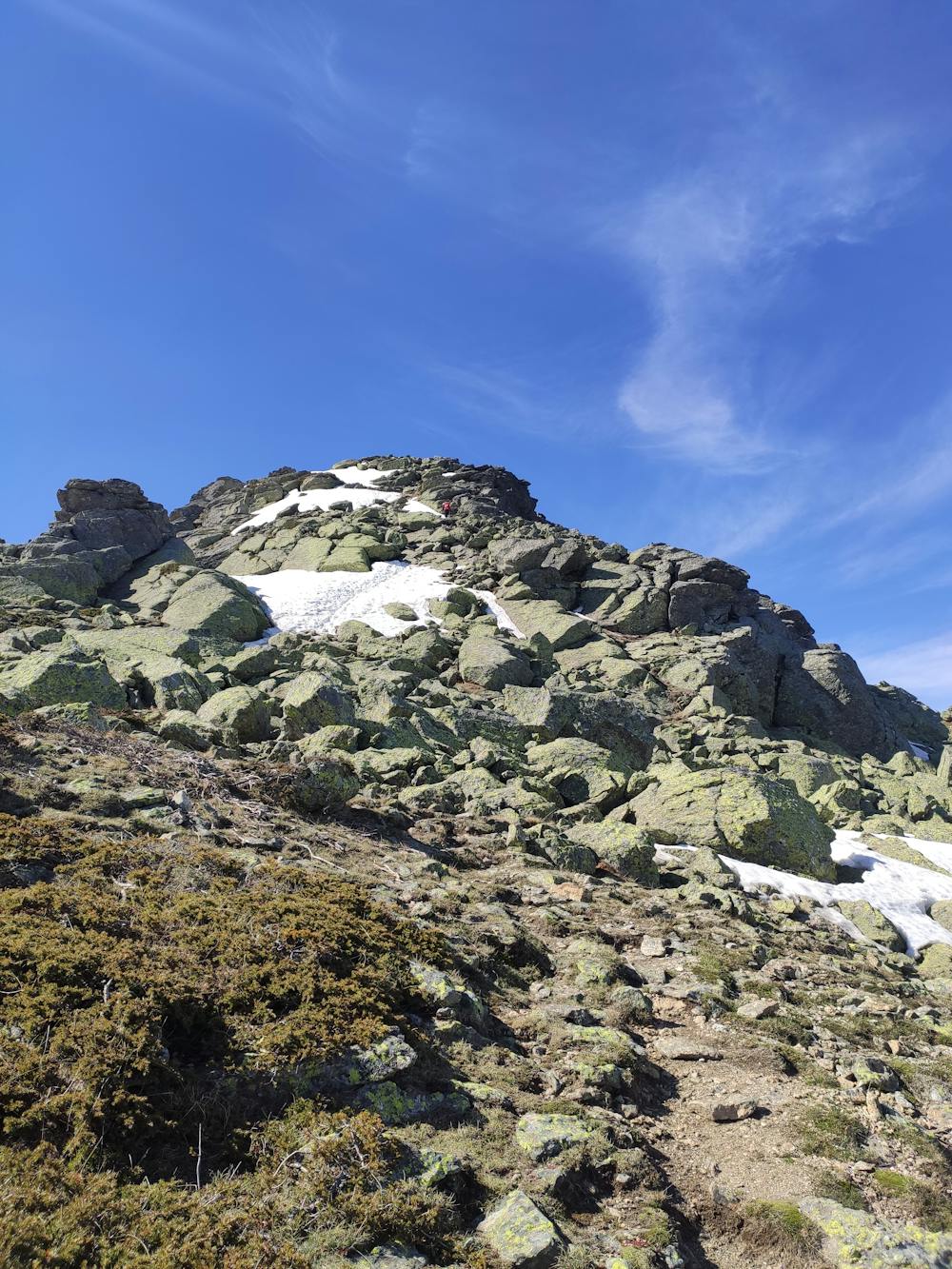
Start in Puerto de Cotos parking and climb to Bola del Mundo to then run along the famous Cuerda Larga ridge all the way to Morcuera col. Then, a long descent to Rascafría starts that takes you through scenic forests and streams to the Paular Monastery and the nice small pueblo of Rascafría. After a short break for a Spanish omelette, climb the never-ending col of Reventón, which will be a suffer-fest as you will probably be there after noon and there is absolutely zero cover from the sun in the upper part! You then need to find your way through brooms which lead you towards the cherry on the cake - Peñalara - which is the highest peak of the province at 2428m. Then a loose stone forest road will take you back to your car in Cotos.
The peaks from the top 10 climbed are in the following order:
1) Alto de las Guarramillas (aka Bola del Mundo) 2265m a.s.l. 2) Valdemartin 2280m a.s.l. 3) Cabeza de Hierro Menor 2374m a.s.l. 4) Cabeza de Hierro Mayor 2381m a.s.l. 5) Loma de Pandasco 2238 a.s.l. 6) Asomate de Hoyos 2242m a.s.l. 7) Risco de Claveles 2388m a.s.l. 8) Risco de Pajaros 2334m a.s.l. 9) Penalara: 2428m a.s.l. 10) Dos Hermanas: 2285m a.s.l.
Difficulty
Severe
Medium Exposure

The trail contains some obstacles such as outcroppings and rock which could cause injury.
Remoteness
Away from help but easily accessed.